The best walks and hikes around Monviel
4.3
(22)
129
hikers
11
hikes
Hiking around Monviel offers routes through a landscape characterized by rolling hills and agricultural areas. The region features a mix of open fields, small woodlands, and local water bodies. Trails often connect villages and historical sites, providing varied scenery for outdoor activities.
Best hiking trails around Monviel
- The most popular hiking route is Cancon and Moulinet Terroir Discovery Trail, a 9.9 miles (16.0 km) trail that takes 4 hours 19 minutes to complete. This moderate route explores the local…
Last updated: October 29, 2026
4.3
(3)
11
hikers
16.0km
04:19
210m
210m
Moderate hike. Good fitness required. Easily walkable paths.
5.0
(2)
24
hikers
6.05km
01:39
90m
90m
Easy hike. Easily walkable paths.

4.0
(1)
21
hikers
6.27km
01:41
80m
80m
Easy hike. Easily walkable paths.
5.0
(3)
14
hikers
5.19km
01:25
80m
80m
Easy hike. Easily walkable paths.
3.8
(4)
10
hikers
15.7km
04:10
160m
160m
Moderate hike. Good fitness required. Easily walkable paths.
Get access to more routes and recommendations from other explorers.
Already have an account?
Our route recommendations are based on thousands of hikes, rides, and runs completed by other people on komoot.
Start today with a free account
Your next adventure awaits.



Tips from the Community

The perfect place to take a break, the coffee stop par excellence, sports friendly +1 for a cyclist!
0
0
Superb place with a coffee shop in the square « tea mo » +1
0
0
Superb village, for my part it has more charm than Villeréal, there is a coffee shop tea mo on the square +1
0
0

360 view of the village
0
0

Dating from the 15th century, this church was built by Jean Alphéry, lord of la Tuque. The church was partly restored by the Dycayrons (heirs of the Château de la Tuque at the time) in 1901 then by the town of Lougratte in 2003. The Valette church opens its doors to weekly exhibitions in summer.
0
0
Bastide founded in 1259, Castillonnès is located on the northern edge of Lot-et-Garonne, a stone's throw from Périgord Pourpre and Bergeracois. To see: the central square surrounded by arcades, its atypical market hall and its pepper-pot bell tower.
0
0

Lougratte is a commune in the French department of Lot-et-Garonne and has 393 inhabitants. The place is part of the arrondissement of Villeneuve-sur-Lot
3
0

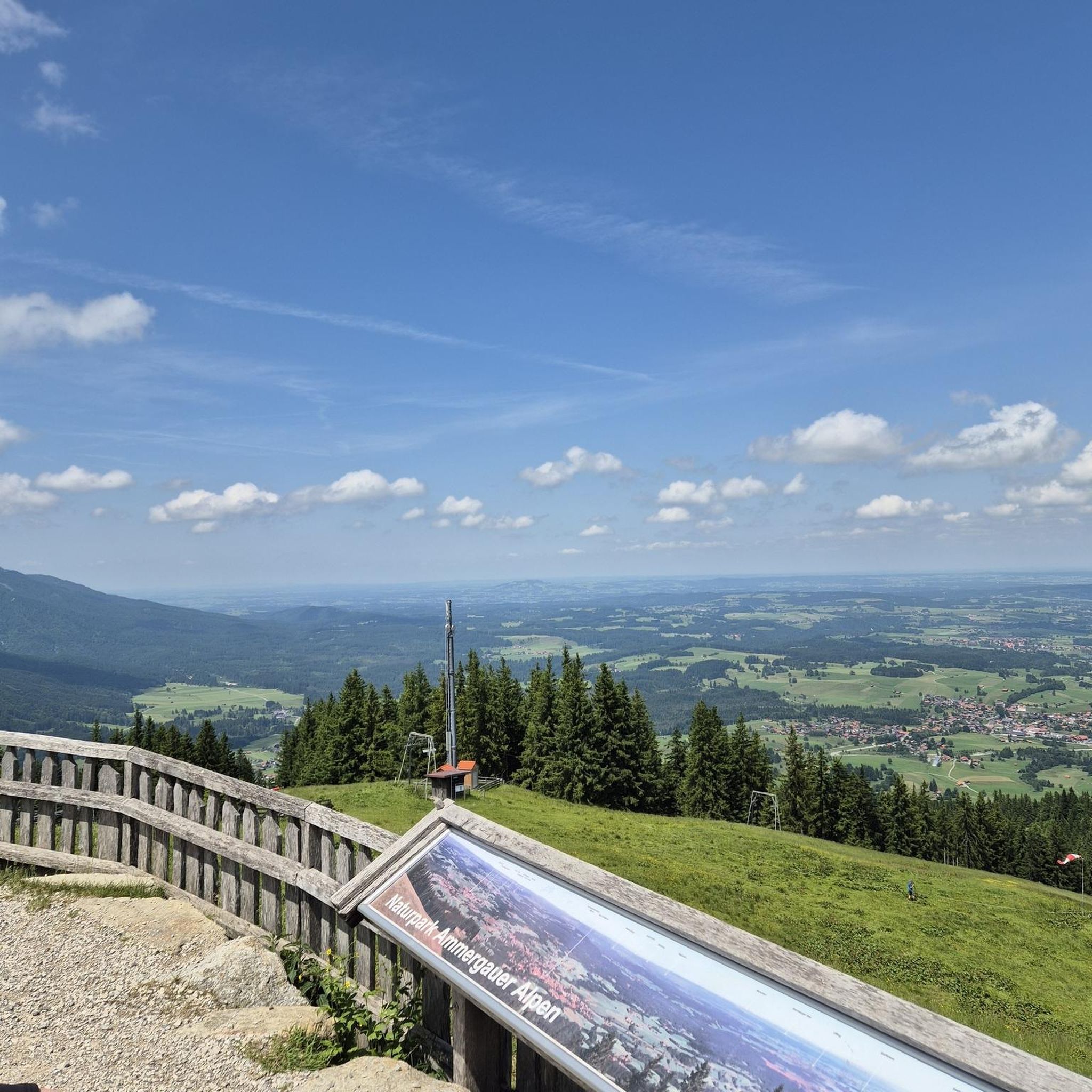
A fantastic panoramic viewpoint with a display board for orientation.
3
0
Frequently Asked Questions
How many hiking trails are available around Monviel?
There are 8 hiking trails available around Monviel. These routes offer a variety of experiences through the local landscape.
What are the difficulty levels of hiking trails in Monviel?
The hiking trails in Monviel are categorized into two main difficulty levels: 4 easy routes and 4 moderate routes. There are no difficult routes listed, making the area accessible for a wide range of hikers.
Are there any easy hiking routes suitable for beginners or families in Monviel?
Yes, Monviel offers 4 easy hiking routes perfect for beginners or families. An example is the Lake Tombebeuf loop from Tombebœuf, which is about 4.2 miles (6.8 km) long and leads through areas around a local lake.
Can I find circular hiking routes in Monviel?
Yes, several routes in Monviel are designed as loops. For instance, the Lake Tombebeuf loop from Tombebœuf and the Château de Saint-Pastour loop from Saint-Pastour are both circular paths, allowing you to start and end at the same point.
What kind of landscapes can I expect to see while hiking near Monviel?
Hiking near Monviel offers routes through a landscape characterized by rolling hills and agricultural areas. You can expect a mix of open fields, small woodlands, and local water bodies. Trails often connect villages and historical sites, providing varied scenery.
Are there any interesting historical sites or landmarks to see along the trails?
Yes, some trails pass by interesting sites. For example, the Château de Saint-Pastour loop from Saint-Pastour suggests proximity to the historic Lauzun Castle. You might also encounter charming villages like Castillonnés and its Place des Arcades.
What do other hikers say about the trails in Monviel?
The routes in Monviel are highly rated by the komoot community, with an average score of 4.3 stars from over 10 reviews. Hikers often praise the varied terrain and the peaceful agricultural landscapes.
When is the best time of year to go hiking in Monviel?
Given the region's characteristics of rolling hills and agricultural areas, spring and autumn are generally ideal for hiking in Monviel. The weather is typically milder, and the landscapes offer vibrant colors, making for a pleasant experience.
Are there options for longer, more challenging hikes in Monviel?
While there are no 'difficult' routes, Monviel does offer moderate options for those seeking a longer hike. The Cancon and Moulinet Terroir Discovery Trail is a moderate 9.9 miles (16.0 km) route, and the Castillonnés – Place des Arcades, Castillonès loop from Lagrange is a similar length at 9.7 miles (15.7 km).
Where can I find parking for hiking trails in Monviel?
Specific parking information for each trail is usually detailed on the individual route pages on komoot. Generally, trails starting from villages or popular points of interest like lakes often have designated parking areas nearby.
Are there any less crowded hiking options around Monviel?
Monviel is generally a less-known local area, so many of its trails offer a tranquil experience away from large crowds. For a quieter walk, consider routes that explore the smaller woodlands and agricultural fields, such as the Lougratte Town Hall – Saint-Étienne Church loop from Lougratte.
Most popular attractions around Monviel

Get inspired with the komoot mobile app


Explore more
Browse the best Hikes in other regions.
