The best running trails around Bergdietikon
4.5
(1176)
35,809
runners
757
runs
Jogging around Bergdietikon offers diverse natural features, including dense forests, scenic viewpoints, and tranquil lakes. The region's terrain varies from gentle paths around water bodies to more challenging routes with moderate elevation gains. Runners can explore a mix of natural monuments and wooded areas, providing varied scenery for different fitness levels.
Best jogging routes around Bergdietikon
- The most popular jogging route is Chlosterweiher – Franzosenweiher loop from Schöneggstrasse, a 6.3 miles (10.1 km) trail that takes 1 hour 3…
Last updated: November 10, 2026
4.5
(2)
362
runners
10.2km
01:04
80m
80m
Moderate run. Good fitness required. Mostly paved surfaces.
44
runners
6.08km
00:42
150m
150m
Moderate run. Good fitness required. Mostly paved surfaces.

38
runners
7.16km
00:48
160m
160m
Moderate run. Good fitness required. Mostly paved surfaces.
20
runners
6.97km
00:43
40m
40m
Moderate run. Good fitness required. Mostly paved surfaces.
28
runners
11.7km
01:17
140m
140m
Moderate run. Good fitness required. Mostly paved surfaces.
Get access to more routes and recommendations from other explorers.
Already have an account?
Our route recommendations are based on thousands of hikes, rides, and runs completed by other people on komoot.
Start today with a free account
Your next adventure awaits.
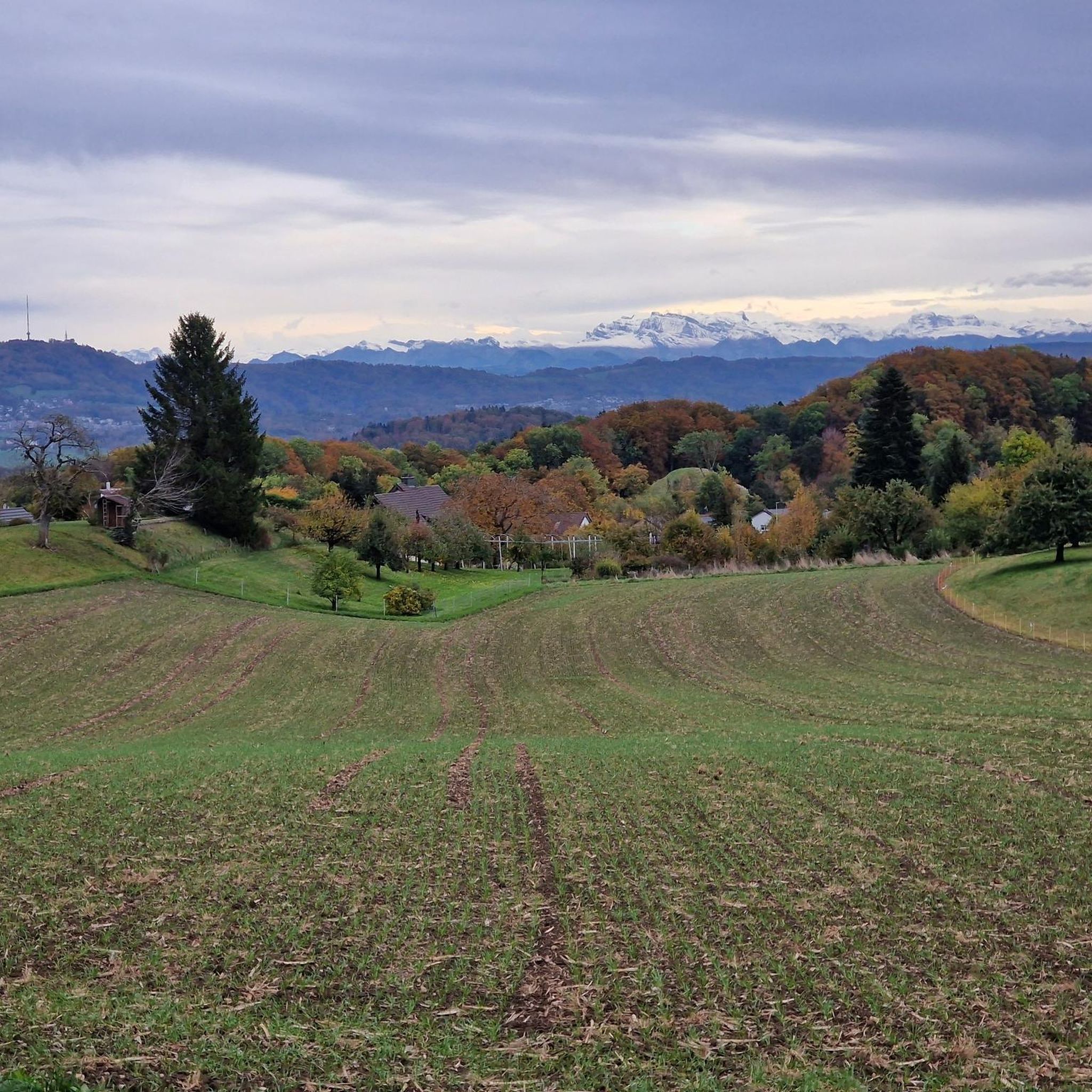
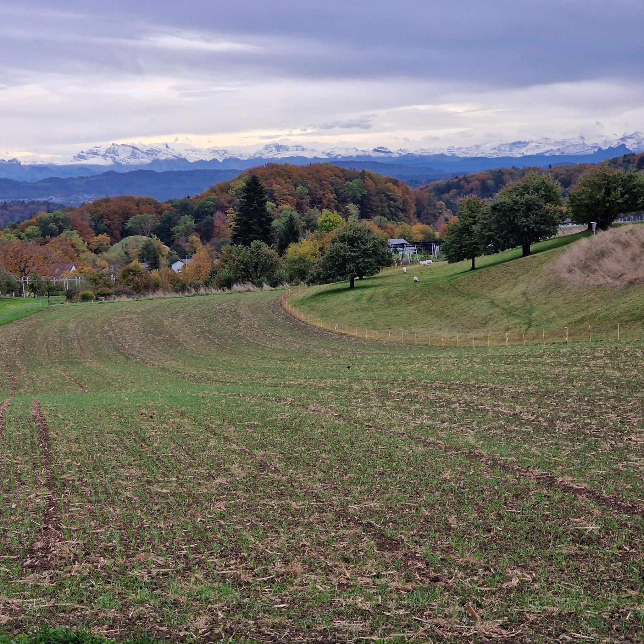
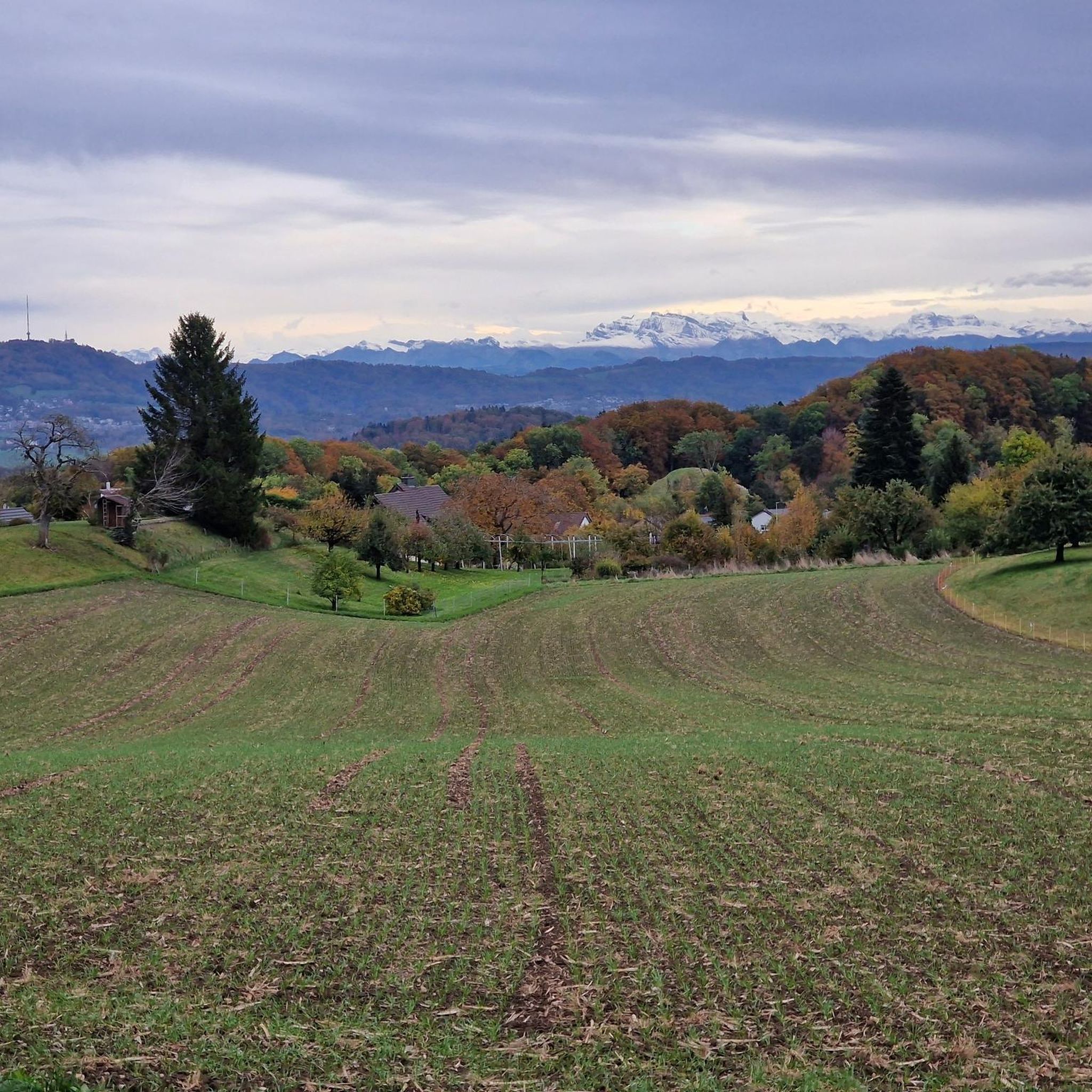
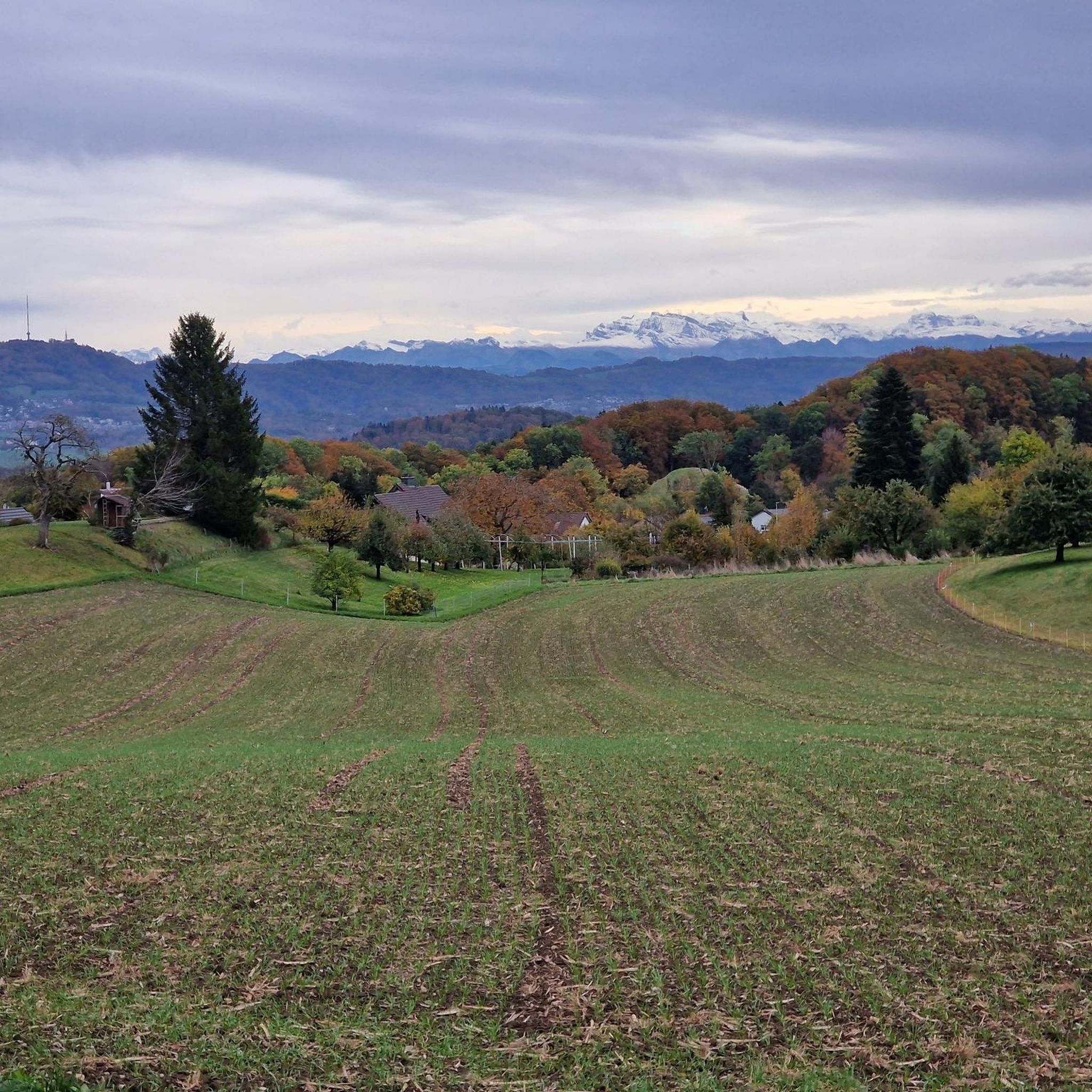
Tips from the Community

Very nice spot at the Egelsee, which invites you to swim in the summer. Barbecue and seating areas are available. Expect many visitors on weekends.
0
0

A beautiful barbecue area at the Heisterberg crossroads invites you to take a short break.
8
0

The Franzosenweiher, idyllically located in the forest between Dietikon and Spreitenbach, is a beautiful spot for a short break. Numerous benches are scattered around the pond, where you can linger comfortably and enjoy the peaceful nature. The small pond is situated in a natural area and is today part of a nature reserve. It offers an important habitat for amphibians, among other creatures. The name of the pond also has an interesting history: Originally, it was created by monks from the Wettingen monastery for fish farming and was therefore called Chlosterweiher. In 1799, French soldiers are said to have emptied the pond to catch the fish living in it – hence the current name Franzosenweiher.
0
0
The pond is located slightly above Bremgarten (AG), in the forest area towards Eggenwil. A small pond that was once artificially created and today offers a habitat as a biotope for amphibians and waterfowl. There is a bench for short breaks or simply to observe nature. Beautiful hiking and cycling paths lead to and from the pond.
0
0
Beautiful section on the ridge trail with views towards Dietikon and Spreitenbach. Note: In summer, visibility is partially restricted by the dense foliage of the trees.
10
0
Quietly located lake in the middle of the forest, ideal for a short pause and a breath of fresh air. The Egelsee impresses with its natural atmosphere and is a beautiful intermediate point on the tour – a real feel-good spot, especially on warm days.
10
0
Popular jumping platform directly on the idyllic Egelsee – in summer a real attraction for a quick cool-down or simply to watch.
9
0
Quietly located picnic spot in the middle of the forest – ideal for a relaxing break along the way. Seating and the Drachenbrunnen make this place perfect for catching your breath, recharging, and enjoying nature.
9
0
Frequently Asked Questions
How many jogging routes are available around Bergdietikon?
Bergdietikon offers a wide selection of running trails, with over 780 routes available. This includes a variety of options suitable for different fitness levels, from easy strolls to more challenging runs.
What kind of terrain can I expect on running trails in Bergdietikon?
The region features diverse terrain, ranging from gentle paths around tranquil lakes like the Egelsee to more demanding routes through dense forests and along scenic ridges. You'll find a mix of paved and unpaved surfaces, with some trails offering moderate elevation gains and others requiring sure-footedness, such as sections of the Lägerngrat Ridge Trail.
What do other runners say about the jogging routes in Bergdietikon?
The running trails in Bergdietikon are highly regarded by the komoot community, boasting an average rating of 4.5 stars from over 900 reviews. Runners frequently praise the picturesque natural scenery, the variety of routes, and the well-maintained paths that make for an enjoyable experience.
Are there easy running routes suitable for beginners in Bergdietikon?
Yes, Bergdietikon has approximately 40 easy running routes perfect for beginners or those looking for a relaxed jog. These often feature mostly paved surfaces and gentle gradients, such as loops around the Egelsee.
Where can I find more challenging or long-distance running trails in the area?
For those seeking a greater challenge, Bergdietikon offers over 90 difficult routes, some exceeding 10 miles or 1000 ft of elevation gain. An example of a longer, moderate route is the Gravel Trail in Reppis Valley – Brüggliweg loop from Stoffelbach, which covers over 14.5 km. The Lägerngrat Ridge Trail also provides a more demanding experience with varied terrain and beautiful views.
Are there any scenic viewpoints or natural attractions along the running trails?
Absolutely! Many routes offer stunning views and pass by natural attractions. The Hasenberg Tower – Lake Egelsee (Bergdietikon) loop from Widen combines natural beauty around the Egelsee with panoramic views from the Hasenberg Tower. The Dominiloch Footbridge over the Reuss River also provides magnificent views of the river and surrounding landscape.
Can I find routes that pass by waterfalls or caves in the Bergdietikon area?
Yes, the Bergdietikon region is home to several natural wonders. You can explore routes that lead to beautiful waterfalls like the Sihl Waterfall or the Tägerig Waterfalls. For those interested in caves, highlights such as the Walhalla Cave and Picnic Area or the Russian Tunnel (Russians' Cave) are also nearby.
Are the jogging routes in Bergdietikon suitable for families?
Many of Bergdietikon's running paths are suitable for families, especially the easier, flatter loops around natural features like the Egelsee. These routes often provide picturesque and safe environments for a family outing, combining exercise with enjoying nature.
Are there dog-friendly running trails in Bergdietikon?
Yes, many trails in Bergdietikon are dog-friendly, allowing you to enjoy a run with your canine companion. The areas around the Egelsee, for instance, are popular for walks and runs with dogs, offering plenty of natural space to explore. Always ensure your dog is under control and check for any specific local regulations.
Where can I park my car when accessing running trails in Bergdietikon?
Parking is generally available near popular trailheads and attractions in Bergdietikon. For routes like the Chlosterweiher – Franzosenweiher loop from Schöneggstrasse or those around the Egelsee and Hasenberg Tower, you can typically find designated parking areas at the starting points or in nearby villages.
How accessible are the jogging routes by public transport?
Bergdietikon's running routes are generally accessible by public transport, with various starting points reachable via local bus services. Many trails begin near village centers or bus stops, making it convenient to reach them without a car. It's advisable to check local transport schedules for specific route access.
What is the best time of year to go jogging in Bergdietikon?
Bergdietikon offers excellent jogging opportunities year-round. While spring and autumn provide pleasant temperatures and vibrant scenery, the Egelsee area is also known for its idyllic winter landscapes, offering unique running experiences on snow-covered paths. Summer is also popular, with many trails winding through shaded forests.
Are there many circular running routes in Bergdietikon?
Yes, circular routes are a prominent feature of jogging in Bergdietikon. Many popular trails are designed as loops, allowing you to start and finish at the same point. Examples include the Chlosterweiher – Franzosenweiher loop and the Egelsee – Lake Egelsee (Bergdietikon) loop from Bellikon.
Most popular routes around Bergdietikon
Most popular attractions around Bergdietikon

Get inspired with the komoot mobile app


Explore more
Browse the best Running Trails & Routes in other regions.
