The best road cycling routes around Moudeyres
4.7
(37)
995
riders
88
rides
Road cycling routes around Moudeyres traverse a distinctive volcanic landscape within the Monts d'Ardèche Regional Natural Park. The terrain is characterized by ancient basaltic rocks and varied elevation, offering both challenging climbs and scenic descents. Cyclists can expect routes that wind through the volcanic Velay region, featuring a mix of hills and plateaus. The area's geological heritage, including its UNESCO Global Geopark status, contributes to the unique and rugged scenery.
Best road cycling routes around Moudeyres
- The most popular road…
Last updated: May 20, 2026
42
riders
66.2km
03:18
960m
960m
Hard road ride. Very good fitness required. Some segments of this route may be unpaved and difficult to ride.
5.0
(3)
38
riders
48.4km
02:28
840m
840m
Moderate road ride. Good fitness required. Mostly well-paved surfaces and easy to ride.

Sign up for free
18
riders
44.1km
02:21
880m
880m
Moderate road ride. Good fitness required. Mostly well-paved surfaces and easy to ride.
18
riders
56.8km
02:49
820m
820m
Moderate road ride. Good fitness required. Mostly well-paved surfaces and easy to ride.
18
riders
41.5km
02:07
730m
730m
Moderate road ride. Good fitness required. Mostly well-paved surfaces and easy to ride.
Get access to more routes and recommendations from other explorers.
Sign up for free
Already have an account?
Our route recommendations are based on thousands of hikes, rides, and runs completed by other people on komoot.
Start today with a free account
Your next adventure awaits.
Login or Signup

Tips from the Community

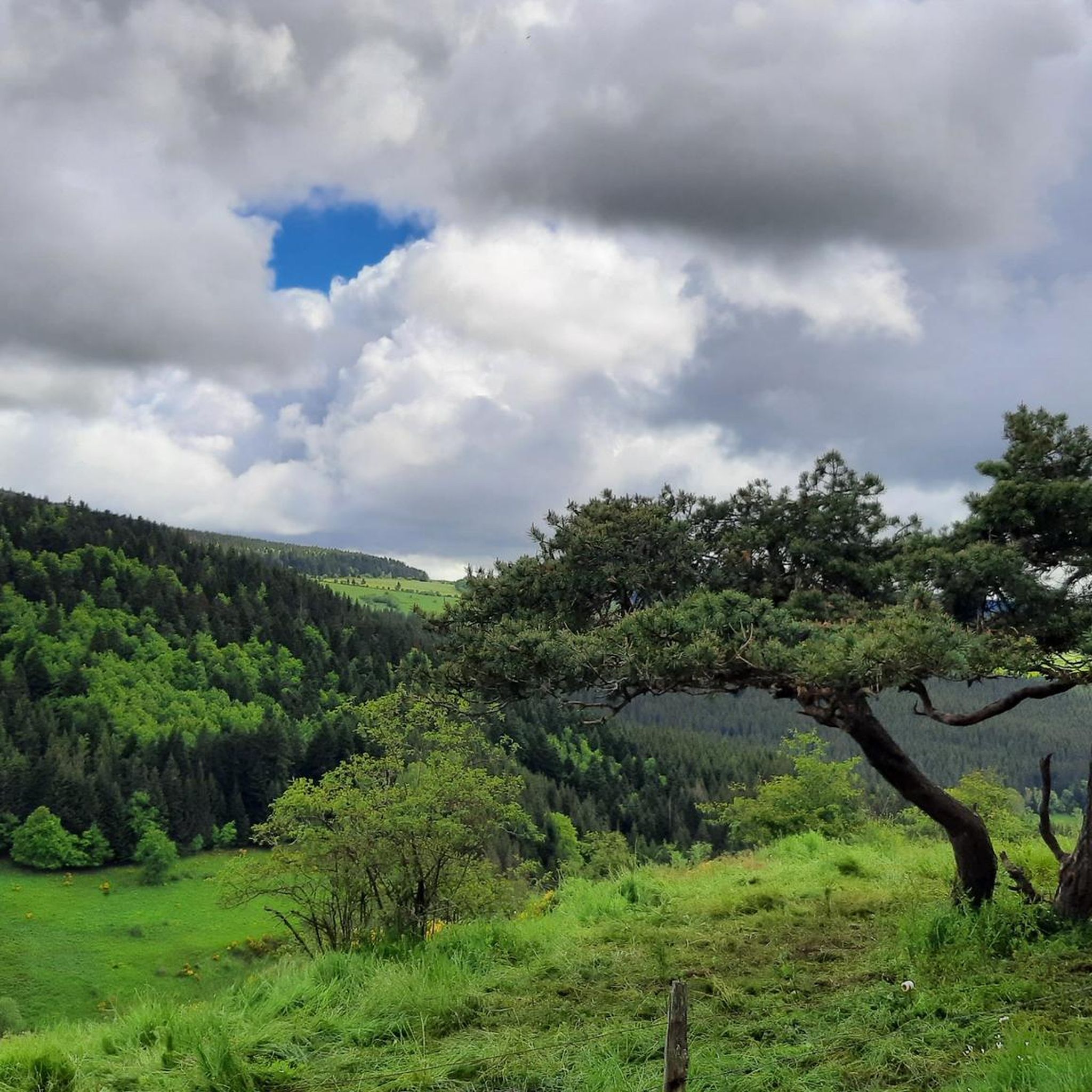
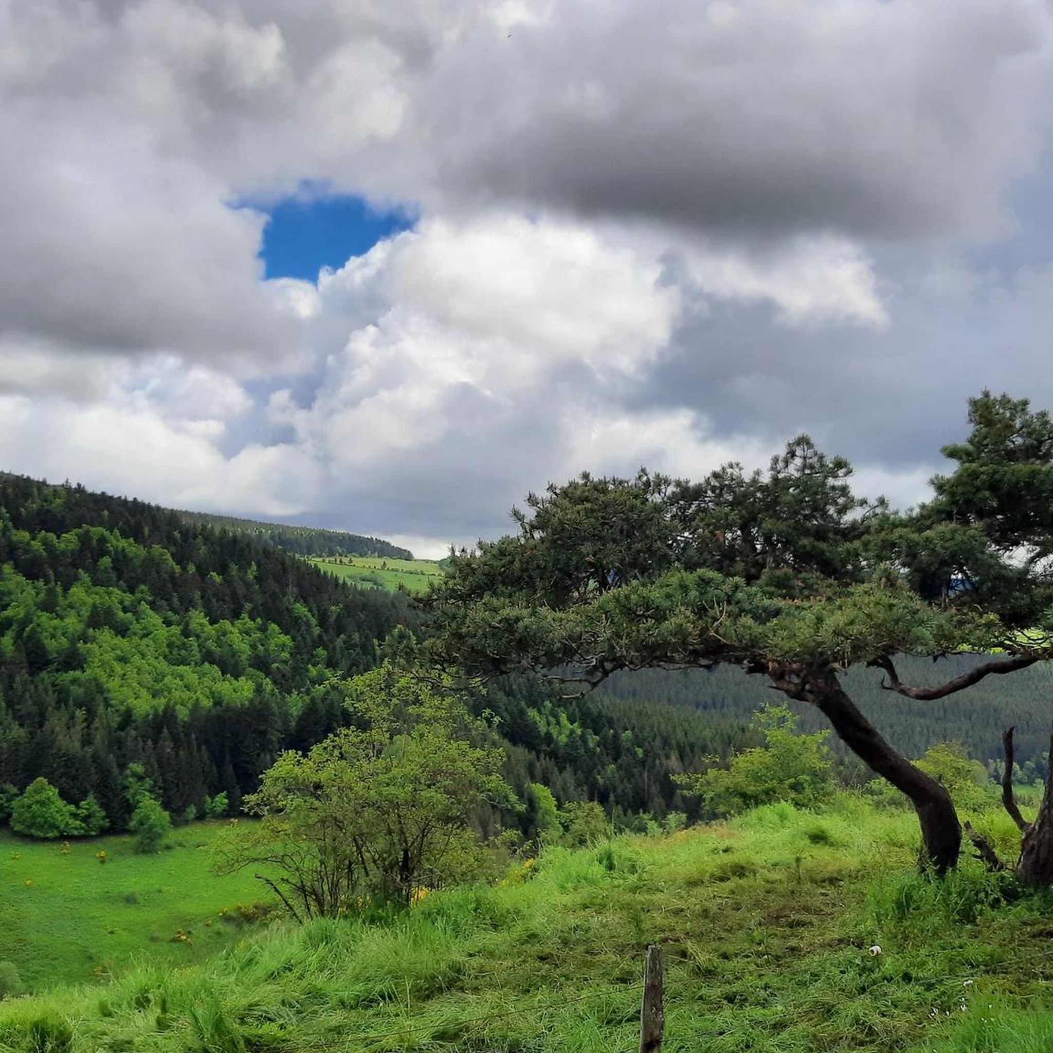
pretty flowers, pretty trees, pretty views, but what more could you ask for...oh yes, a windbreaker, because the mistral makes his grandmother cold.
0
0
If you are a short person and you venture into the fields of erigeron, say goodbye to your family and friends... it is very likely that they will never see you again.
0
0
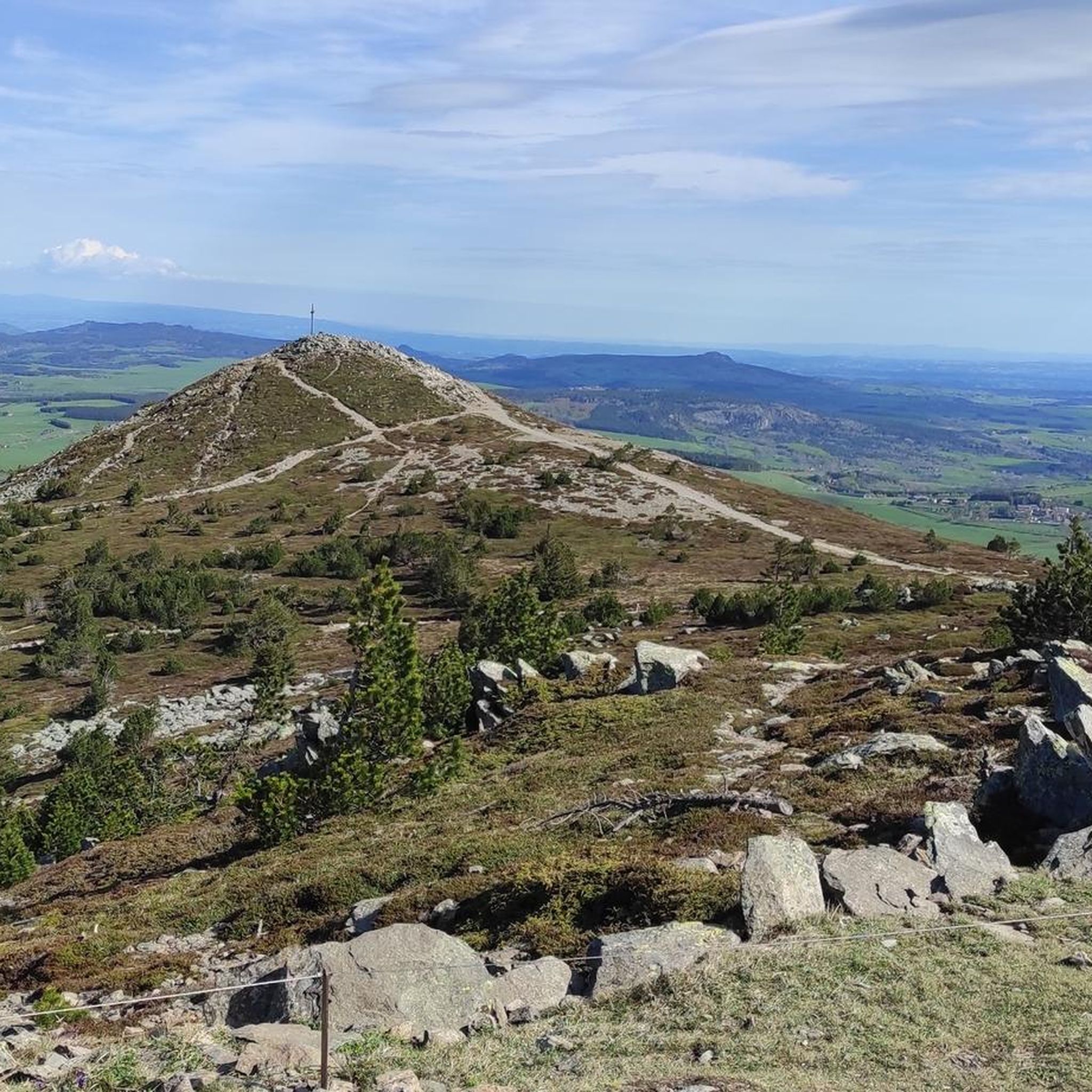
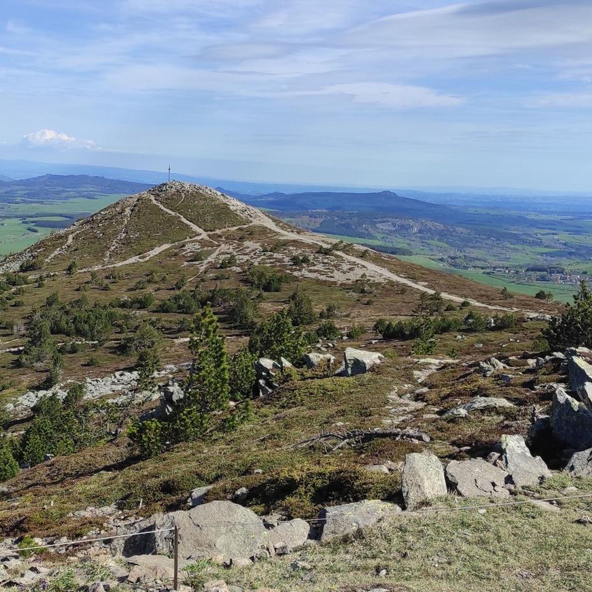
The cross is a bit ugly but it is not for it that we come to frolic in these green lands but rather for this landscape that would make a Caribou pale.
0
0
landscape that would make a caribou pale
0
0

The pretty town of St-Julien-Chapteuil at the foot of the Meygal peaks.
0
0

This stone bridge, once an important crossing, is now partly collapsed, but its still visible arches offer a fascinating spectacle. Walking around the ruins, one can admire the tranquil beauty of the river flowing below, surrounded by lush vegetation.
1
0

A pass at an altitude of over 1500 m. It is the highest in Ardèche.
0
0

One of the highest road points in Haute-Loire, and a very beautiful view of the Pic Du Lisieux
0
0
Frequently Asked Questions
What is the typical terrain and elevation gain for road cycling around Moudeyres?
Road cycling routes around Moudeyres are characterized by a distinctive volcanic landscape within the Monts d'Ardèche Regional Natural Park. You can expect varied and challenging terrain, with ancient basaltic rocks, hills, and plateaus. Routes often feature significant elevation gains; for example, the Boutières Cross Pass loop from Moudeyres includes over 840 meters of ascent.
Are there road cycling routes suitable for beginners in Moudeyres?
The road cycling network around Moudeyres primarily offers routes for moderate and difficult ability levels. According to komoot data, there are no easy routes available, suggesting that cyclists should have some experience with varied terrain and elevation.
What natural features can I expect to see on road cycling routes near Moudeyres?
The region is part of a UNESCO Global Geopark, offering extraordinary geological heritage. Cyclists can encounter dramatic volcanic landscapes, basaltic rock formations, and scenic views. Notable natural highlights include the South summit of Mont Mézenc, offering panoramic vistas, and the Boutières Cross Pass. You might also find lakes like Lac de Saint-Front and various 'sucs' (volcanic peaks) such as Suc de Chapteuil.
Are there any cultural attractions or landmarks to visit along the road cycling routes?
Moudeyres itself is known for its traditional architecture, including houses with flagstone or thatched roofs. A significant cultural attraction is the Ferme des Frères Perrel (Perrel brothers' farm), an ecomuseum showcasing rural life. While specific routes might not pass directly by all attractions, the village and its surroundings offer charming sights like its church, fountains, and 'chibottes' (stone structures).
When is the best time of year for road cycling in Moudeyres?
The Auvergne-Rhône-Alpes region, where Moudeyres is located, is generally best for cycling during the warmer months, typically from late spring through early autumn. This period offers more favorable weather conditions for tackling the varied terrain and elevation, avoiding potential snow or ice at higher altitudes like Mont Mézenc.
Are there many circular road cycling routes available around Moudeyres?
Yes, many road cycling routes around Moudeyres are designed as loops. For instance, the Roadbike loop from Laussonne and the Old bridge of Brives (ruins) – Galard Bridge loop from Laussonne are popular circular options, allowing you to start and end in the same location.
What do other road cyclists enjoy the most about road cycling in Moudeyres?
The area is highly rated by the komoot community, with an average score of 4.5 stars from over 30 reviews. Cyclists often praise the unique volcanic landscapes, the challenging yet rewarding climbs, and the scenic beauty of the Monts d'Ardèche region.
How many road cycling routes are there in Moudeyres?
There are over 90 road cycling routes available around Moudeyres on komoot, offering a wide range of options for cyclists looking to explore the region's unique volcanic terrain.
Can I find routes that offer significant climbs and descents?
Absolutely. The region is known for its 'altitude metres' and varied elevation. Routes like the Old bridge of Brives (ruins) – Pont de la Chartreuse loop from Laussonne feature over 1000 meters of elevation gain, providing challenging climbs and exhilarating descents through the volcanic landscape.
Are there any specific viewpoints recommended for road cyclists?
Yes, the region offers several excellent viewpoints. The South summit of Mont Mézenc provides fantastic panoramic views, and the Col de la Croix Peccata is another notable spot for scenic vistas along your ride.
What is the longest road cycling route available from Moudeyres?
One of the longer routes available is the Old bridge of Brives (ruins) – Lavoûte-sur-Loire Bridge loop from Laussonne, which spans over 71 kilometers (approximately 44 miles), offering an extended exploration of the area's diverse landscapes.
Most popular attractions around Moudeyres

Get inspired with the komoot mobile app


Explore more
Browse the best Road cycling routes in other regions.
