The best walks and hikes around Sireix
4.4
(2314)
19,244
hikers
339
hikes
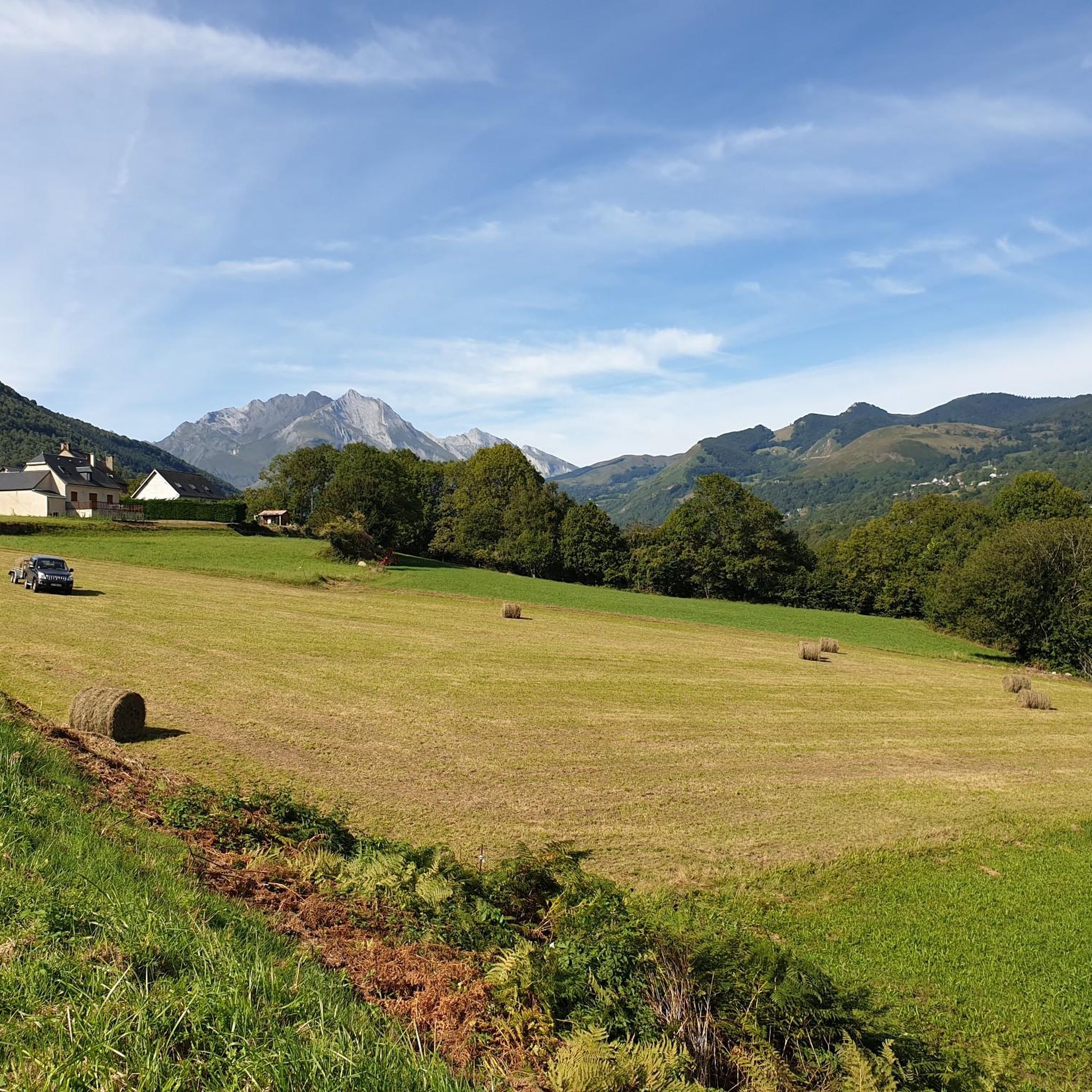
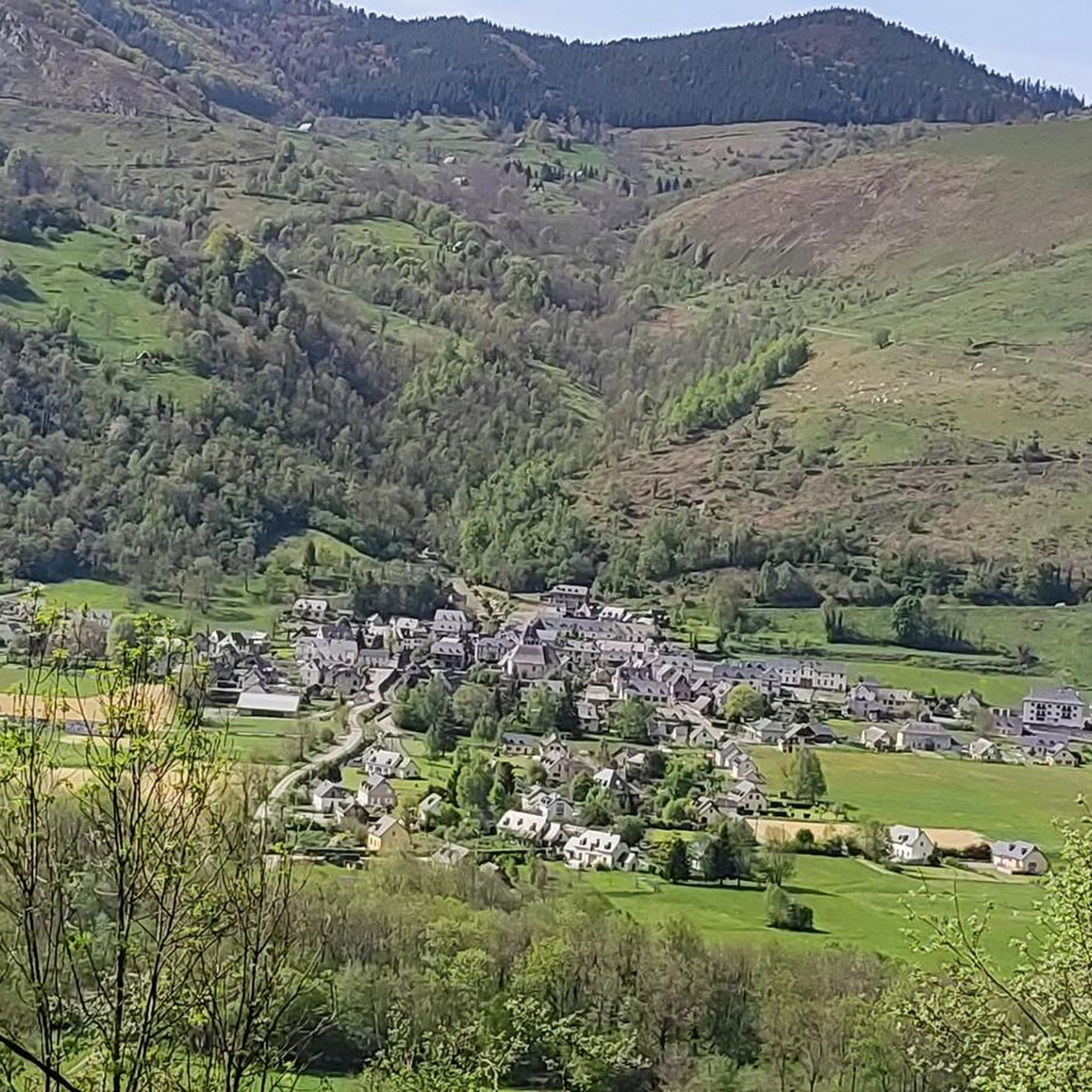
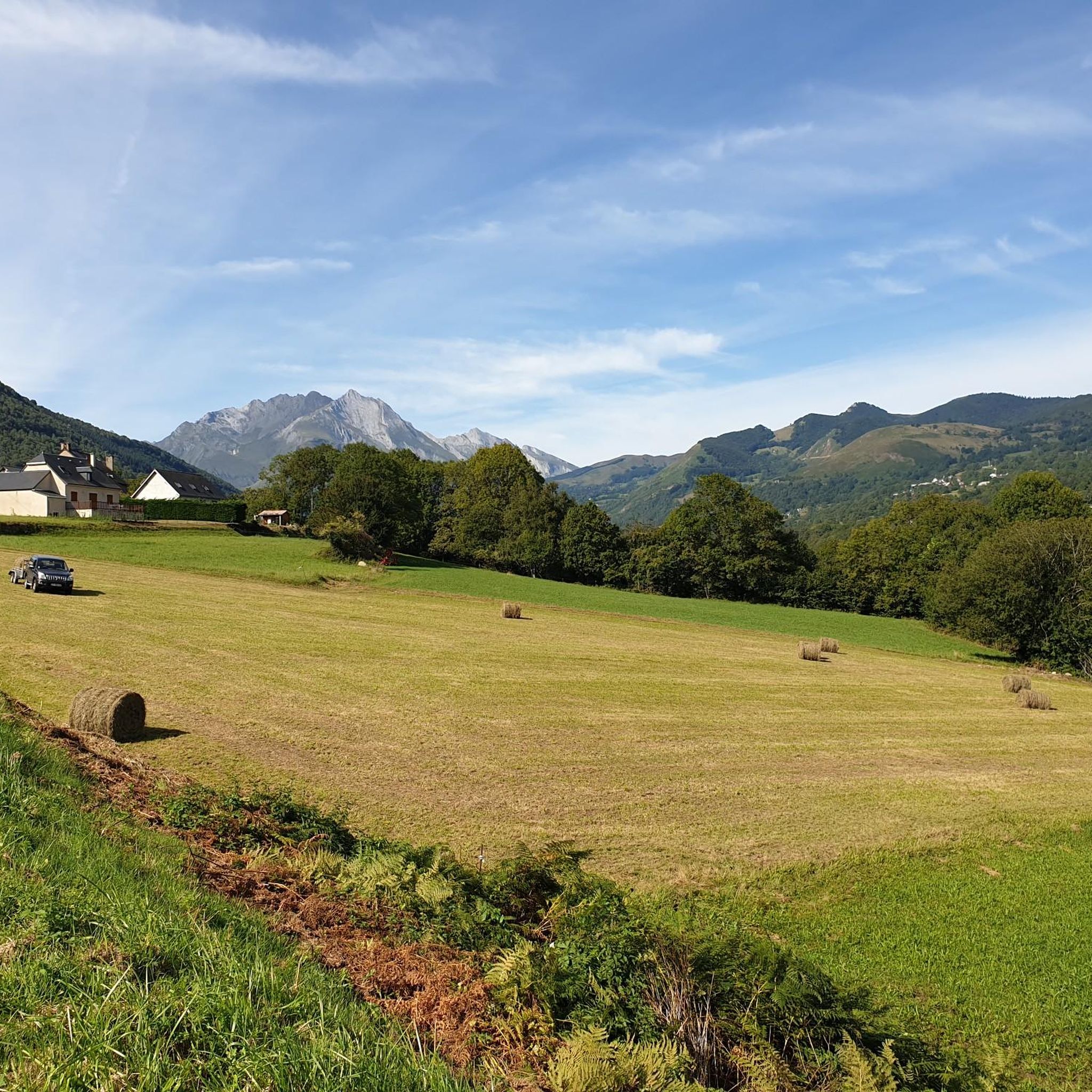
Hiking around Sireix, situated in the Hautes-Pyrénées department of France, provides access to a diverse mountainous landscape within the Pyrenees National Park. The region is characterized by high mountain peaks, verdant valleys, and waterways like the Gave d'Estaing. Elevations in the commune range from 668 to 1,042 meters, offering varied terrain for outdoor activities. This area is known for its dramatic natural features, including glacial cirques and mountain passes.
Best hiking trails around Sireix
- The most popular hiking route is…
Last updated: November 17, 2026
4.7
(33)
154
hikers
6.13km
02:23
390m
390m
Moderate hike. Good fitness required. Mostly walkable paths. Sure-footedness required.
4.4
(8)
89
hikers
10.4km
03:56
720m
720m
Moderate hike. Good fitness required. Easily walkable paths.

4.7
(13)
94
hikers
11.3km
04:11
680m
680m
Hard hike. Good fitness required. Sure-footedness, sturdy shoes and alpine experience required.
4.6
(19)
58
hikers
11.9km
04:52
680m
680m
Moderate hike. Good fitness required. Mostly walkable paths. Sure-footedness required.
4.3
(21)
56
hikers
4.14km
01:21
180m
180m
Easy hike. Easily walkable paths.
Get access to more routes and recommendations from other explorers.
Already have an account?
Our route recommendations are based on thousands of hikes, rides, and runs completed by other people on komoot.
Start today with a free account
Your next adventure awaits.


Tips from the Community

Beautiful view at the summit over the Val d'Azun
0
0

The climb to the peak requires good physical condition. You should also bring enough water as there are not many shaded sections.
0
0

A very nice climb. Be careful because there's a steep section. Check the altitude.
0
0

Superb views of the Pyrenees. Magnificent single track trails in autumn
1
0

viewpoint over the valley of the gift de pau.
1
0
From here you can make a nice descent to Arcizans-Dessus.
1
0
Beautiful viewpoint, paragliders often take off here.
2
0

Frequently Asked Questions
How many hiking trails are available around Sireix?
Sireix offers a wide variety of hiking opportunities, with over 290 routes recorded on komoot. These range from easy strolls to challenging mountain ascents, catering to all skill levels.
What kind of natural features can I expect to see on hikes near Sireix?
The region around Sireix, being a gateway to the Pyrenees National Park, is rich in dramatic natural features. You'll encounter majestic mountain peaks, deep verdant valleys, and impressive glacial cirques such as the Cirque du Lys, Cirque du Litor, and the renowned UNESCO World Heritage site, the Cirque de Gavarnie. Many routes also feature stunning viewpoints and access to high-altitude lakes.
Are there any easy or family-friendly hiking trails in Sireix?
Yes, Sireix has 84 easy routes perfect for families or those seeking a relaxed walk. A good option is the . loop from Arcizans-Dessus, which is an easy 4.1 km trail with minimal elevation gain, suitable for a pleasant outing.
What are some notable landmarks or viewpoints accessible from Sireix's hiking trails?
Hikers can discover several significant landmarks and enjoy panoramic views. The Cabaliros Peak loop from La Tucoy offers extensive vistas from its summit. Other notable points of interest in the wider area include the famous Col du Soulor and Route from Soulor to Aubisque (Cirque du Litor), both offering breathtaking mountain scenery.
Are there any circular hiking routes around Sireix?
Yes, many of the trails around Sireix are circular, allowing you to start and end at the same point. Popular circular options include the Mount de Gez – View of Argelès-Gazost loop from Arras-en-Lavedan, a moderate 6.2 km route, and the scenic Lac d'Estaing – Lac d'Estaing loop from Estaing, which is 11.2 km long.
What is the best time of year to go hiking in Sireix?
The best time for hiking in Sireix is generally from late spring to early autumn (May to October) when the weather is mild, and mountain passes are clear of snow. Summer offers the warmest temperatures, but spring and autumn provide beautiful foliage and fewer crowds. Winter hiking is possible, especially for snowshoeing, but requires appropriate gear and awareness of snow conditions.
Are dogs allowed on the hiking trails around Sireix?
Many trails in the Hautes-Pyrénées region are dog-friendly, especially outside the core zones of the Pyrenees National Park where regulations can be stricter. It's always recommended to keep dogs on a leash to protect local wildlife and ensure a pleasant experience for all hikers. Specific rules may vary by trail, so check local signage.
What do other hikers enjoy most about hiking in Sireix?
The hiking trails around Sireix are highly rated by the komoot community, with an average score of 4.5 stars from over 1,800 reviews. Hikers frequently praise the diverse mountainous landscape, the stunning views of the Pyrenees, and the variety of routes suitable for different fitness levels. The presence of glacial cirques and mountain passes also adds to the appeal.
Are there any challenging hikes for experienced trekkers?
Absolutely. Sireix offers 62 difficult routes for experienced hikers. A challenging option is the Auberge Le Pic de Pan – Predouset Peak loop from Estaing, a 12.5 km trail with significant elevation gain, offering a rewarding experience for those seeking a strenuous adventure.
Is public transport available to reach hiking trailheads in Sireix?
While Sireix itself is a small commune, public transport options in the wider Hautes-Pyrénées department can connect you to larger towns. From there, local bus services or seasonal shuttles might operate to popular hiking areas, especially during peak tourist season. However, for direct access to many trailheads, a car is often the most convenient option.
Are there places to eat or stay near the hiking trails?
The region around Sireix, including nearby towns like Cauterets and Argelès-Gazost, offers various cafes, restaurants, and accommodation options. You'll find everything from traditional Auberges to hotels and guesthouses, perfect for refueling and resting after a day on the trails. It's advisable to check specific locations for opening times, especially outside of peak season.
Most popular routes around Sireix
Most popular attractions around Sireix

Get inspired with the komoot mobile app


Explore more
Browse the best Hikes in other regions.
