The best running trails around the Mio
4.7
(39)
3,802
runners
156
runs
Jogging routes around the Mio are characterized by diverse natural landscapes, including the Huron National Forest and the Au Sable River Valley. The region offers varied terrain, from flat paths to sections with uneven ground, small hills, and sandy or rooted surfaces. This environment provides a range of running experiences within a natural setting.
Best jogging routes around the Mio
- The most popular jogging route is Embalse de Castadón – circular from Ourense por los Castros de San Tomé,…
Last updated: October 2, 2026
5.0
(1)
6
runners
11.4km
01:23
280m
280m
Moderate run. Good fitness required. Mostly accessible paths. Some sure footedness required.
23.0km
02:50
560m
560m
Hard run. Very good fitness required. Sure-footedness, sturdy shoes and alpine experience required.

1
runners
8.97km
01:10
270m
270m
Moderate run. Good fitness required. Mostly accessible paths. Some sure footedness required.
5.0
(1)
260
runners
7.97km
00:55
140m
140m
Moderate run. Good fitness required. Mostly paved surfaces. Suitable for all skill levels.
5.0
(1)
172
runners
Moderate run. Good fitness required. Mostly paved surfaces. Suitable for all skill levels.
5.0
(1)
158
runners
13.1km
01:27
100m
100m
Moderate run. Good fitness required. Mostly paved surfaces. Suitable for all skill levels.
5.0
(3)
157
runners
Moderate run. Good fitness required. Mostly paved surfaces. Suitable for all skill levels.
5.0
(1)
154
runners
Moderate run. Good fitness required. Mostly paved surfaces. Suitable for all skill levels.
137
runners
10.2km
01:05
120m
120m
Moderate run. Good fitness required. Mostly paved surfaces. Suitable for all skill levels.
5.0
(1)
92
runners
8.10km
00:56
80m
80m
Moderate run. Good fitness required. Mostly paved surfaces. Suitable for all skill levels.
Get access to more routes and recommendations from other explorers.
Already have an account?
Our route recommendations are based on thousands of hikes, rides, and runs completed by other people on komoot.
Start today with a free account
Your next adventure awaits.
Popular around Mio
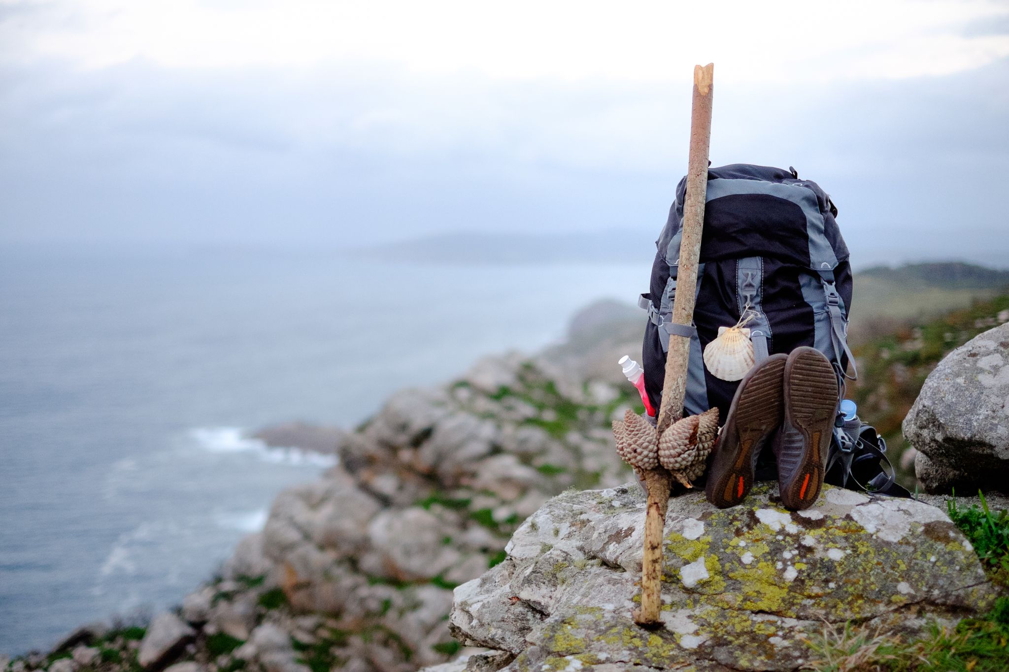
Way of St. James – 60 miles
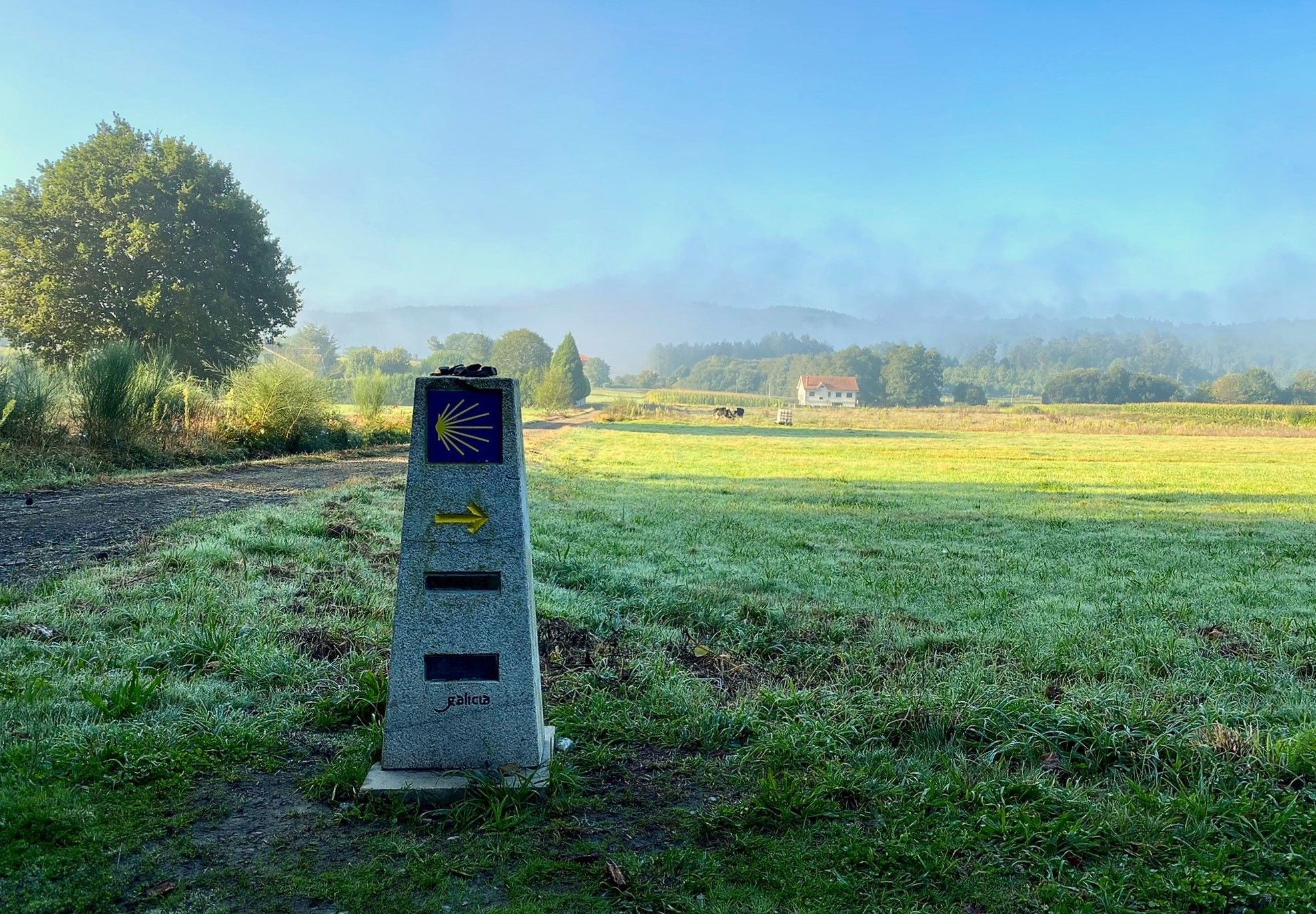
A pilgrimage on foot – Spain’s Primitive Way
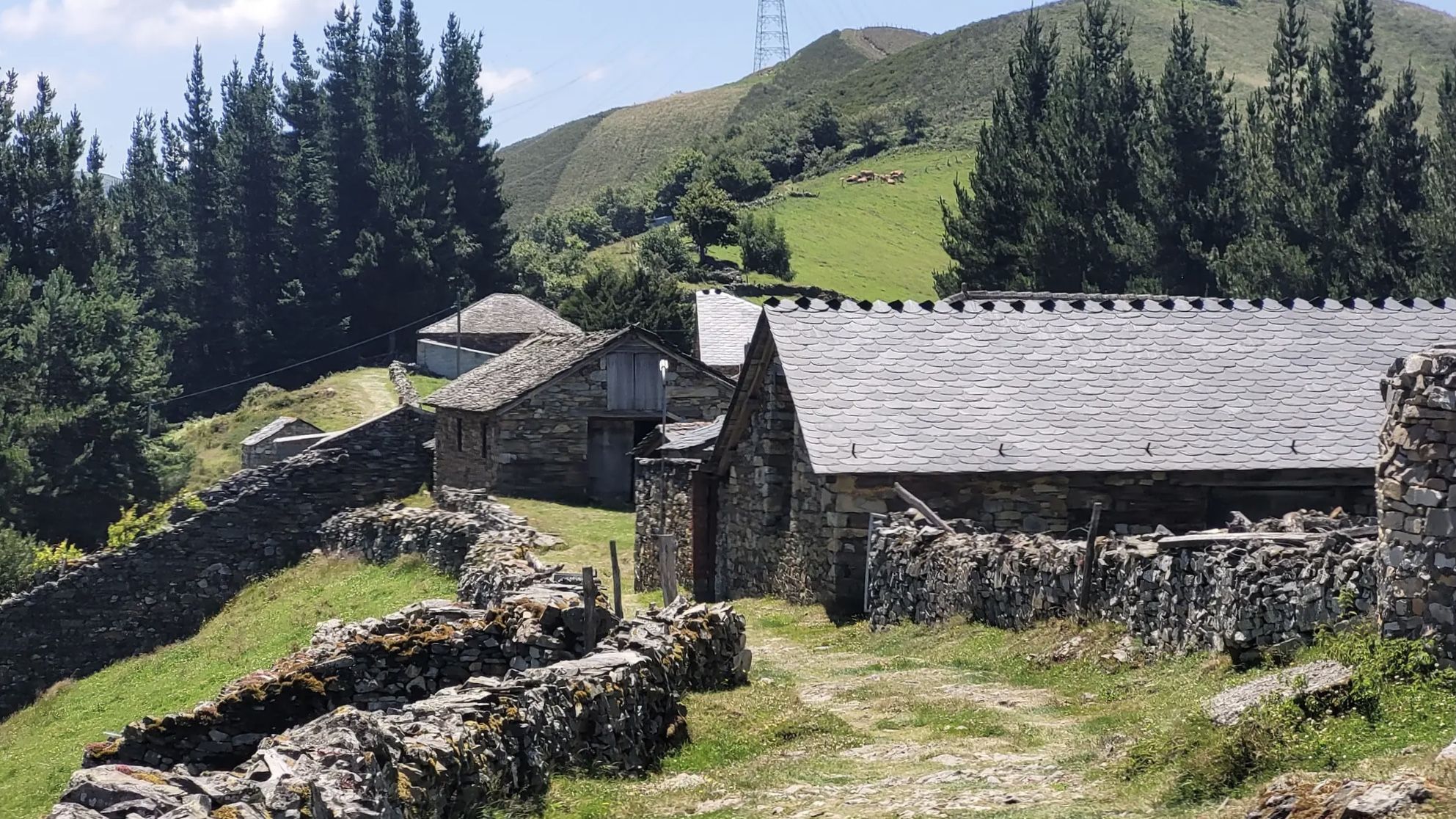
The Camino Primitivo — From Oviedo to Santiago through history
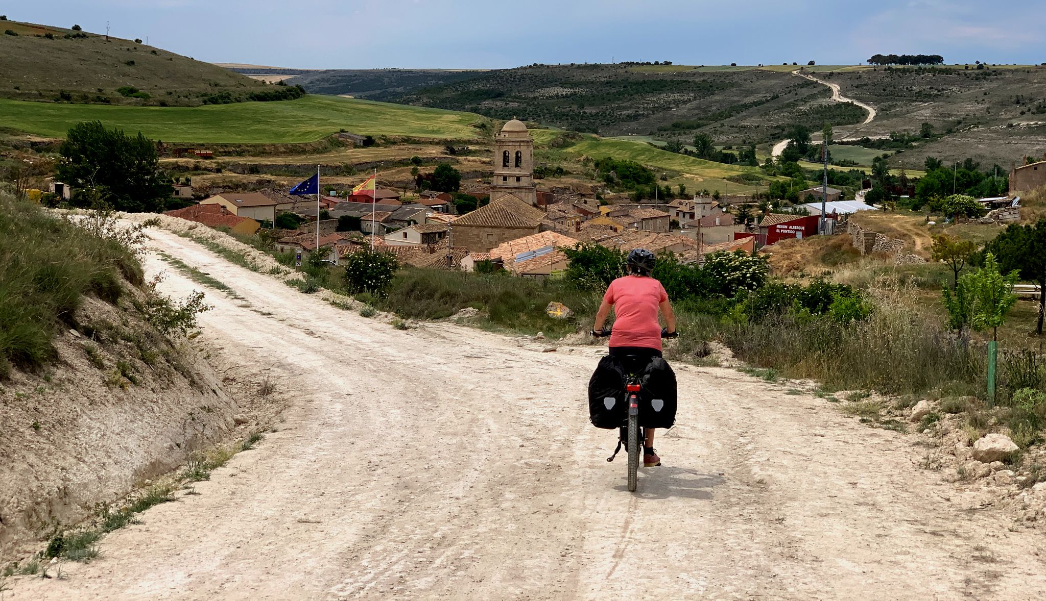
The Pilgrim Route — EuroVelo 3 through Spain
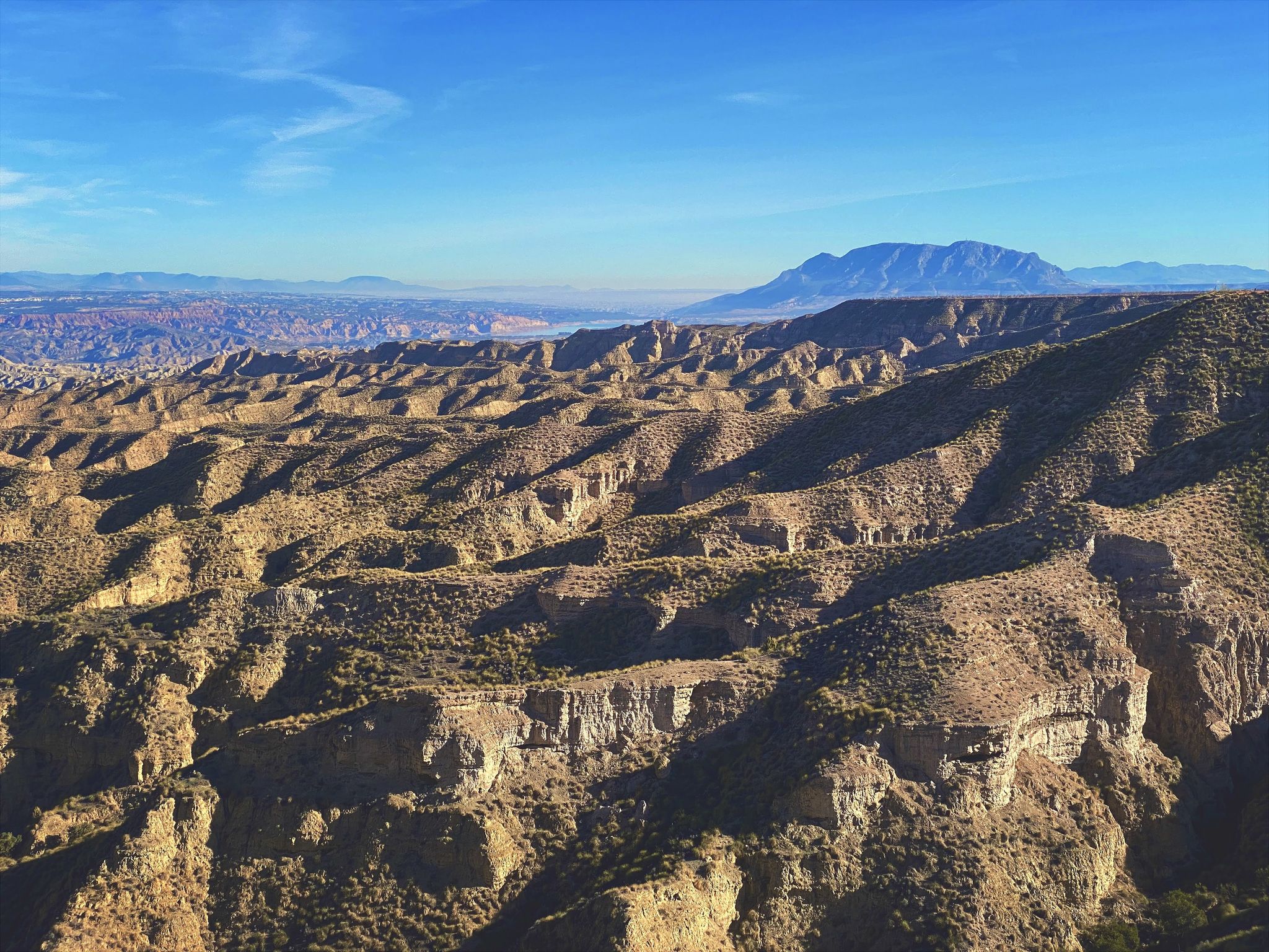
Discover Spain by gravel — a selection of must-see routes
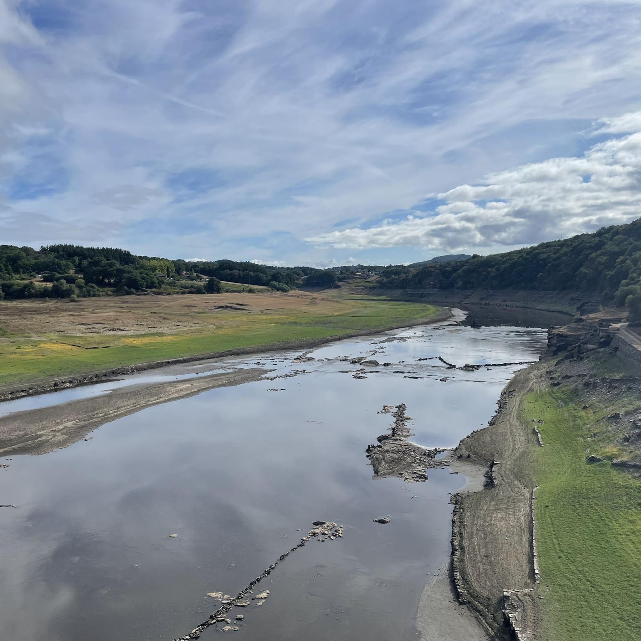
Road Cycling Routes around the Mio
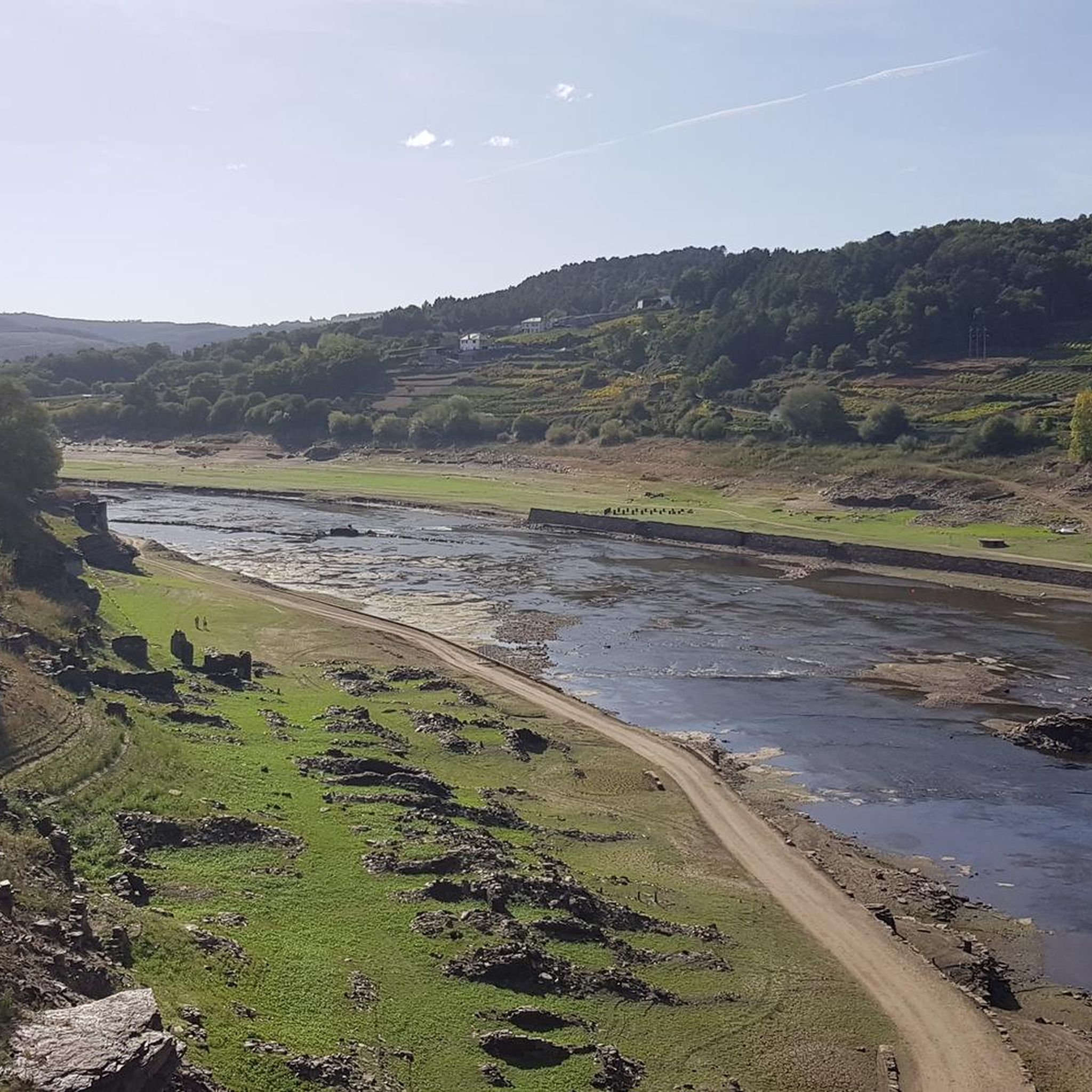
MTB Trails around the Mio
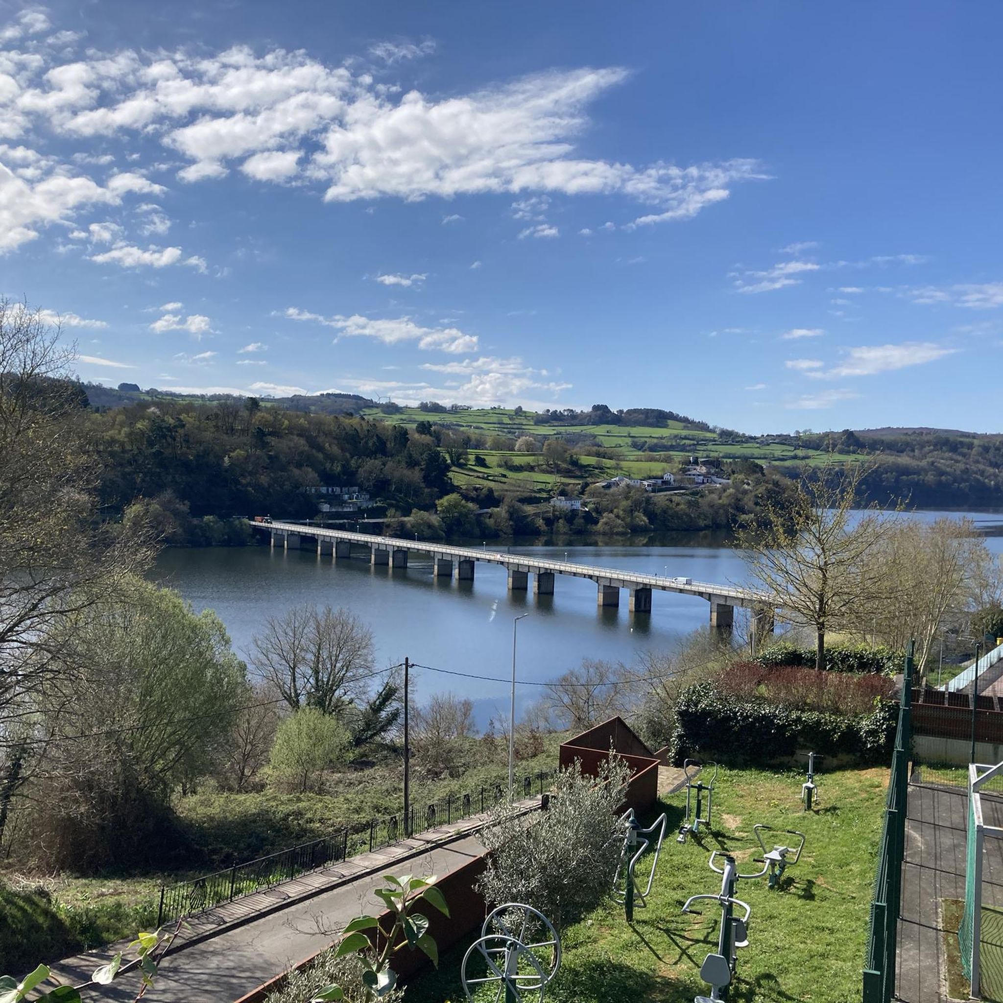
Hiking around the Mio
Cycling around the Mio
Gravel biking around the Mio
Other adventures around the Mio


Tips from the Community

Facility with masonry pools with (probably only temporarily) warm/hot water, catering and sanitary facilities, plus a rest area with several benches and tables. In the direction of the Miño river, amidst the round rocks near the bank, there is a hot spring whose water is channeled into a nicely built small pool. Further west, under the pedestrian bridge, there is an extensive complete facility with larger masonry pools with hot and cold water, sanitary facilities, sunbathing lawns and lifeguard supervision, which is freely accessible so far. From the pedestrian bridge, all (larger facility to the west; facility with pools and rest area as well as small pool in the rocks to the east) are clearly visible.
1
0

Ourense's Plaza Mayor is one of the most emblematic spaces in the historic center: It's a porticoed square with a slight incline, making it unique in Galicia. The slope is used to create a very photogenic perspective. Since the Middle Ages, it has been the city's administrative and social center. Markets, public events, and neighborhood meetings were held here. Notable buildings: City Hall: a 19th-century neoclassical building with an elegant façade and balconies. Palaces and noble houses: several properties with heraldic shields and typical Galician galleries.
2
0
Located on the banks of the Miño River, in the Outariz area, west of Ourense, right on the city's "Thermal Promenade." Parking: The Outariz/Reza parking lot (on the opposite bank) is available, as the Muiño da Veiga parking lot is closed for renovations. Public transport: City bus line 5; the unique Thermal Train, which stops at the facility.
1
0
It spans the Miño River, linking the historic center of Ourense with the A Ponte neighborhood. It was built in the 1st century AD as a branch of the Via Nova (Via XVIII), connecting Bracara Augusta (Braga) with Asturica Augusta (Astorga). Only traces of the original Roman phase remain, such as rusticated stonework at the ends near the banks. It suffered damage during the Middle Ages; in 1228, under Bishop Lorenzo and with the support of Ferdinand III, it was rebuilt with pointed arches and renovated approaches. Until the 17th century, the bridge repeatedly collapsed. The final work was directed by Melchor de Velasco Agüero around 1660, establishing its current appearance.
1
0
Fermín Rivera Street is located in the city of Lugo, within the urban center, and is part of the A Ponte - San Lázaro neighborhood, a well-connected residential area. It is close to the Miño River and the access to the Roman bridge, one of the historic entrances to the city.
3
0
The Roman Bridge of Lugo or old bridge, 104 meters long and 4 meters wide, is a bridge from the Roman era that underwent reconstruction during the 12th, 14th and 18th centuries.
4
0

A magnificent work from the outside. You have to pay to see it from the inside.
2
0
One of the few preserved city walls in Europe.
3
0
Frequently Asked Questions
How many running routes are available in the Mio area?
The Mio area offers a wide variety of running routes, with over 100 options available. These include 17 easy trails, 76 moderate trails, and 23 difficult trails, catering to all fitness levels.
What kind of terrain can I expect on jogging trails around Mio?
Jogging routes around Mio feature diverse terrain. You'll find everything from flat paths to sections with uneven ground, small hills, and sandy or rooted surfaces. Some trails, like the Mio Trail, are known for their sandy, rolling to hilly terrain with whooped sections, while others offer more consistent surfaces.
Are there any long-distance running trails in Mio?
Yes, the Mio area is home to the extensive Michigan Shore-to-Shore Riding & Hiking Trail, which passes directly through Mio. This 500-mile interconnected trail system provides countless miles for long-distance jogging or shorter, scenic runs through varied landscapes.
Can I find family-friendly jogging routes in Mio?
Absolutely. Trails like the Island Lake Nature Trail are noted for being family-friendly, offering an accessible and enjoyable experience for all ages. Many of the easier routes within the Huron National Forest are also suitable for families.
Are dogs allowed on the running trails in Mio?
Yes, many trails in the Mio area are pet-friendly, including the Island Lake Nature Trail. It's always a good idea to keep your dog on a leash and check specific trail regulations, especially within the Huron National Forest, to ensure a pleasant experience for everyone.
What natural features or landmarks can I see while jogging in Mio?
Mio is rich in natural beauty. You can jog through the expansive Huron National Forest, experience the unique pine barren landscape of the Mio Prairie, or follow trails along the picturesque Au Sable River. The Wolf Creek Trail, for instance, offers pleasant views along the river and includes an overlook.
Are there any circular running routes in the Mio area?
Yes, many of the trails in Mio are designed as loops or can be combined to create circular routes. The Wolf Creek Trail is a 4-mile loop that follows the Au Sable River, providing a great option for a circular run.
What do other runners think about the trails in Mio?
The running routes in Mio are highly rated by the komoot community, with an average score of 4.8 stars from over 16 reviews. Runners often praise the diverse natural settings, the variety of terrain, and the immersive experience within the Huron National Forest and along the Au Sable River.
Where can I find parking for jogging routes in Mio?
Many state forest campgrounds, such as Mio Pond State Forest Campground and Muskrat Lake State Forest Campground, offer direct access to trails and provide convenient parking options. Additionally, trailheads for routes like the Michigan Shore-to-Shore Trail often have designated parking areas.
Are there any challenging running routes for advanced runners in Mio?
Yes, for experienced runners seeking a challenge, Mio offers 23 difficult trails. Routes like the Mio Trail feature sandy, rolling to hilly terrain with whooped sections, and a mix of black dirt, sand, rocks, and roots, providing a demanding workout. Other advanced options include trails like Loud Creek Lazy 8 North and Leaky Hills.
What is the best time of year for jogging in Mio?
Mio offers great jogging opportunities throughout the year. Spring and fall provide pleasant temperatures and beautiful scenery with changing foliage. Summer is also popular, though some trails might be sandy. Winter jogging is possible, but runners should be prepared for snow and ice conditions.
Can I combine my run with birdwatching in Mio?
Absolutely! The Mio area is known for its rich wildlife. The Kirtland's Warbler Habitat is a notable natural feature where you might spot this rare bird while jogging, especially during nesting season. Keep an eye out for deer, eagles, and turkeys throughout the Huron National Forest.
Most popular routes around the Mio
Most popular attractions around the Mio

Get inspired with the komoot mobile app


Explore more
Browse the best Running Trails & Routes in other regions.
