The best running trails around Beaucens
4.7
(45)
3,929
runners
21
runs
Jogging routes around Beaucens traverse a mountainous landscape characterized by significant elevation changes and scenic valleys. The region features challenging trails that ascend to peaks, offering expansive views, alongside routes that explore high-altitude lakes and forest areas. Running in Beaucens often involves varied terrain, from well-defined paths to more rugged mountain trails.
Best jogging routes around Beaucens
- The most popular jogging route is Nerbiou Peak loop from Beaucens, a 13.0 miles (21.0 km) trail that takes 3 hours 42…
Last updated: July 31, 2026
206
runners
20.9km
03:44
1,510m
1,510m
Hard run. Very good fitness required. Sure-footedness, sturdy shoes and alpine experience required.
5.0
(4)
199
runners
28.4km
04:39
1,710m
1,710m
Hard run. Very good fitness required. Mostly paved surfaces. Suitable for all skill levels.

Sign up for free
80
runners
9.26km
01:10
220m
220m
Moderate run. Good fitness required. Mostly paved surfaces. Suitable for all skill levels.
5.0
(1)
32
runners
13.7km
01:40
220m
220m
Hard run. Good fitness required. Sure-footedness, sturdy shoes and alpine experience required.
49
runners
11.8km
01:41
450m
450m
Hard run. Very good fitness required. Sure-footedness, sturdy shoes and alpine experience required.
Get access to more routes and recommendations from other explorers.
Sign up for free
Already have an account?
Our route recommendations are based on thousands of hikes, rides, and runs completed by other people on komoot.
Start today with a free account
Your next adventure awaits.
Login or Signup

Tips from the Community

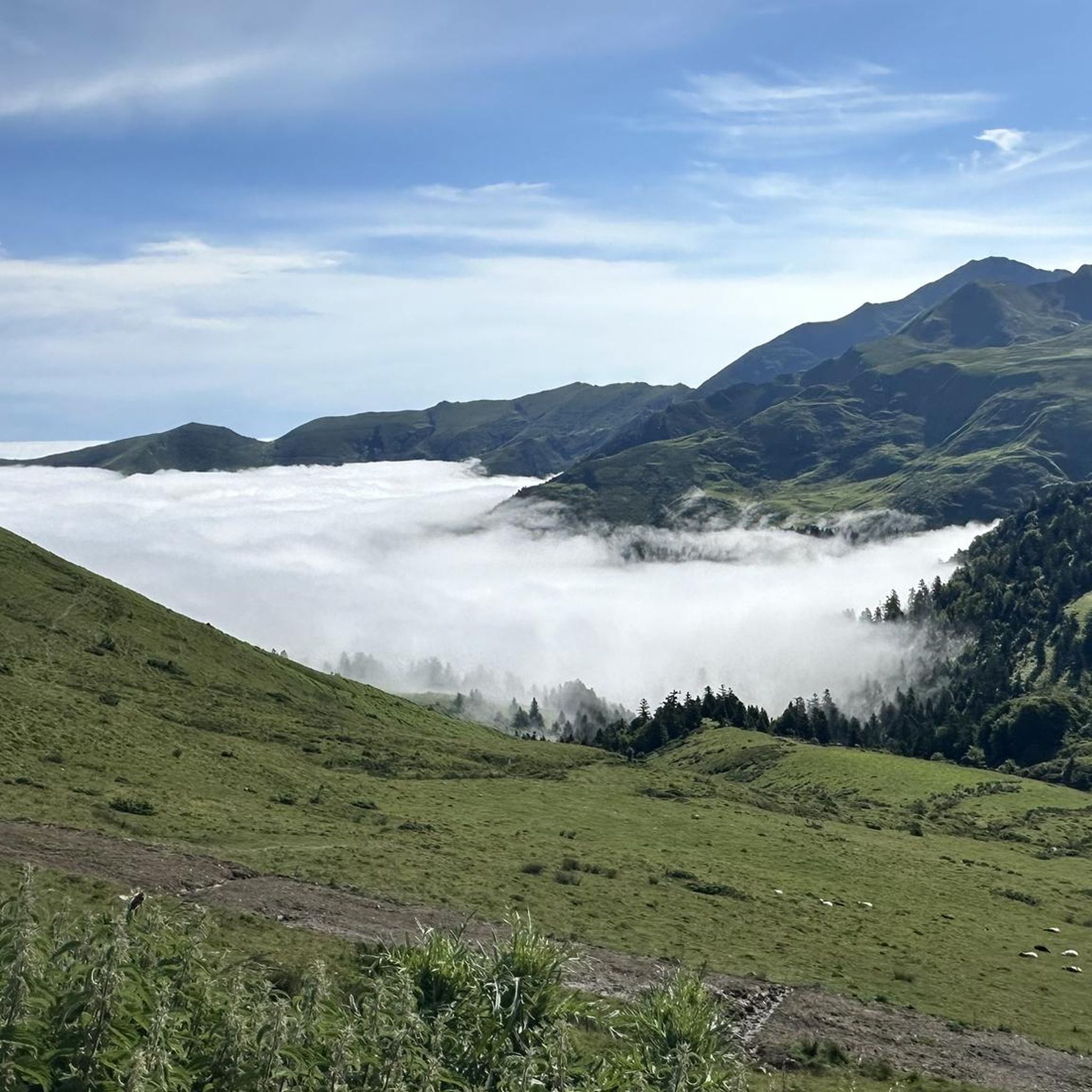
Breathtaking view of the Argelès valley.
0
0

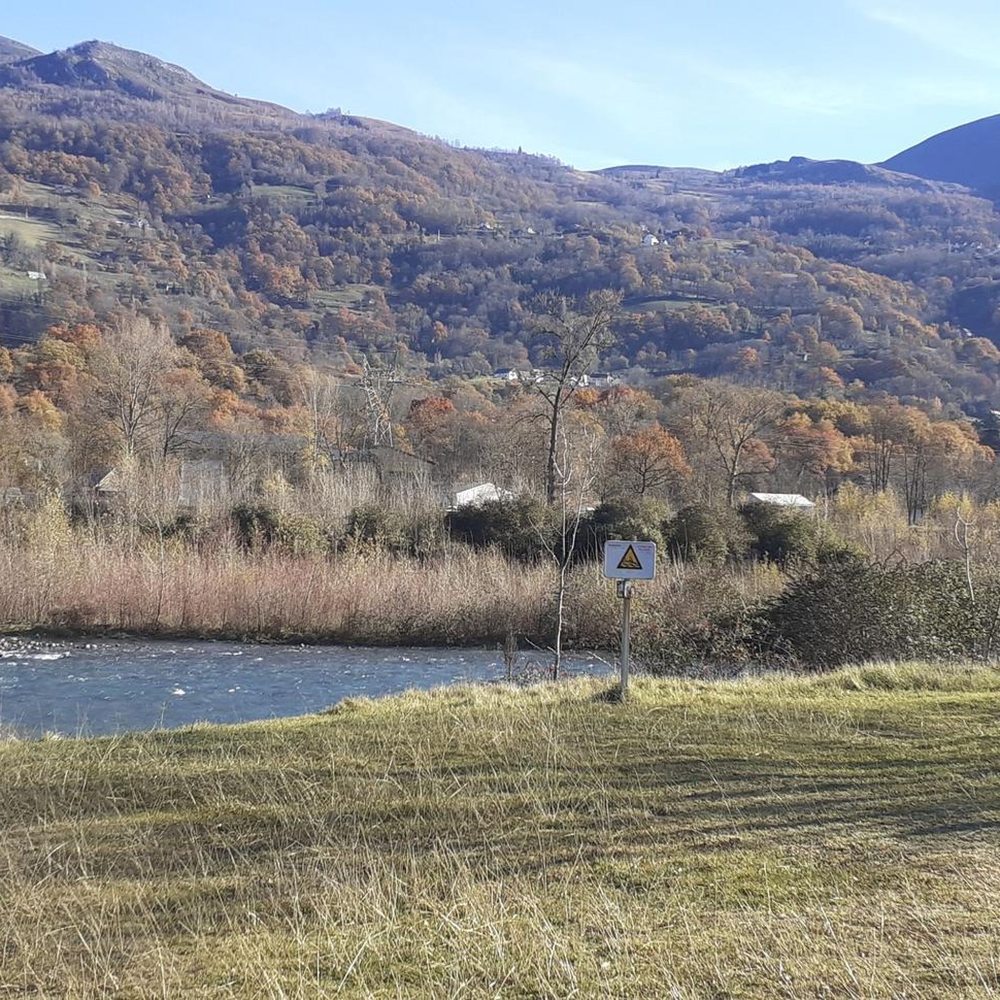
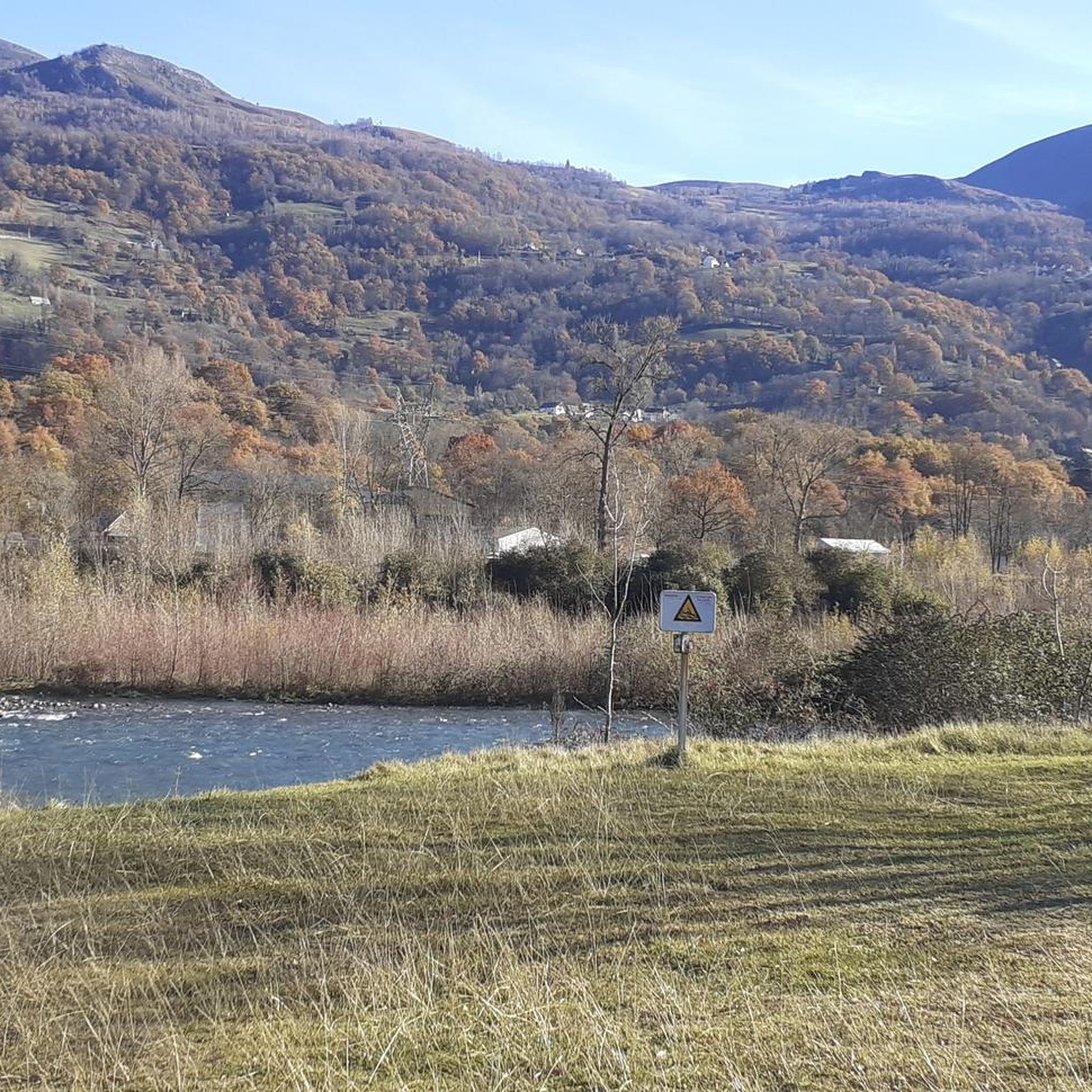
Nice bridge with a beautiful view, the river is very nice too!
0
0


Superb panoramic viewpoint over the Argelès Valley. Continue climbing to the Tramassel pass for a better view of the surrounding peaks.
0
0

Dogs allowed on a leash, lots of cattle and sheep free grazing.
1
0

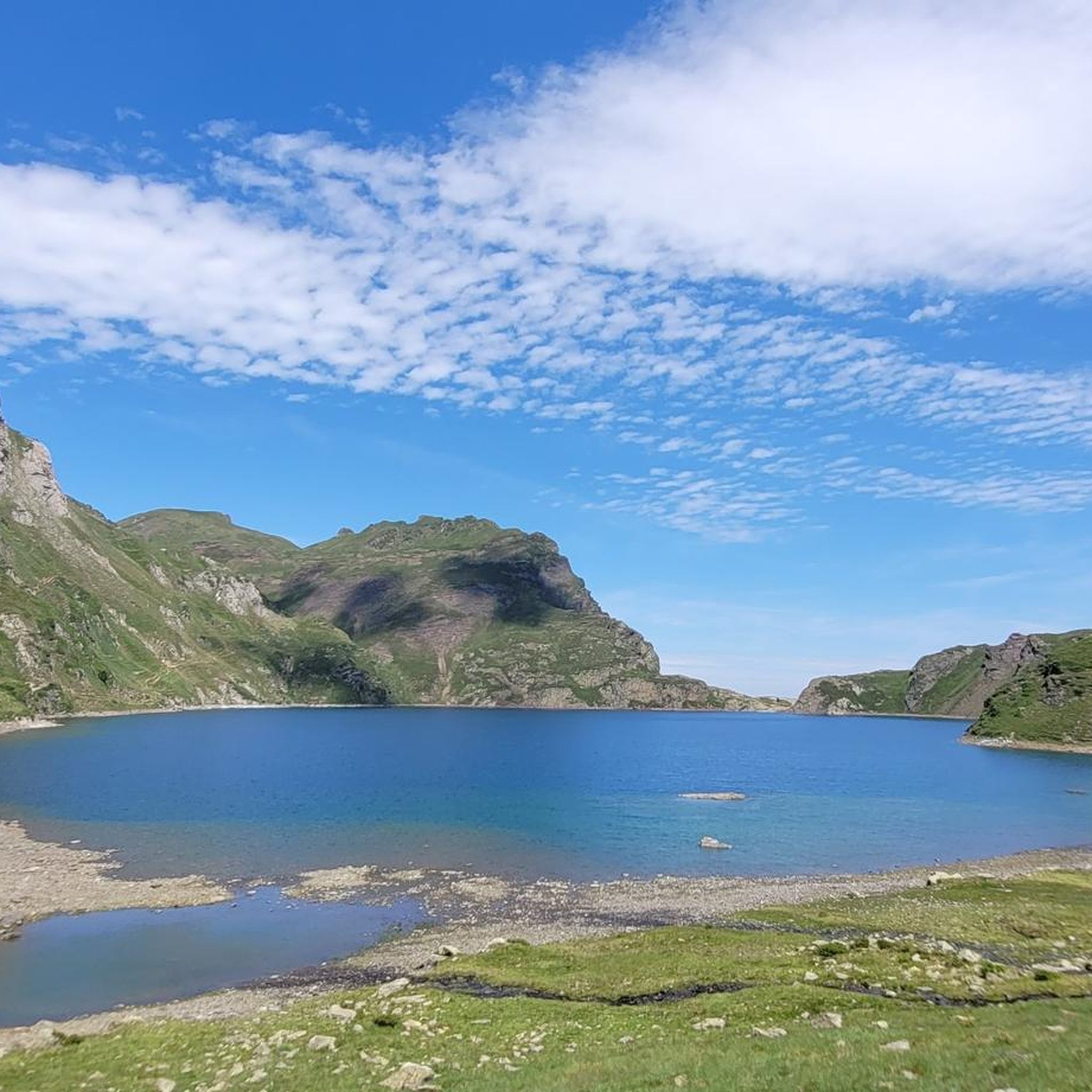
Beautiful mountain lake with a nice descent leading to it.
1
0

Frequently Asked Questions
What is the general difficulty level of running routes around Beaucens?
The running routes in Beaucens are primarily designed for experienced runners, featuring a mountainous landscape with significant elevation changes. Most of the 17 available routes are classified as difficult (12 routes), with a few moderate options (5 routes). There are no easy routes listed, so runners should be prepared for challenging terrain.
Are there any shorter or moderate running trails suitable for those looking for a less strenuous experience?
While many routes are challenging, you can find moderate options. For instance, the Hautacam circus – Lake Isaby loop from Col de Tramassel is a moderate 5.7-mile (9.3 km) trail that takes about 1 hour 10 minutes to complete. This route offers a taste of the region's beauty without the most extreme ascents.
What kind of distances and durations can I expect from the running routes in Beaucens?
Running routes in Beaucens vary significantly in length and duration. You'll find trails ranging from shorter, moderate loops like the Hautacam circus – Lake Isaby loop (5.7 miles / 9.3 km, ~1h 10m) to much longer and more demanding runs such as the Lake Ourrec – Blue Lake of Lesponne loop (18.2 miles / 29.3 km, ~4h 51m).
Are there any circular running routes available in the Beaucens area?
Yes, many of the running routes around Beaucens are circular, allowing you to start and finish at the same point. Examples include the popular Nerbiou Peak loop from Beaucens and the scenic Hautacam circus – View of Hautacam loop from Col de Tramassel.
What kind of natural attractions or viewpoints can I expect to see along the running trails?
The running routes in Beaucens offer stunning natural beauty. You can expect expansive mountain views, high-altitude lakes, and forest paths. Notable attractions include the beautiful Blue Lake of Lesponne, which is part of a challenging loop, and various peaks like Pibeste Peak and Pic du Midi de Bigorre, which offer panoramic vistas.
Is Beaucens a good destination for dog-friendly running?
Beaucens and the surrounding Pyrenees region are generally very welcoming to dogs on trails, provided they are kept under control, especially in areas with livestock or wildlife. Always ensure your dog is fit enough for the mountainous terrain and carry enough water for both of you. Check local signage for any specific restrictions in certain areas or nature reserves.
What do other runners say about their experience jogging in Beaucens?
The running routes in Beaucens are highly rated by the komoot community, with an average score of 4.5 stars from over 40 reviews. Runners often praise the challenging ascents, the rewarding panoramic views from peaks, and the serene beauty of the high-altitude lakes and forest areas.
Are there any family-friendly running options in Beaucens?
Given the predominantly difficult and moderate nature of the routes, with significant elevation changes, Beaucens is more suited for families with older children or teenagers who are experienced runners. The region's trails are not typically designed for very young children or casual family strolls. Consider the shorter, moderate routes if your family is accustomed to challenging terrain.
What is the best time of year to go running in Beaucens?
The best time for running in Beaucens is typically from late spring through early autumn (May to October). During these months, the weather is generally milder, and the trails are more accessible. Summer offers the warmest temperatures, but also more crowds. Spring and autumn provide cooler temperatures and vibrant scenery, though higher elevations may still have snow early in the season.
Can I find parking easily near the trailheads in Beaucens?
Parking availability varies by trailhead. For routes starting from popular access points like Col de Tramassel, you will generally find designated parking areas. For routes originating directly from Beaucens or smaller villages, street parking might be available, but it's always advisable to check the specific route details on komoot for parking information before you go.
Are there any cafes or places to get refreshments near the running routes?
While the routes themselves often traverse remote mountain terrain, you can typically find cafes and restaurants in Beaucens itself and in nearby villages. Some popular starting points for longer routes, like Col de Tramassel, may have seasonal refreshment options or small refuges. It's always recommended to carry sufficient water and snacks, especially for longer runs.
What are the considerations for winter running in Beaucens?
Winter running in Beaucens can be challenging due to snow, ice, and colder temperatures, especially at higher elevations. Many trails may become impassable or require specialized equipment like snowshoes or microspikes. Lower elevation routes might be runnable, but always check weather conditions, avalanche warnings, and trail status before heading out. Proper winter running gear is essential.
Most popular routes around Beaucens
Most popular attractions around Beaucens

Get inspired with the komoot mobile app


Explore more
Browse the best Running Trails & Routes in other regions.
