The best running trails in Subcarpathian Voivodeship
4.6
(647)
25,341
runners
2,471
runs
Jogging in Subcarpathian Voivodeship offers diverse natural landscapes, characterized by extensive forests, picturesque mountains, and serene river valleys. The region features the Bieszczady Mountains, known for their unspoiled wilderness and the Bieszczady National Park, providing a vast network of trails. Rolling hills in areas like the Dynów Foothills and Eastern Roztocze offer gentler running routes. The Subcarpathian Voivodeship is one of Poland's greenest provinces, with a significant portion covered by forests, ideal for shaded running paths.
Best jogging routes in…
Last updated: September 26, 2026
136
runners
Hard run. Very good fitness required. Mostly accessible paths. Some sure footedness required.
109
runners
10.9km
01:32
500m
500m
This difficult 6.8-mile (10.9 km) jogging loop in Ciśniańsko-Wetliński Landscape Park offers challenging terrain and scenic Bieszczady views

5.0
(2)
108
runners
20.4km
02:55
800m
800m
This difficult 12.7-mile jogging loop in Bieszczadzki Park Narodowy offers stunning panoramic views from Tarnica, Halicz, and Rozsypaniec.
109
runners
Hard run. Very good fitness required. Mostly paved surfaces. Suitable for all skill levels.
5.0
(1)
84
runners
10.3km
01:32
520m
520m
Hard run. Very good fitness required. Mostly accessible paths. Some sure footedness required.
5.0
(2)
68
runners
7.56km
00:50
30m
30m
Jog the 4.7-mile Red trail "Freedom is in nature" loop through Rezerwat Bór, a moderate route with 99 feet of elevation gain.
5.0
(4)
76
runners
6.42km
00:49
190m
190m
Jog the 4.0-mile (6.4 km) Nature trail Folusz loop in Magurski National Park, featuring forests, a waterfall, and rock formations.
5.0
(1)
63
runners
Hard run. Very good fitness required. Mostly paved surfaces. Suitable for all skill levels.
41
runners
Hard run. Very good fitness required. Mostly paved surfaces. Suitable for all skill levels.
33
runners
Hard run. Very good fitness required. Mostly paved surfaces. Suitable for all skill levels.
Get access to more routes and recommendations from other explorers.
Already have an account?
Our route recommendations are based on thousands of hikes, rides, and runs completed by other people on komoot.
Start today with a free account
Your next adventure awaits.
Popular around Subcarpathian Voivodeship
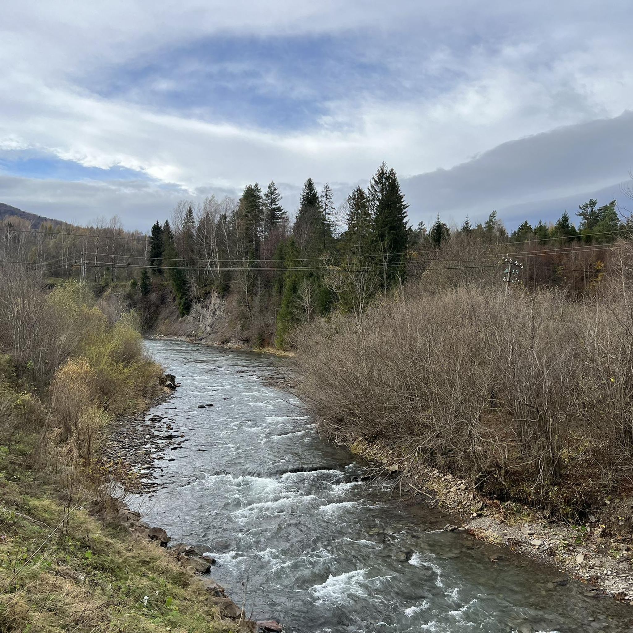
Running Trails around Lesko
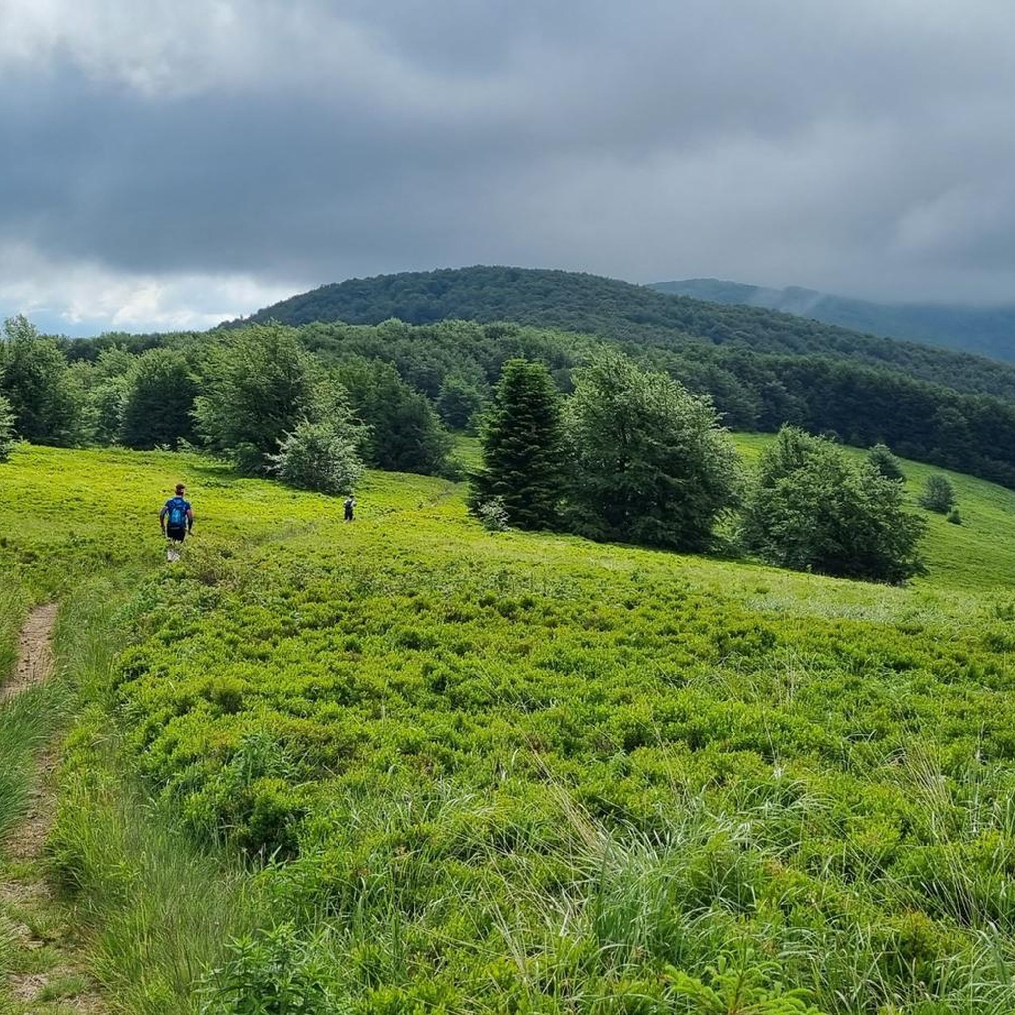
Running Trails around Bieszczady
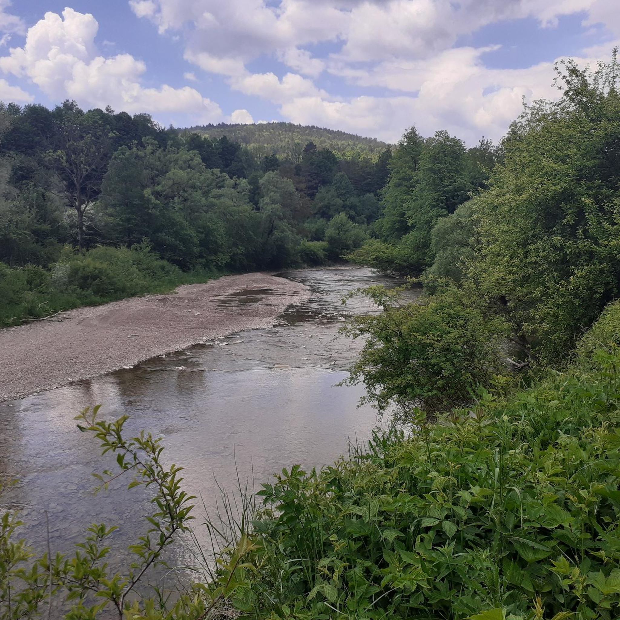
Running Trails around powiat krośnieński
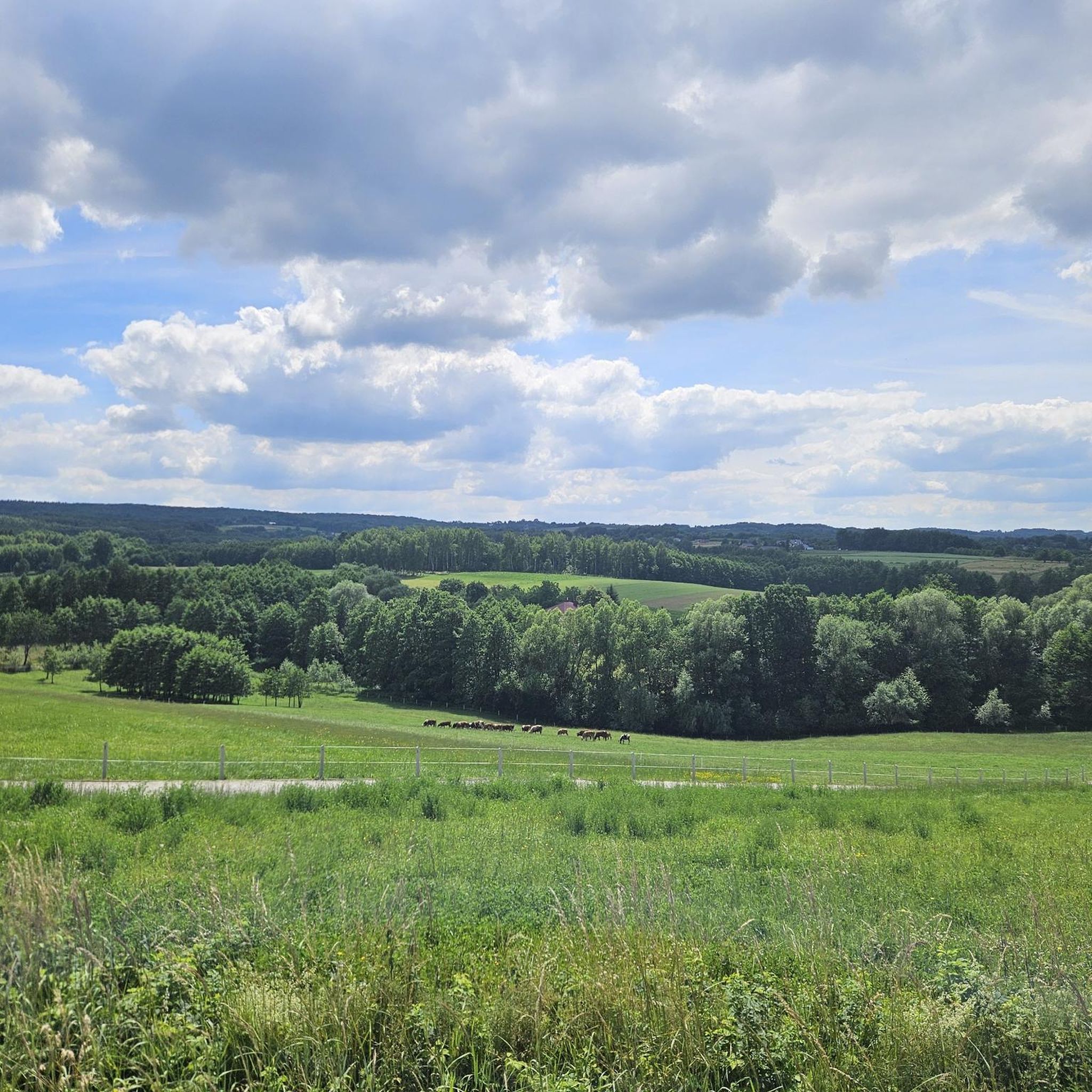
Running Trails around powiat rzeszowski
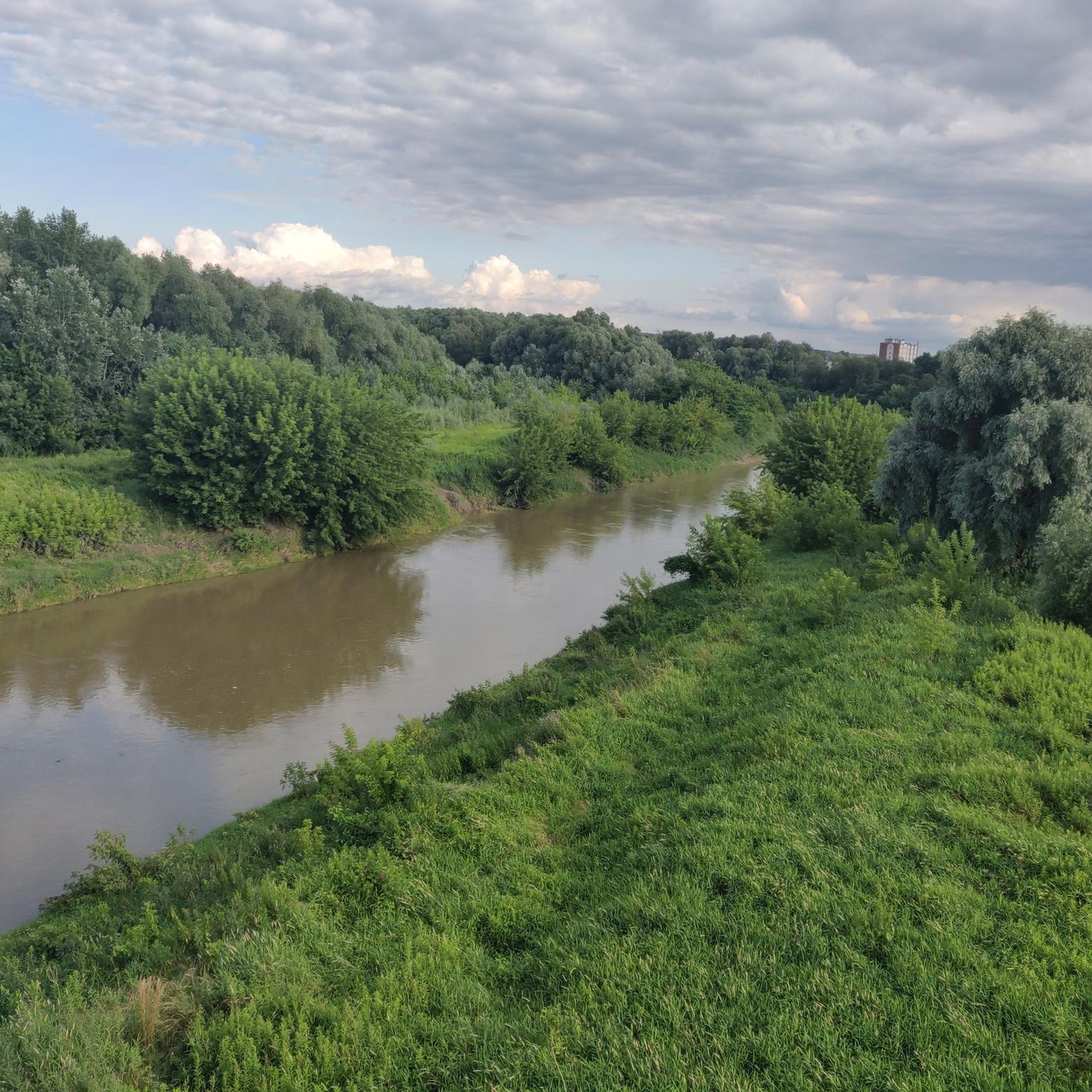
Running Trails around Rzeszów City
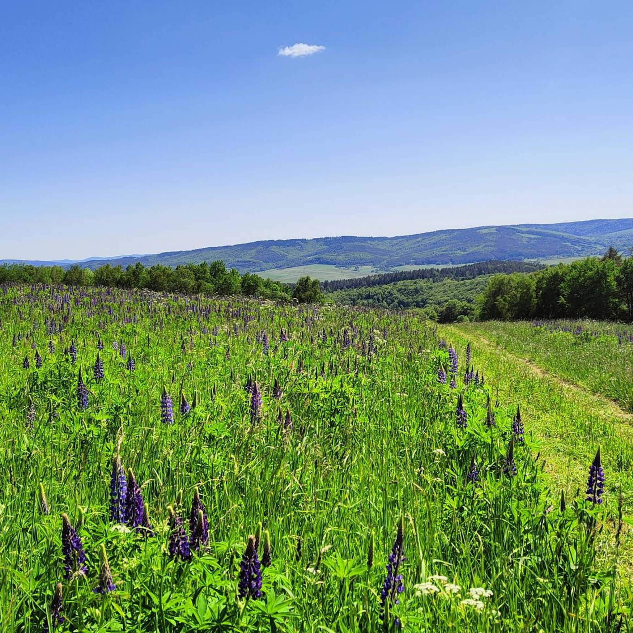
Running Trails around powiat sanocki
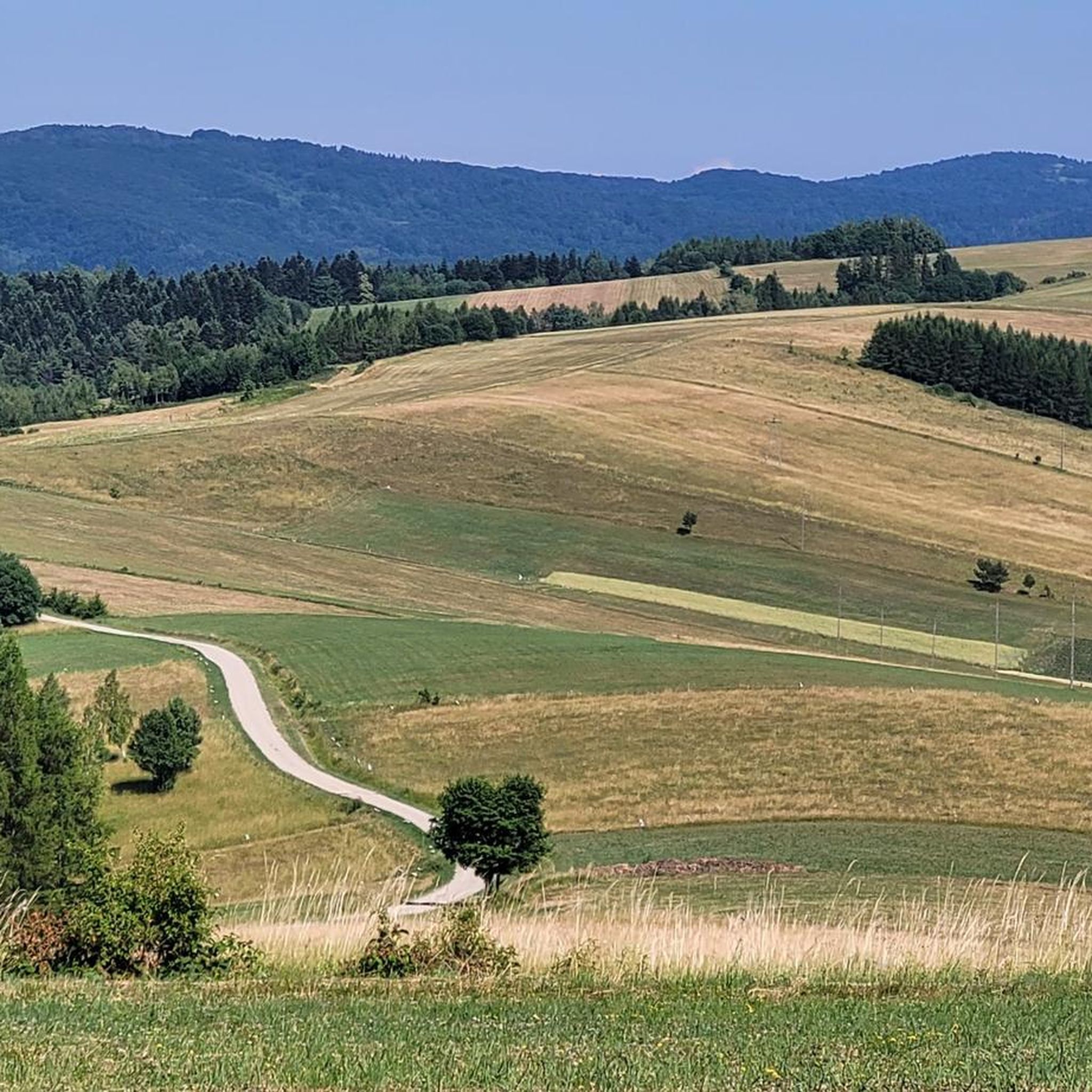
Running Trails around powiat jasielski
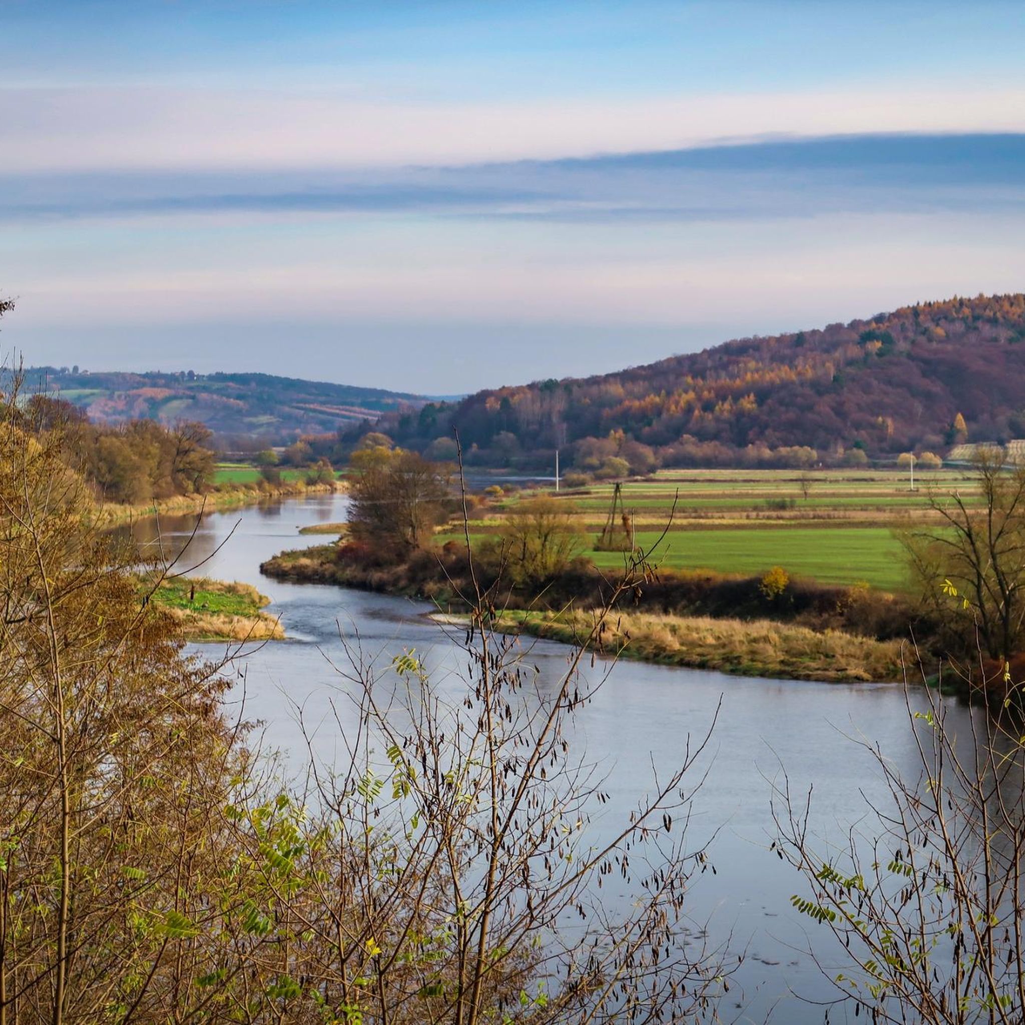
Running Trails around powiat przemyski
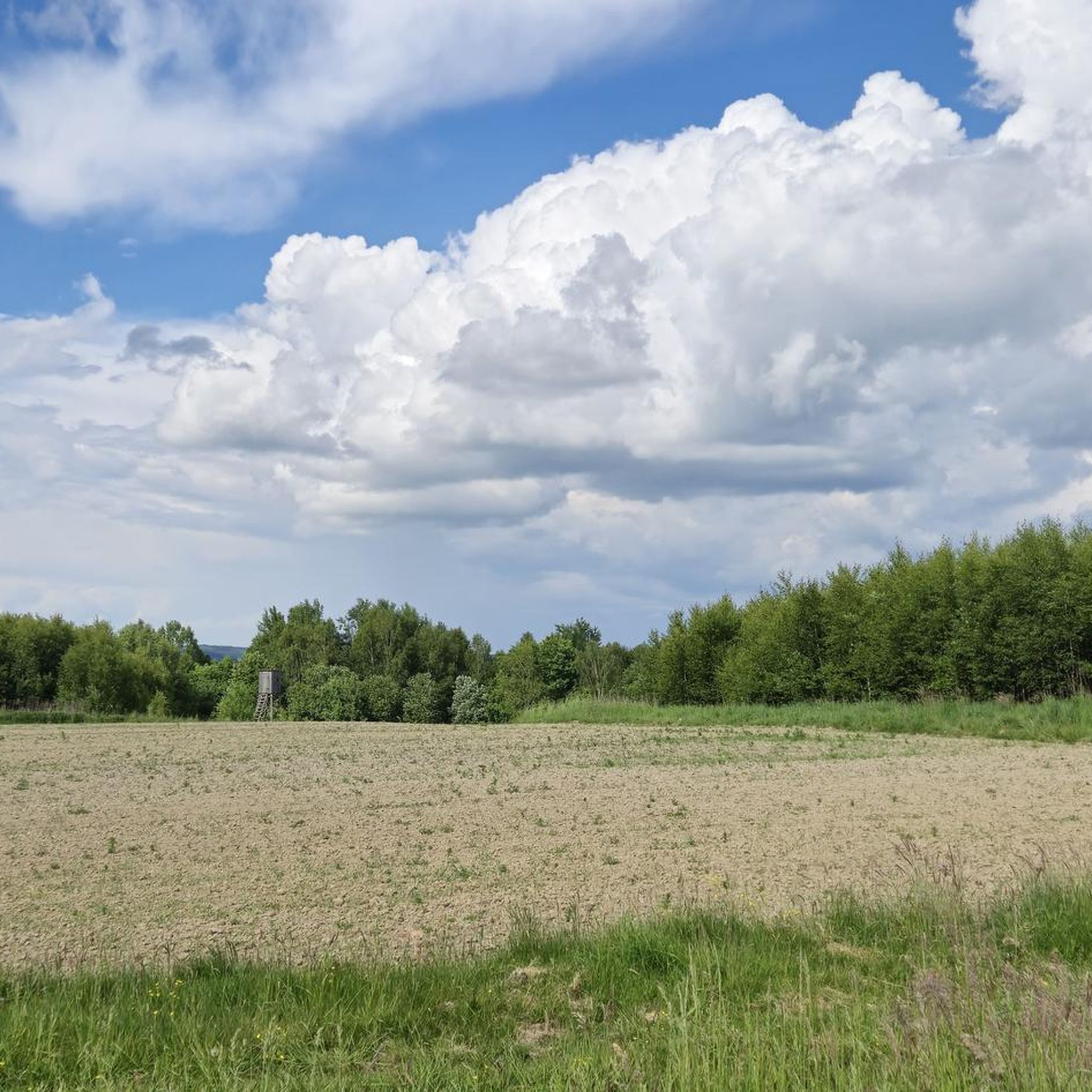
Running Trails around Strzyżów
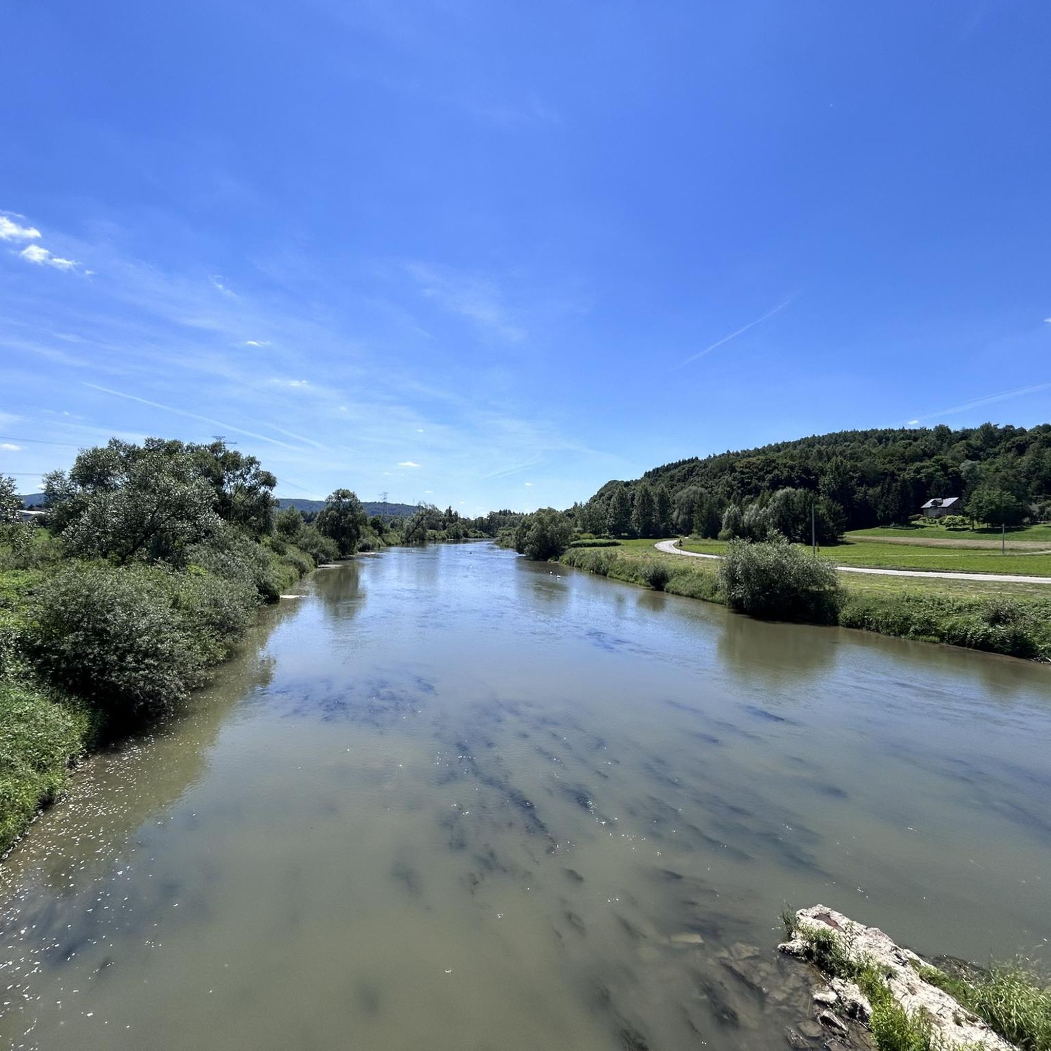
Running Trails around powiat dębicki
Other adventures in Subcarpathian Voivodeship


Tips from the Community

A climatic trail, but I hit a time of year when the waterfall was only trickling to the left. Otherwise ok.
0
0

More information: https://andrzej-banach.eu/w-gorach/bieszczadzkie-poloniny/hyrlata/ https://www.twojebieszczady.net/piesze/hyrlata.php
1
0
More information: https://www.twojebieszczady.net/piesze/koronka.php https://dzikie-bieszczady.com/5-najpiekniejszych-szlakow-w-bieszczadach/
1
0
Paportna (1198 m a.s.l.) – a peak in the Western Bieszczady Mountains, located in a side ridge of the border range. This ridge connects to the main one at Riaba Skała, located about 1200 m to the south. Northeast of the main summit is a second one, with a height of 1175 m a.s.l. Steep western and eastern slopes descend to the valleys of the Chomów and Wielki Lutowy streams, respectively. The source of the Rybnik stream lies to the north. The yellow tourist trail Wetlina Stare Sioło – Riaba Skała runs through the summit. source of information: https://pl.wikipedia.org/wiki/Paportna
1
0
More information: https://goryaktywnie.pl/rabia-skala https://andrzej-banach.eu/w-gorach/bieszczadzkie-poloniny/rabia-skala/ https://wbieszczady.pl/szlaki-sciezki-bezdroza/bieszczady-maja-szczyt-o-ktorym-malo-kto-wie-zobacz-co-na-ciebie-czeka/ObXdATtphNa3nUtsm1wB https://www.twojebieszczady.net/piesze/koronka.php https://bieszczady.land/rabia-skala-dla-prawdziwych-wedrowcow/#google_vignette
1
0
Riaba Skała (1199 m a.s.l.) – a peak in the border range of the Western Bieszczady Mountains, on the Polish-Slovak border. The name comes from the Ukrainian word рябий – motley. In the literature, the most commonly encountered distorted name is Rabia Skała, appearing on 19th-century Austrian maps. An alternative, correct form is Raba Skała. East of the main culmination, there is a lower (1169 m a.s.l.) summit (border marker 1/15). From the highest point, a side ridge of Paportna and Jawornik branches off to the north. From the section of the ridge between the two summits, a very steep, in places precipitous slope descends to the south, above which is a small metal viewing platform. From it, a view (approx. 145° angle) opens up to the south and southeast, onto the Slovak and partly Ukrainian part of the Bieszczady Mountains (up to Pikuj). The shortest route to Riaba Skała leads from the village of Wetlina (2.55 h). The southern slopes of the Riaba Skała ridge lie within the borders of the Slovak National Park "Połoniny", and their upper parts, down to approximately the 930 m contour line, are additionally covered by the Jarabá skala nature reserve. The northern slopes, up to the side arm of Paportna and Jawornik in the west, lie within the borders of the Polish Bieszczady National Park. The northwestern slopes of the higher (western) summit of Riaba Skała, between the main ridge running towards Dziurkowiec and the arm of Paportna and Jawornik, lie within the borders of the Ciśniańsko-Wetliński Landscape Park, and their upper parts are covered by the Dziurkowiec nature reserve. Among the rare plant species in Poland, Spiraea media, Veronicastrum longifolium, and Potentilla carpatica have been found. Information source: https://pl.wikipedia.org/wiki/Riaba_Ska%C5%82a
1
0

Rymanów-Zdrój is a little further northwest from here. There's a bench here from which you can enjoy the beautiful view. It's a good place to stop and grab a bite to eat, but if not, you'll always find something to feed your soul!
1
0

a route for everyone, at any time of the year
0
0
Frequently Asked Questions
How many running routes are available in Subcarpathian Voivodeship?
There are nearly 2,000 running routes recorded in Subcarpathian Voivodeship on komoot, offering a wide variety of options for all skill levels. This includes over 180 easy routes, more than 1,300 moderate trails, and nearly 500 difficult paths for experienced runners.
What kind of terrain can I expect on the running trails in Subcarpathian Voivodeship?
The region offers incredibly diverse terrain. You'll find extensive forests, picturesque mountains like the Bieszczady, rolling hills in areas such as the Dynów Foothills, and serene river valleys along the San River. Many trails are shaded by dense woodlands, providing a refreshing experience.
Are there easy running routes suitable for beginners in Subcarpathian Voivodeship?
Yes, Subcarpathian Voivodeship offers over 180 easy running routes perfect for beginners or those looking for a less strenuous jog. These trails often feature gentler slopes and well-maintained paths, allowing for a comfortable introduction to the region's natural beauty.
Can I find challenging trail runs in the Subcarpathian Voivodeship?
Absolutely. For experienced runners seeking a challenge, there are nearly 500 difficult routes. Trails like the Pętla Cisna - Małe Jasło - Roztoki Górne - Hyrlata, a 16.7-mile trail with over 1,400 meters of elevation gain, offer significant climbs and varied terrain, particularly in the Bieszczady Mountains and Magurski National Park.
What natural features or landmarks can I see while running in Subcarpathian Voivodeship?
Many running routes pass through stunning natural landscapes and near notable landmarks. You might encounter the majestic Tarnica Peak in the Bieszczady Mountains, enjoy views of Lake Solina, or run alongside the San River. The region is also home to the Bieszczady National Park and Magura National Park, offering pristine wilderness.
Are there any circular running routes in Subcarpathian Voivodeship?
Yes, many routes in the region are designed as loops, allowing you to start and finish in the same location. An example is the Cisna - Hon - Mochnaczka Loop, a challenging 6.8-mile path that offers varied terrain and scenic views.
What do other runners say about the trails in Subcarpathian Voivodeship?
The running trails in Subcarpathian Voivodeship are highly rated by the komoot community, with an average score of 4.6 stars from over 480 reviews. Runners often praise the unspoiled wilderness, the tranquility, and the diverse natural landscapes, especially the extensive forests and mountain views.
Are there running routes that pass by mountain huts or shelters?
Yes, some routes, especially in the mountainous areas, offer access to mountain huts. For instance, you might find the Pooh Mountain Hut or Bacówka Under Mała Rawka along certain trails, providing opportunities for a break or refreshment.
Can I bring my dog on the running trails in Subcarpathian Voivodeship?
While many trails in the Subcarpathian Voivodeship are generally dog-friendly, it's crucial to check specific regulations, especially within national parks like Bieszczady National Park or Magura National Park, where restrictions may apply to protect wildlife. Always keep your dog on a leash and clean up after them.
Are there running routes suitable for families with children?
Yes, the region offers numerous family-friendly running paths, particularly among the easier and moderate routes. These trails often feature gentler gradients and shorter distances, making them enjoyable for all ages. Look for routes in areas with rolling hills or along river banks for a pleasant family outing.
Are there any routes that offer panoramic viewpoints?
Many routes, especially those in the Bieszczady Mountains, provide breathtaking panoramic views. Trails leading to peaks like Tarnica offer expansive vistas of the surrounding wilderness. The Wołosate - Tarnica, Halicz and Rozsypaniec Loop is an example of a route known for its stunning scenery.
What is the best time of year for running in Subcarpathian Voivodeship?
The best time for running is generally from spring to autumn (April to October) when the weather is mild and the trails are clear. Summer offers lush green forests and warmer temperatures, while spring and autumn provide vibrant colors and fewer crowds. Winter running is possible, but some trails may be covered in snow and ice, requiring appropriate gear.
Most popular routes in Subcarpathian Voivodeship
Most popular attractions in Subcarpathian Voivodeship

Get inspired with the komoot mobile app


Didn’t find what you were looking for?
Check out more Running Trails & Routes throughout Subcarpathian Voivodeship below and find the perfect route in your destination.
Explore more
Browse the best Running Trails & Routes in other regions.
