The best walks and hikes around Lagrange
4.6
(72)
375
hikers
46
hikes
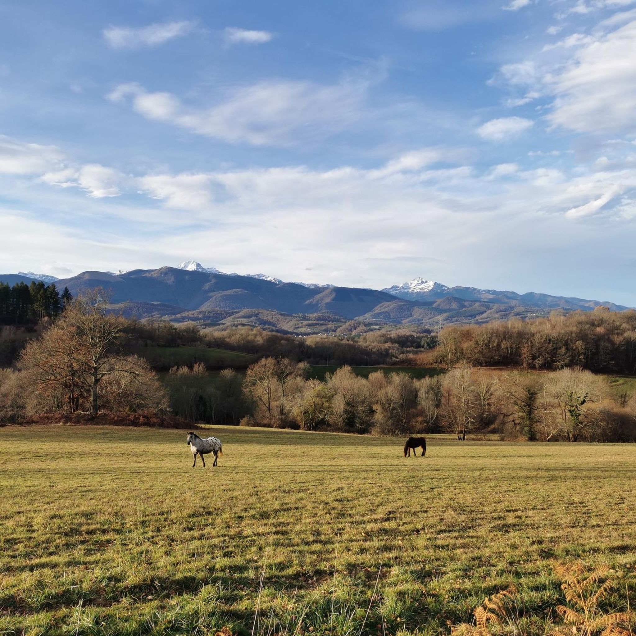
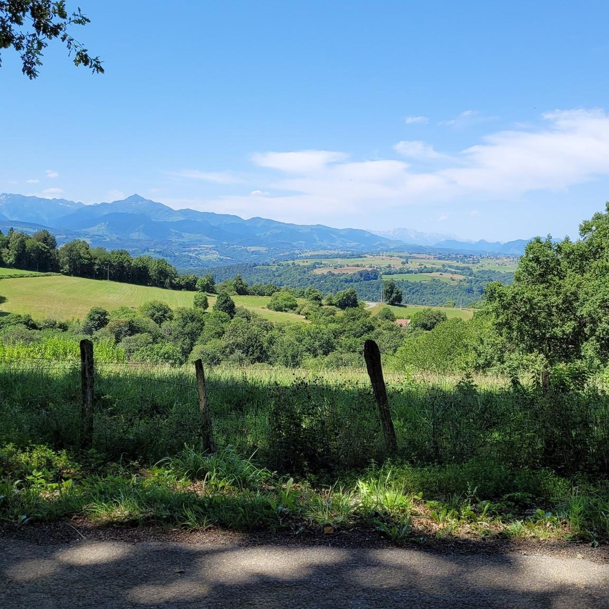
Hiking around Lagrange, Georgia, offers access to a landscape characterized by gently rolling hills and extensive forested areas. The region features numerous streams and small rivers, contributing to diverse ecosystems suitable for outdoor exploration. Hikers can expect trails that traverse woodlands and open spaces, with some routes providing views over the local terrain.
Best hiking trails around Lagrange
- The most popular hiking route is Tumulus La Croix-La Botte loop from Capvern, a 9.8 miles (15.8 km) trail that takes…
Last updated: October 7, 2026
5.0
(1)
6
hikers
13.7km
03:57
350m
350m
Moderate hike. Good fitness required. Easily-accessible paths. Suitable for all skill levels.
4.0
(3)
10
hikers
3.44km
00:53
20m
20m
Easy hike. Great for any fitness level. Easily-accessible paths. Suitable for all skill levels.

5.0
(1)
18
hikers
15.8km
04:20
240m
240m
Moderate hike. Good fitness required. Easily-accessible paths. Suitable for all skill levels.
5.0
(4)
7
hikers
7.47km
02:17
240m
240m
Moderate hike. Good fitness required. Mostly accessible paths. Sure-footedness required.
5.0
(2)
4
hikers
3.74km
00:58
20m
20m
Easy hike. Great for any fitness level. Easily-accessible paths. Suitable for all skill levels.
Get access to more routes and recommendations from other explorers.
Already have an account?
Our route recommendations are based on thousands of hikes, rides, and runs completed by other people on komoot.
Start today with a free account
Your next adventure awaits.



Tips from the Community

Mauvezin castle dominates the entire Toulouse-Bayonne road from its crenellated keep. The inner courtyard is a perfect example of medieval military architecture, in which replicas of war machines are exhibited. You can visit the castle during your hike!
2
1

Built on a rocky outcrop, this fortress built from the 12th century, was completed at the end of the 14th by Gaston Febus.
1
0
Frequently Asked Questions
How many hiking trails are available around Lagrange?
There are over 40 hiking trails around Lagrange, offering a variety of options for different skill levels. This includes 15 easy routes and 28 moderate paths, ensuring there's something for everyone.
Are there easy hiking trails suitable for families in Lagrange?
Yes, Lagrange offers 15 easy hiking trails perfect for families. A great option is the Panoramic view loop from Benqué-Molère, which is an easy 2-mile (3.2 km) path with minimal elevation gain, suitable for a relaxed outing.
Are dogs allowed on the hiking trails in Lagrange?
While specific regulations can vary by trail, many outdoor areas in Lagrange are dog-friendly, especially if your dog is kept on a leash. It's always a good idea to check local signage or specific trail guidelines before heading out with your furry friend.
What kind of views can I expect on hikes around Lagrange?
Hikes around Lagrange often feature views over gently rolling hills and extensive forested areas. Trails like the Panoramic view loop from Capvern are specifically known for their scenic overlooks, providing glimpses of the local terrain and woodlands.
Are there any circular hiking routes in Lagrange?
Many of the trails in Lagrange are circular routes, offering convenient starting and ending points. For example, the popular Mauvezin Castle – Mauvezin Castle loop from Péré is an 8.3-mile (13.3 km) moderate loop that takes you through forested areas and open countryside.
What are the typical lengths and durations of hikes in Lagrange?
Hiking trails in Lagrange vary in length and duration. You can find shorter paths like the Panoramic view loop from Benqué-Molère, which is about 2 miles (3.2 km) and takes around 50 minutes. Longer, moderate routes like the Tumulus La Croix-La Botte loop from Capvern extend to nearly 10 miles (15.8 km) and can take over 4 hours.
What attractions can I see near the hiking trails in Lagrange?
Around Lagrange, you can explore several interesting sites. The historic Mauvezin Castle is a notable landmark, and the Abbaye de l'Escaladieu offers a glimpse into the region's religious heritage. These attractions can be combined with your hiking plans for a richer experience.
What is the best time of year to go hiking in Lagrange?
Lagrange offers pleasant hiking conditions for much of the year. Spring and fall provide comfortable temperatures and beautiful scenery with blooming wildflowers or vibrant autumn leaves. Summer can be warm, so early morning or late afternoon hikes are recommended. Winter hiking is also possible, with milder temperatures compared to more northern regions.
Are there any wheelchair-accessible trails in Lagrange?
While many trails in Lagrange feature natural terrain with elevation changes, some parks or urban greenways might offer paved or compacted gravel paths suitable for wheelchairs. It's best to check specific park websites or local accessibility guides for detailed information on accessible routes.
What do other hikers enjoy most about the trails in Lagrange?
The hiking trails in Lagrange are highly rated by the komoot community, with an average score of 4.6 stars from over 60 reviews. Hikers often praise the diverse ecosystems, the mix of woodlands and open spaces, and the well-maintained paths that cater to various ability levels.
Are there options for public transport or parking near the trailheads?
While specific public transport options directly to trailheads may be limited in some rural areas around Lagrange, most trailheads are accessible by car. Parking is generally available at popular starting points, but it's always advisable to check the specific route details on komoot for parking information before your trip.
Most popular attractions around Lagrange

Get inspired with the komoot mobile app


Explore more
Browse the best Hikes in other regions.
