The best mountain hikes in the Jotunheimen Mountains
4.9
(131)
692
hikers
82
hikes
Mountaineering in the Jotunheimen Mountains offers access to Norway's highest peaks, including Galdhøpiggen at 2,469 meters, and a landscape sculpted by glaciers into dramatic deep valleys and jagged summits. The region is characterized by hard gabbro rock, extensive glaciers, and numerous crystal-clear lakes like Gjende and Bessvatnet. These arctic-alpine ecosystems provide varied terrain for exploration, from challenging alpine climbs to high-altitude traverses.
Best mountaineering routes in the Jotunheimen Mountains
- The most popular mountaineering route is View of Edlandsvatnet – Preikestolen…
Last updated: October 2, 2026
4.7
(18)
72
hikers
6.04km
02:51
400m
400m
Hard mountaineering route. Good fitness required. Sure-footedness, sturdy shoes and alpine experience required.
4.8
(12)
58
hikers
8.44km
03:57
600m
600m
Moderate mountaineering route. Good fitness required. Mostly accessible paths. Sure-footedness required.

4.9
(9)
37
hikers
10.8km
04:40
620m
620m
Moderate mountaineering route. Good fitness required. Mostly accessible paths. Sure-footedness required.
4.3
(3)
24
hikers
9.73km
04:53
1,130m
1,130m
Hard mountaineering route. Very good fitness required. Easily-accessible paths. Suitable for all skill levels.
5.0
(3)
23
hikers
8.12km
05:07
970m
970m
Hard mountaineering route. Very good fitness required. Mostly accessible paths. Sure-footedness required.
4.5
(4)
34
hikers
18.2km
06:14
630m
630m
Hard mountaineering route. Very good fitness required. Sure-footedness, sturdy shoes and alpine experience required.
5.0
(3)
9
hikers
7.60km
04:35
830m
830m
Hard mountaineering route. Good fitness required. Sure-footedness, sturdy shoes and alpine experience required.
5.0
(4)
22
hikers
6.57km
03:26
540m
540m
Moderate mountaineering route. Good fitness required. Mostly accessible paths. Sure-footedness required.
5.0
(3)
16
hikers
10.9km
05:35
740m
740m
Hard mountaineering route. Very good fitness required. Sure-footedness, sturdy shoes and alpine experience required.
5.0
(3)
17
hikers
15.1km
05:20
670m
670m
Hard mountaineering route. Very good fitness required. Mostly accessible paths. Sure-footedness required.
Get access to more routes and recommendations from other explorers.
Already have an account?
Our route recommendations are based on thousands of hikes, rides, and runs completed by other people on komoot.
Start today with a free account
Your next adventure awaits.
Popular around Jotunheimen Mountains
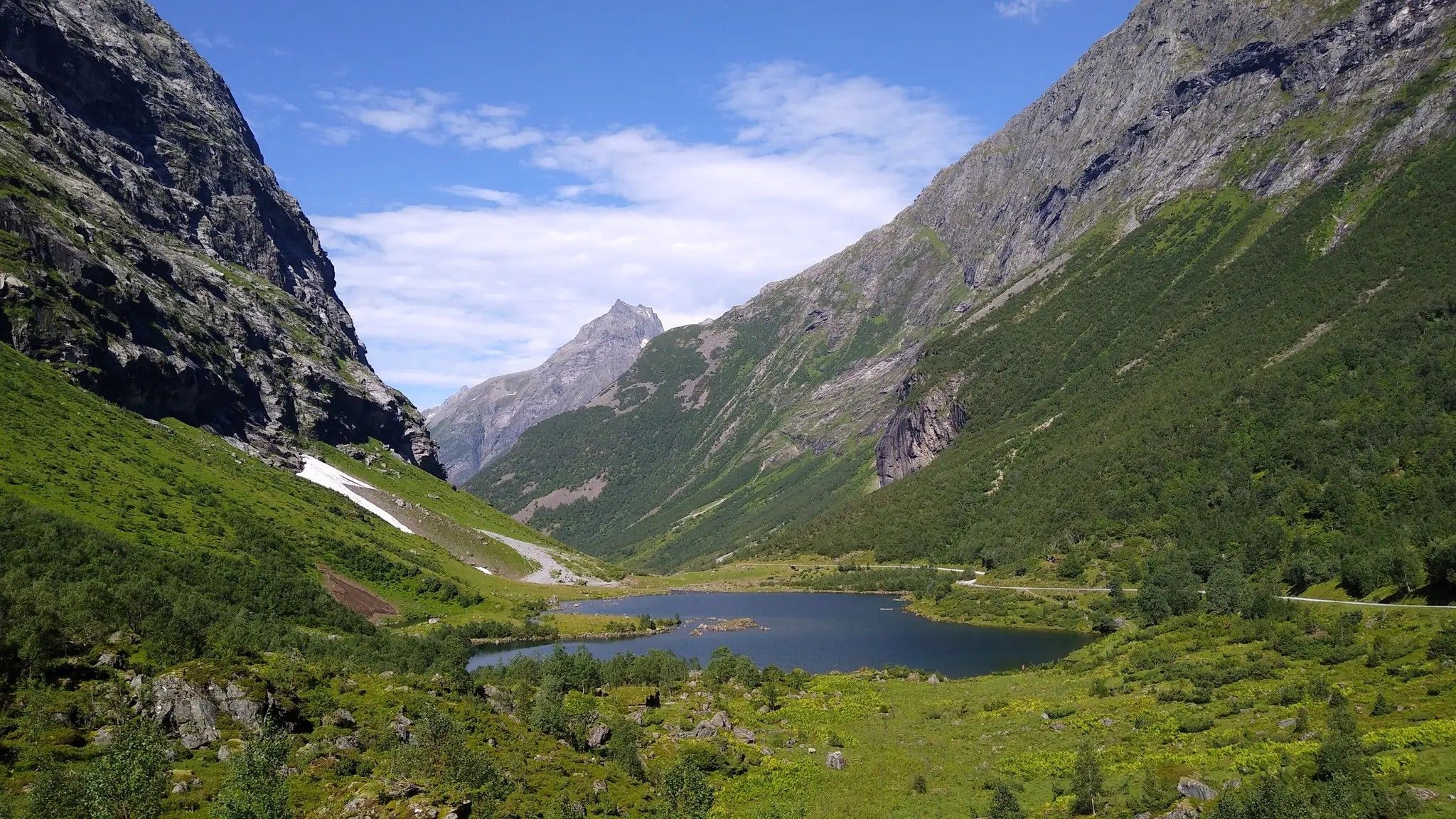
Hjørundfjorden Rundt — exploring the ancient Sunnmøre Alps
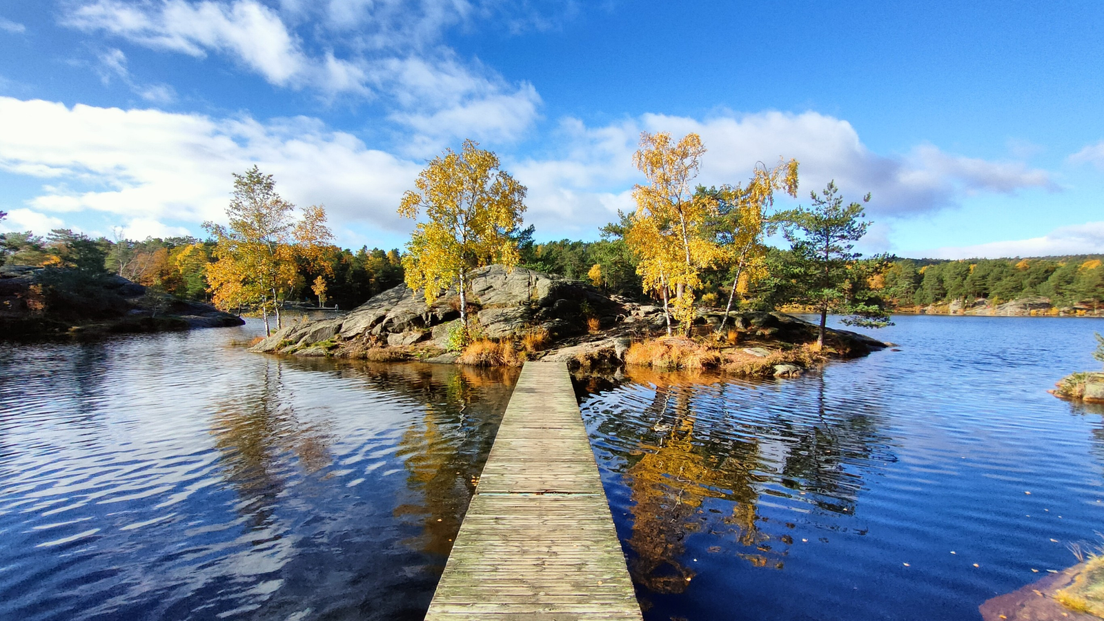
The Child Wanderer Path – Kvinesdal to Landvik
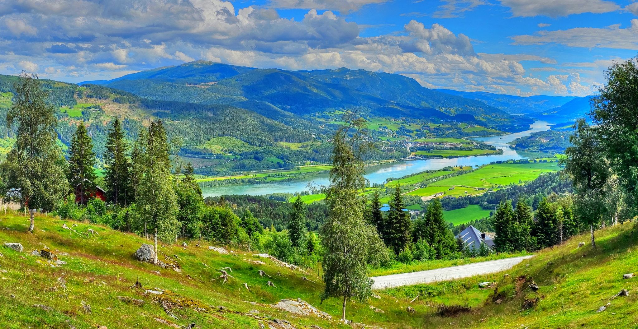
Pilgrim Route – An epic journey across Norway
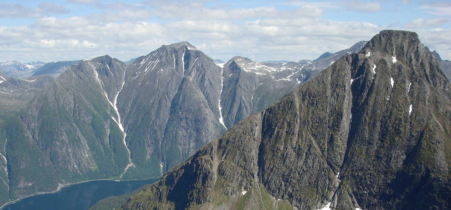
SignaTUR Romsdalstien – From the fjord to majestic mountains
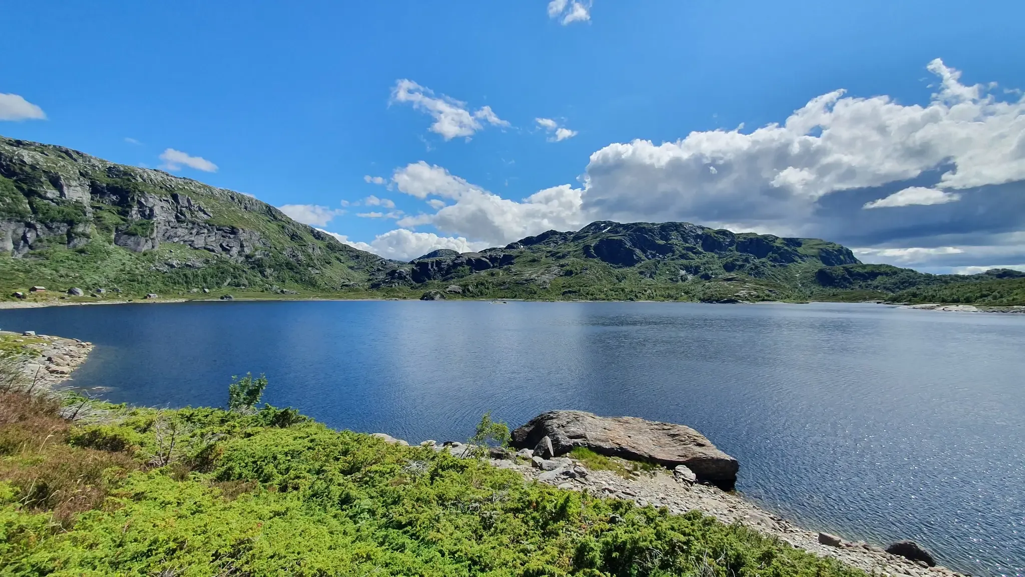
SignaTUR Gullruta i Etnefjellene – Trekking Norway's Golden Route
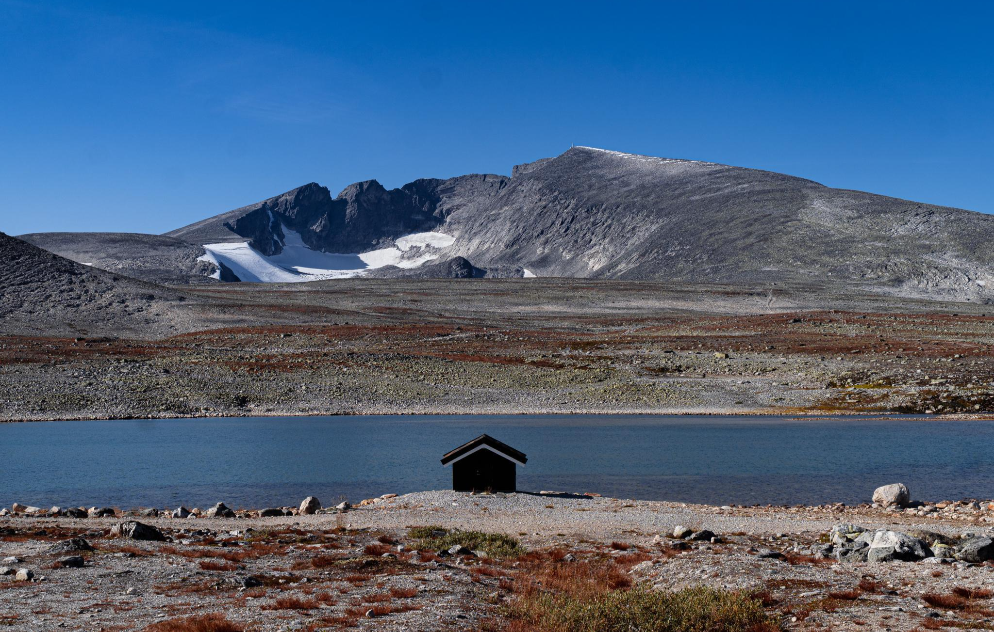
SignaTUR SAGA – Reindeer, wild trails and mighty peaks
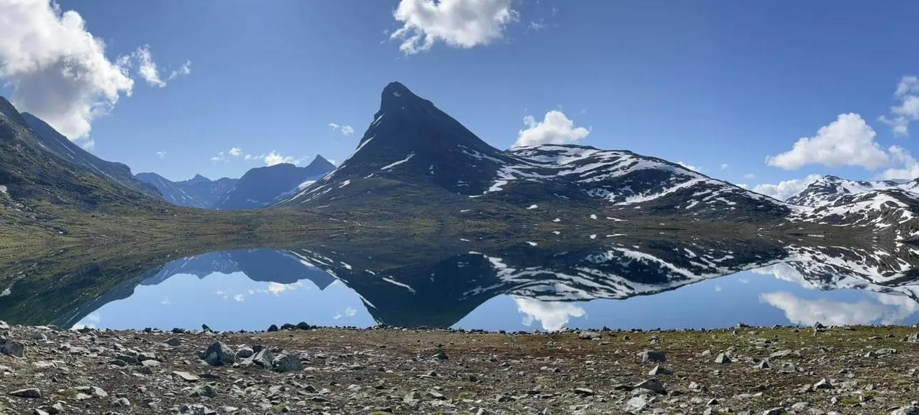
SignaTUR Omveien – Vast wilds, epic peaks and deep valleys
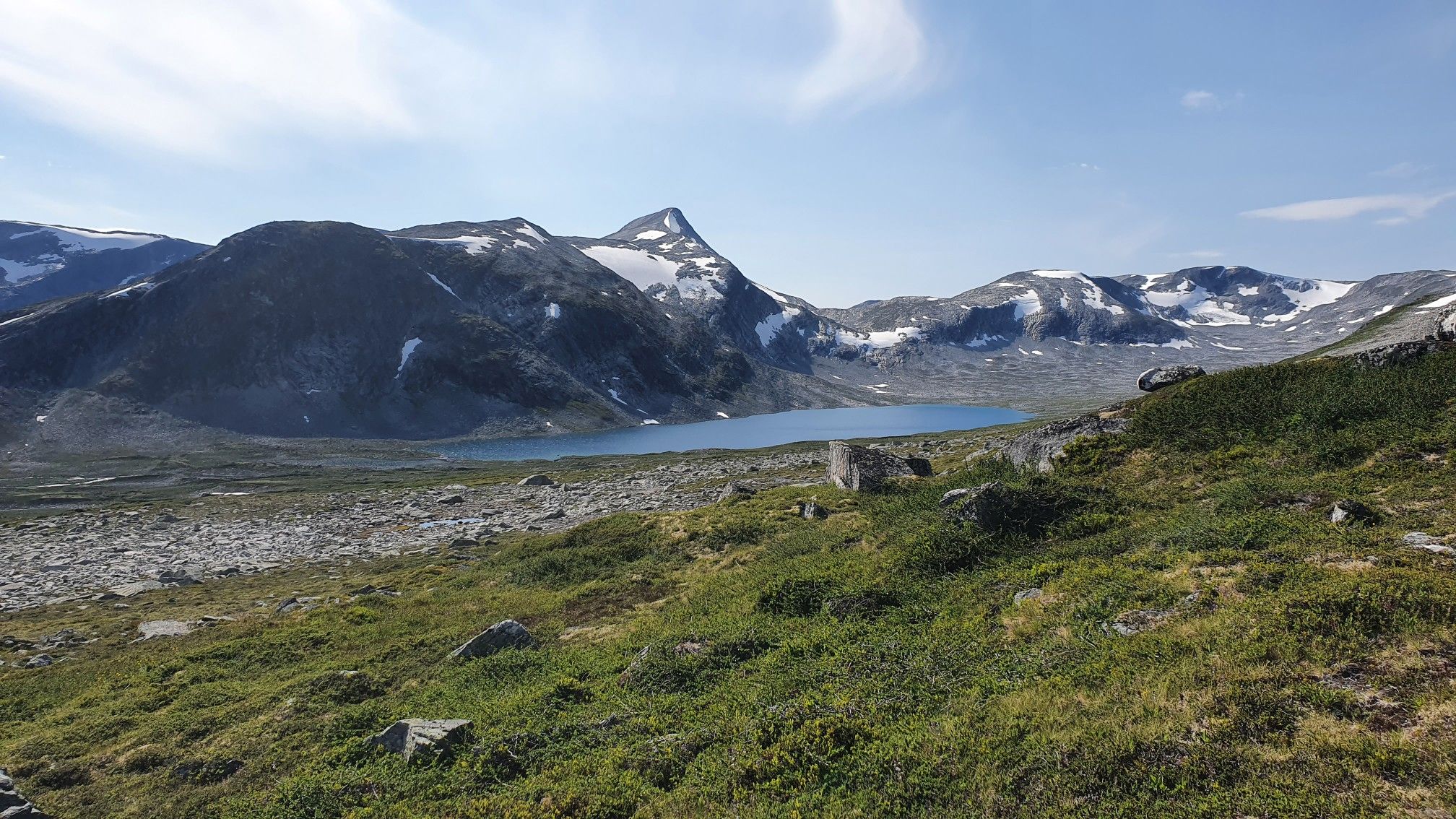
SignaTUR i Tafjordfjella – Into Møre og Romsdal's mountainous wilds
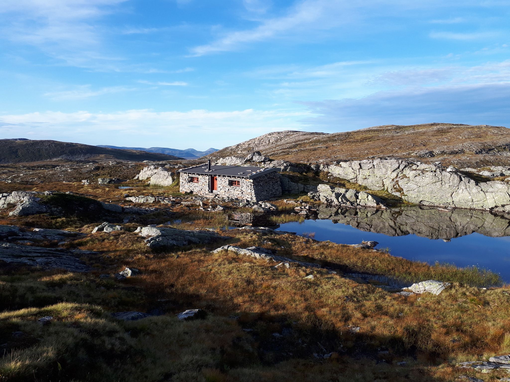
SignaTUR Fjordruta – Where sky, sea, fjords and mountains meet
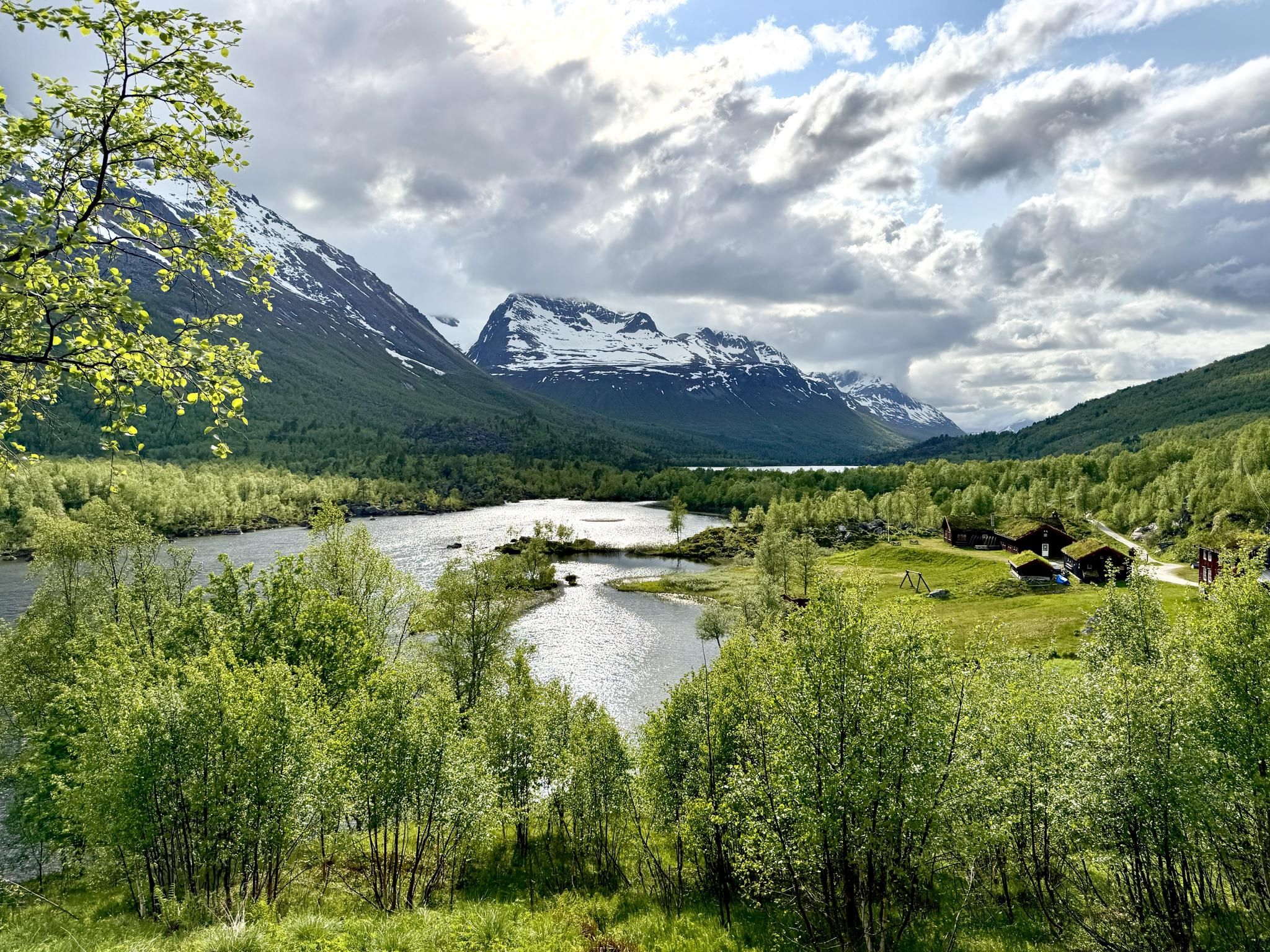
SignaTUR Trollheimen – Discover the mountainous 'home of the trolls'
Other adventures in the Jotunheimen Mountains


Tips from the Community

At Preikestolen Basecamp, you'll find everything you might need before or after your hike: restrooms, a café, and shops right on site. In the shop, you can find souvenirs and typical tourist items, as well as hiking gear. If you don't have suitable shoes, you can even rent hiking boots. Right on the fjord, just below the Basecamp, there's also the opportunity to explore the surroundings from the water. You can rent stand-up paddleboards or kayaks and take a trip on the fjord.
0
0

A breathtaking view. The way there is arduous, but the view is worth it.
0
0


There are also benches to rest and enjoy the view.
0
0
From the summit, you have a view along the entire fjord, incredibly beautiful especially in clear weather! And in August, everything is also full of heather.
0
0

Well done on the Trollstiegen pass
0
0

At the lower cave entrance, you can enter without aids. However, you need a flashlight and waterproof shoes, as it goes to the back through a stream bed. At the middle cave entrance, a ladder leads down directly at the waterfall.
0
0

great view of the surrounding area
0
0
Frequently Asked Questions
How many mountaineering routes are available in the Jotunheimen Mountains?
The Jotunheimen Mountains offer a vast network for mountaineers, with over 110 routes available on komoot. These range from moderate ascents to challenging alpine climbs, catering to various skill levels.
What makes mountaineering in the Jotunheimen Mountains unique?
Jotunheimen, often called the 'Home of the Giants,' is unique for its towering peaks, including Norway's highest, Galdhøpiggen, and dramatic landscapes sculpted by glaciers. The region features hard gabbro rock, extensive glaciers, and crystal-clear lakes like Gjende, offering a true arctic-alpine experience with panoramic views.
What is the best time of year for mountaineering in Jotunheimen?
The best time for mountaineering in Jotunheimen is typically from late June to early September. During this period, snow has usually melted from lower elevations, and the weather is generally more stable, making routes more accessible. However, conditions can change rapidly, so always check local forecasts.
What are the general difficulty levels of mountaineering routes in Jotunheimen?
The Jotunheimen Mountains offer a wide range of difficulties. On komoot, you'll find approximately 6 easy routes, 56 moderate routes, and 50 difficult routes. This variety ensures there's something for everyone, from those seeking a less strenuous ascent to experienced climbers looking for a challenge.
Are there any circular mountaineering routes in Jotunheimen?
Yes, many routes in Jotunheimen are designed as loops, allowing you to start and end at the same point. For example, the Gaustabanen Funicular – Gausta Forepeak loop from Stavsro is a moderate 9.3 km route that offers stunning views.
Can I find routes that feature waterfalls in Jotunheimen?
Absolutely. The region is known for its impressive waterfalls. You can explore routes like the Tveitafossen Waterfall – Nyastølfossen Waterfall loop from Kinnali kraftverk, a moderate 11 km trail that takes you past beautiful cascades.
Are there any challenging routes for experienced mountaineers?
Jotunheimen is renowned for its challenging climbs, particularly in the Hurrungane mountains. For a demanding experience, consider the Spiterstulen Lodge – View of Svellnosbreen Glacier loop from Spiterstulen turisthytte, a difficult 12.6 km route with significant elevation gain, offering views of the Svellnosbreen Glacier.
Are there family-friendly mountaineering options in Jotunheimen?
While many routes are challenging, Jotunheimen does offer some family-friendly options. These typically involve shorter distances and less elevation gain. Always check the route's difficulty and description to ensure it's suitable for all members of your group.
What are the options for parking near mountaineering trailheads?
Parking is generally available at popular trailheads and mountain lodges throughout Jotunheimen, though some may require a fee. It's advisable to research specific starting points for your chosen route in advance, especially during peak season, as spaces can fill up quickly.
What can I see along the mountaineering routes in Jotunheimen?
Beyond the majestic peaks and glaciers, you can encounter various natural and historical landmarks. Some routes offer views of iconic features like Preikestolen (Pulpit Rock) or the dramatic Vøringsfossen Waterfall. The region also features numerous viewpoints offering glorious vistas of fjords and valleys.
What do other mountaineers enjoy the most about mountaineering in Jotunheimen Mountains?
The Jotunheimen Mountains are highly rated by the komoot community, with an average score of 4.8 stars from over 300 reviews. Mountaineers often praise the breathtaking panoramic views, the challenging yet rewarding terrain, and the opportunity to experience Norway's highest peaks and dramatic glacial landscapes.
Are there any routes that offer views of glaciers?
Yes, many routes provide stunning views of Jotunheimen's extensive glaciers. A notable moderate route is the View of Folgefonna Glacier – Buarbreen Glacier loop from Buer, which offers impressive vistas of the Folgefonna and Buarbreen Glaciers.
Are dogs allowed on mountaineering trails in Jotunheimen?
Dogs are generally allowed on trails in Jotunheimen National Park, but they must be kept on a leash from April 1st to October 31st to protect wildlife, especially during nesting and breeding seasons. Always check specific regulations for the area you plan to visit, as some protected zones or private lands may have stricter rules.
Most popular routes in the Jotunheimen Mountains
Most popular attractions in the Jotunheimen Mountains

Get inspired with the komoot mobile app


Explore more
Browse the best Mountain Hikes & Routes in other regions.
