The best walks and hikes around Jarret
4.3
(953)
8,385
hikers
170
hikes
Hiking around Jarret provides access to a mountainous landscape, featuring prominent peaks and valleys with substantial elevation changes. The region is defined by its diverse terrain, ranging from challenging mountain ascents to more accessible valley paths. This area offers a variety of hiking experiences across its varied topography.
Best hiking trails around Jarret
- The most popular hiking route is Pibeste and Alian Peaks Loop from Viger, a 6.6 miles (10.6 km) trail that takes 5 hours to complete. This…
Last updated: November 3, 2026
3.9
(7)
16
hikers
10.6km
05:01
840m
840m
Hard hike. Very good fitness required. Sure-footedness, sturdy shoes and alpine experience required.
4.5
(40)
439
hikers
12.3km
04:06
590m
590m
Moderate hike. Good fitness required. Easily walkable paths.

4.0
(1)
23
hikers
11.2km
04:19
630m
630m
Moderate hike. Good fitness required. Mostly walkable paths. Sure-footedness required.
3.0
(1)
16
hikers
5.44km
01:44
230m
230m
Easy hike. Easily walkable paths.
4.8
(5)
18
hikers
6.79km
02:31
380m
380m
Moderate hike. Good fitness required. Mostly walkable paths. Sure-footedness required.
Get access to more routes and recommendations from other explorers.
Already have an account?
Our route recommendations are based on thousands of hikes, rides, and runs completed by other people on komoot.
Start today with a free account
Your next adventure awaits.
Tips from the Community

Bonjour, Currently, due to landslides, access to the Pic and surrounding areas is strictly prohibited.
0
0
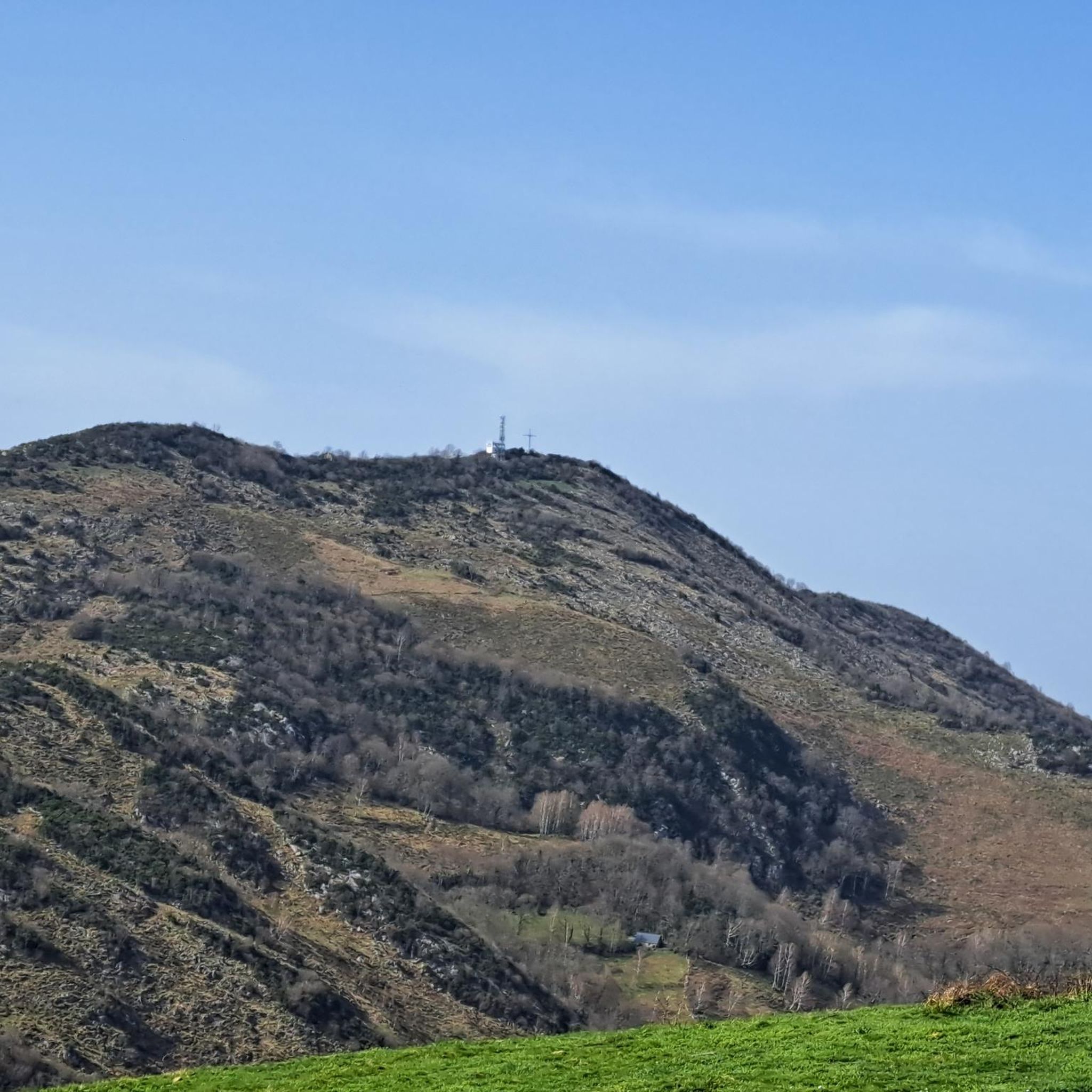
For your information, historically this was the arrival station for the cable car. It operated until the installation of the television and radio relay. After a storm, it's not uncommon for the relay to go into standby mode. TDF has a contract that runs from Monday to Friday. In case of a power outage, the weekend is reserved for reading or playing board games.
0
0

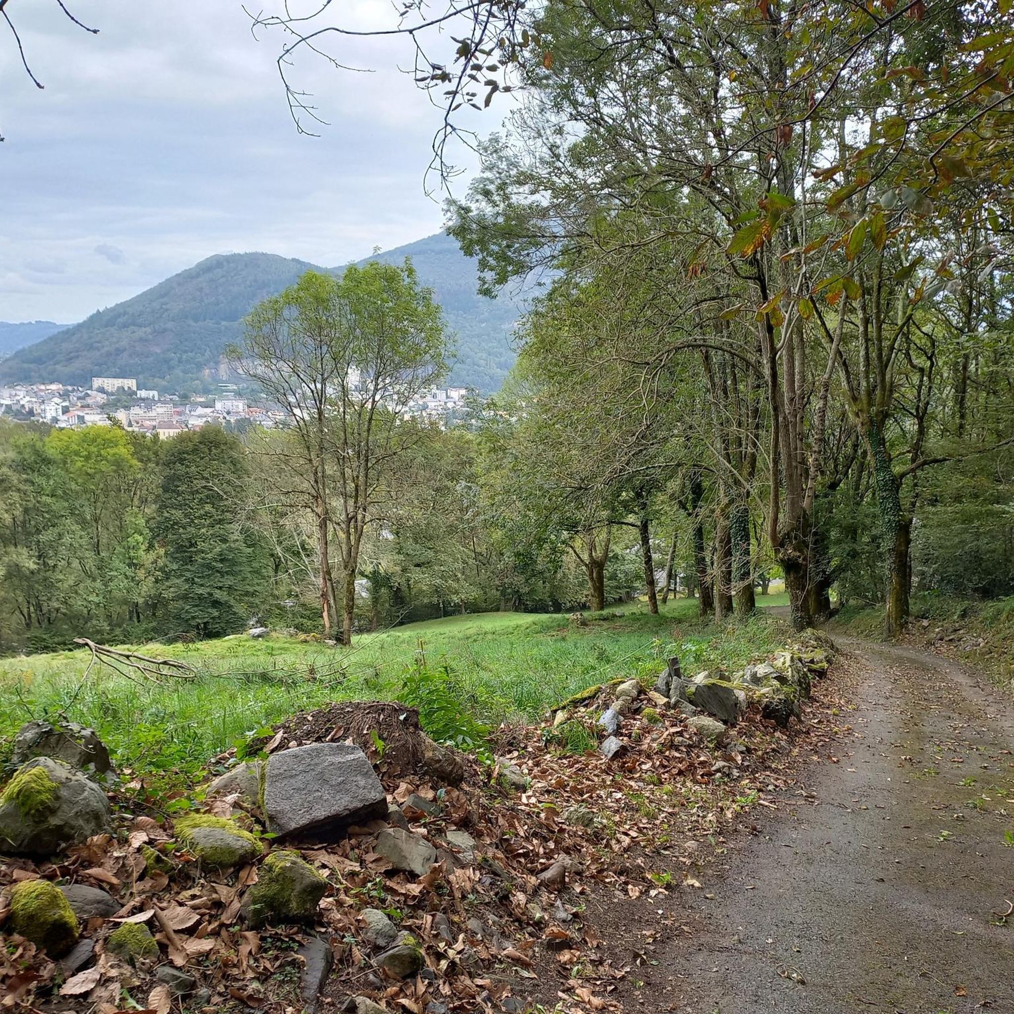
nice relaxing hike (down the mountain) not far from Lourdes
0
0
hike to do in dry weather, with a magnificent view of the Pic du Jer at the summit
0
0


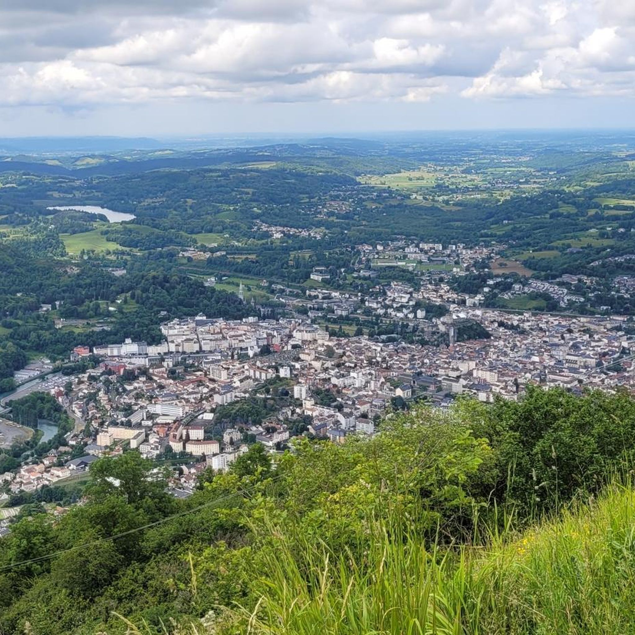
The Jer peak peaks at 948 meters, overlooking the emblematic city of Lourdes. Also accessible by funicular, it offers a superb view of the city and its valley.
1
0

Magnificent view over the plain and the Gaves valley. On the other hand, it is not an old luxury hotel at the top, but the old cable car station. There is indeed a project to transform it into a shelter, but the funding is not forthcoming.
1
0
Frequently Asked Questions
How many hiking trails are available in Jarret?
Jarret offers a wide variety of hiking experiences with over 150 trails. These routes cater to different skill levels, including 53 easy, 81 moderate, and 24 difficult trails, ensuring options for every hiker.
What kind of terrain can I expect when hiking in Jarret?
Hiking in Jarret primarily involves mountainous landscapes with prominent peaks and valleys. You can expect significant elevation changes, challenging ascents, and scenic valley routes. The terrain varies from well-trodden paths to more rugged mountain trails.
Are there any easy or family-friendly hikes in Jarret?
Yes, Jarret has 53 easy trails suitable for families or those looking for a less strenuous walk. A great option is the Petit Jer – Col des Trois Croix loop from Lourdes, which is 3.4 miles (5.4 km) long and features moderate elevation gain, offering an accessible experience.
Are there any circular hiking routes in Jarret?
Many of Jarret's trails are circular, allowing you to start and end at the same point. Popular circular routes include the challenging Pibeste and Alian Peaks Loop from Viger, or the moderate Petit Jer – Pic du Jer loop from Lourdes.
What are some notable peaks or viewpoints to explore in Jarret?
Jarret is known for its mountain peaks and scenic viewpoints. You can explore summits like Pibeste Peak, Pic du Jer, and Alian Peak. For panoramic views, consider visiting the Pibeste Summit Station or the View from the Summit of Béout.
Are there any cultural or historical attractions near the hiking trails?
Yes, the region around Jarret offers significant cultural attractions. Notably, the Lourdes sanctuary estate and the Sanctuary of Our Lady of Lourdes are prominent sites. The town of Lourdes itself is a significant landmark with historical and religious importance.
What do other hikers say about the trails in Jarret?
The trails in Jarret are highly regarded by the komoot community, holding an average rating of 4.4 out of 5 stars from over 700 reviews. Hikers frequently praise the diverse mountain landscapes, challenging ascents, and the variety of routes available for different abilities.
What is the average length and duration of hikes in Jarret?
The length and duration of hikes in Jarret vary significantly depending on the trail's difficulty and terrain. For example, the moderate Impressive rockfall – Alian Peak loop from Viger is 6.9 miles (11.2 km) and typically takes about 4 hours 20 minutes, while easier routes are shorter.
Are there any trails suitable for dog walking in Jarret?
While specific dog-friendly regulations can vary by trail and protected areas, many natural trails in mountainous regions like Jarret are generally suitable for dogs, especially if kept on a leash. It's always recommended to check local signage or park regulations for the specific trail you plan to hike.
Can I find trails that offer a mix of gravel and natural surfaces?
Yes, some areas in regions associated with 'Jarrett' feature mixed terrain. For instance, Jarrett Creek Road in North Carolina, while not directly in this 'Jarret' guide, is described as having a mix of gravel and natural surfaces, suggesting similar varied terrain can be found in mountainous areas. The trails in this Jarret guide are primarily mountain paths, which often include natural surfaces, rock, and some gravel sections.
What is the best time of year to hike in Jarret?
Given the mountainous terrain, the best time to hike in Jarret is typically during the spring, summer, and early autumn months when the weather is milder and trails are clear of snow and ice. These seasons offer the most pleasant conditions for exploring the peaks and valleys.
Are there any easy village loops for a relaxed walk?
Yes, for a more relaxed experience, you can find easier loops that pass through local villages. The Cheust Village loop from Juncalas is an easy 3.5 miles (5.7 km) trail, offering a gentle walk through scenic surroundings.
Most popular routes around Jarret
Most popular attractions around Jarret

Get inspired with the komoot mobile app


Explore more
Browse the best Hikes in other regions.
