The best mountain hikes in Pordenone
4.5
(26)
215
hikers
22
hikes
Mountaineering routes in Pordenone are primarily found within the Friulian Dolomites Natural Park, a UNESCO World Heritage site known for its wild and unspoiled nature. This region in northeastern Italy features prominent peaks, deep gorges, and diverse terrain, offering a range of challenges for mountaineers. The landscape is characterized by rugged limestone formations, extensive forests, and significant river systems like the Tagliamento. Elevations vary, with notable peaks such as Manera Peak (Cimon del Cavallo) reaching over 2,200 meters.
Best mountaineering…
Last updated: November 5, 2026
4.7
(6)
38
hikers
5.27km
02:41
410m
410m
Hard mountaineering route. Good fitness required. Sure-footedness, sturdy shoes and alpine experience required.
5.0
(5)
42
hikers
Moderate mountaineering route. Good fitness required. Mostly walkable paths. Sure-footedness required.

3.0
(1)
13
hikers
8.18km
06:49
930m
930m
Hard mountaineering route. Very good fitness required. Sure-footedness, sturdy shoes and alpine experience required.
5.0
(1)
12
hikers
3.35km
01:40
230m
230m
Hard mountaineering route. Sure-footedness, sturdy shoes and alpine experience required.
8
hikers
12.6km
07:21
1,280m
1,300m
Hard mountaineering route. Very good fitness required. Sure-footedness, sturdy shoes and alpine experience required.
3.0
(1)
8
hikers
11.8km
04:22
790m
790m
Moderate mountaineering route. Good fitness required. Easily walkable paths.
4.5
(2)
8
hikers
10.1km
05:04
830m
830m
Hard mountaineering route. Very good fitness required. Sure-footedness, sturdy shoes and alpine experience required.
4
hikers
16.3km
07:03
950m
950m
Hard mountaineering route. Very good fitness required. Mostly walkable paths. Sure-footedness required.
4
hikers
12.7km
04:29
710m
720m
Moderate mountaineering route. Good fitness required. Easily walkable paths.
5.0
(2)
3
hikers
6.53km
02:21
370m
370m
Moderate mountaineering route. Good fitness required. Easily walkable paths.
Get access to more routes and recommendations from other explorers.
Already have an account?
Our route recommendations are based on thousands of hikes, rides, and runs completed by other people on komoot.
Start today with a free account
Your next adventure awaits.
Popular around Pordenone

Mountain Hikes around Cimolais

Mountain Hikes around Parco naturale regionale delle Dolomiti Friulane

Mountain Hikes around Dolomiti Friulane National Park

Mountain Hikes around Claut

Mountain Hikes around Erto E Casso

Mountain Hikes around Barcis

Mountain Hikes in Foresta Regionale Del Prescudin

Mountain Hikes around Lago di Barcis / Lât di Barcis
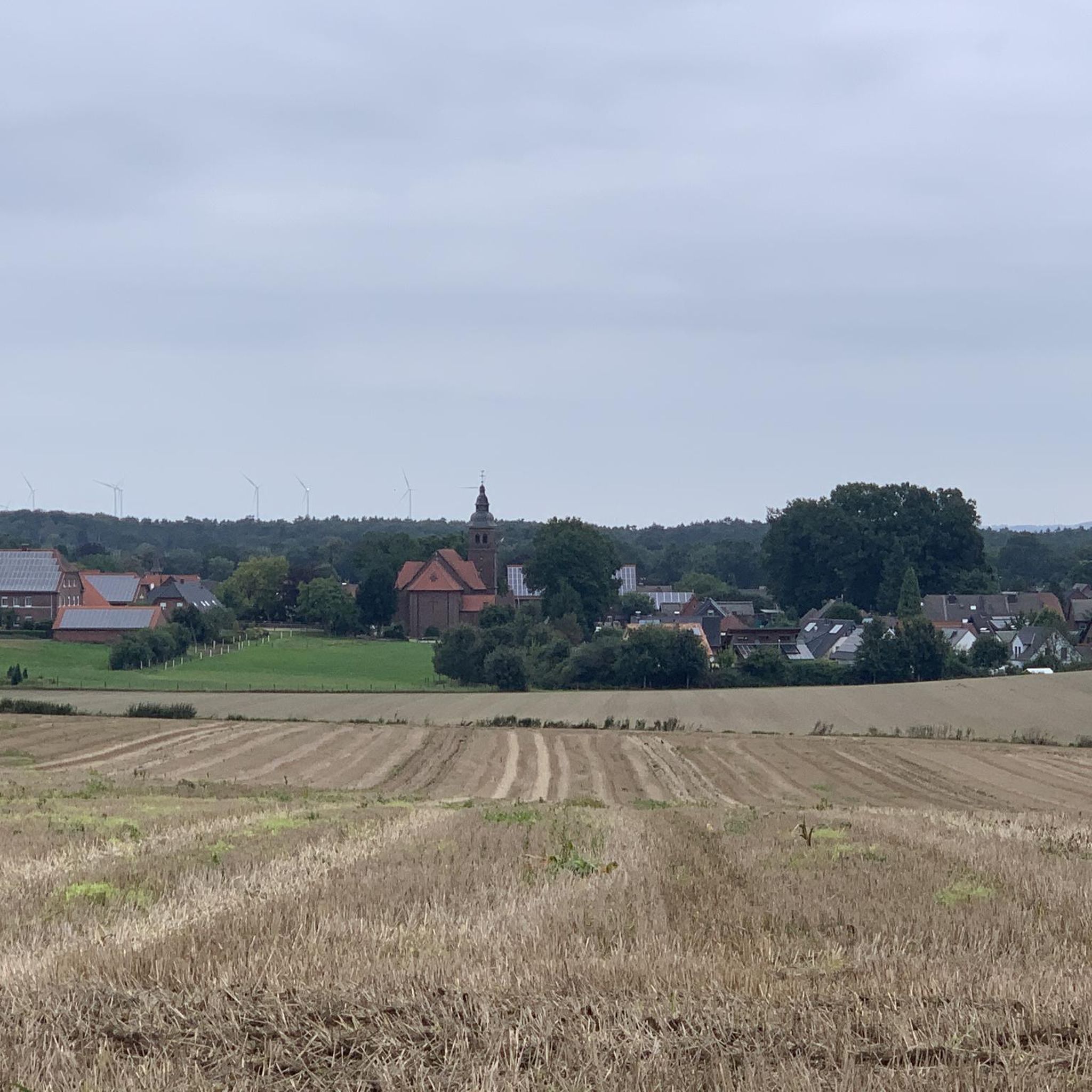
Mountain Hikes around Tramonti Di Sopra

Mountain Hikes around Aviano


Tips from the Community

The old tunnels for the construction of the Vajont dam
0
0

Panoramic summit, often frequented by groups of ibex, never had them so close compared to other places where I was lucky enough to encounter them.
0
0
The highest peak of the Rondoi
0
0
Equipped trail there is a door to cima Laste
0
0
After the traverse, the equipped climb begins up the small gully that easily leads to the summit
0
0
Starting point for Manera summit
0
0

Frequently Asked Questions
How many mountaineering routes are available in Pordenone?
Pordenone offers a diverse selection of over 14 mountaineering routes, catering to various skill levels. These routes are highly rated by the komoot community, with an average score of 4.7 stars from over 30 reviews.
Are there any family-friendly mountaineering routes in Pordenone?
While many mountaineering routes in Pordenone are challenging, some moderate options might be suitable for families with older, experienced children. For example, the Campanile di Val Montanaia loop from Rifugio Pordenone is a moderate 3.3-mile route offering stunning views of the distinctive Campanile di Val Montanaia.
What are some of the most scenic viewpoints along the mountaineering routes?
The Pordenone region, particularly within the Friulian Dolomites Natural Park, offers numerous breathtaking viewpoints. Routes like Cima dei Furlani – Cimon del Cavallo loop from Piancavallo / Plancjaval provide panoramic vistas of major Dolomite groups, including the Julian and Carnic Alps. You can also find specific viewpoints like the First Viewpoint (Skywalk del Dint) near Lake Barcis.
Are there any circular mountaineering routes in the Pordenone area?
Yes, many mountaineering routes in Pordenone are designed as loops, allowing you to return to your starting point without retracing your steps. Examples include the Monte Raut – Forcella Capra loop from Forcella di Pala Barzana, a challenging 5.6-mile route, and the Cima di Rodisegre – Spalla del Duranno loop from Casera di Conte, a longer difficult option.
What kind of terrain can I expect on mountaineering routes in Pordenone?
The terrain in Pordenone's mountaineering routes is primarily characterized by the rugged limestone formations of the Friulian Dolomites. You'll encounter varied landscapes, from extensive forests to challenging rocky ascents and descents, often with significant elevation changes. The region features deep river gorges and diverse geological features.
Are there any natural attractions or landmarks to see near the mountaineering trails?
Absolutely. The Pordenone region is rich in natural wonders. You can explore the spectacular Lake Barcis, known for its emerald green waters, or visit the striking Gorgazzo Spring. The Pradis Ravine, with its underground caverns and gorges, is another unique natural feature in the area.
What is the best time of year for mountaineering in Pordenone?
The best time for mountaineering in Pordenone is generally from late spring to early autumn (May to October), when the weather is more stable and trails are free of snow. During winter, the area transforms, offering opportunities for snowshoeing and ski mountaineering, but requires specialized equipment and experience.
Are there any moderate mountaineering routes for those with some experience but not seeking extreme challenges?
Yes, Pordenone offers several moderate mountaineering routes. Besides the Campanile di Val Montanaia loop, you might consider the Rifugio Pradut loop from Lesis, an 11.9-kilometer route with a moderate difficulty, or the Rifugio Maniago loop from Casera di Conte, a 12.8-kilometer moderate trail.
What are some of the more challenging mountaineering routes in Pordenone?
For experienced mountaineers seeking a challenge, Pordenone has several difficult routes. The Cima Sterpezza – Monte Borgà loop from Codissago is a demanding 12.5-kilometer route with significant elevation gain. Another difficult option is the Forcella Val di Brica loop from Rifugio Pordenone, covering nearly 16 kilometers.
Are there any mountaineering routes that are shorter but still offer a good experience?
If you're looking for a shorter mountaineering experience, the Rifugio Pussa loop from Val Settimana is a moderate 6.5-kilometer route. It offers a good taste of the region's beauty without requiring a full day's commitment.
What makes mountaineering in Pordenone unique?
Mountaineering in Pordenone is unique due to its location within the Friulian Dolomites Natural Park, a UNESCO World Heritage site. The region is characterized by its wild, unspoiled nature, dramatic limestone peaks like Manera Peak (Cimon del Cavallo), deep gorges such as Cellina Gorge, and diverse ecosystems along rivers like the Tagliamento. It offers a blend of challenging ascents and scenic climbs amidst a pristine natural environment.
Most popular routes in Pordenone
Most popular attractions in Pordenone

Get inspired with the komoot mobile app


Didn’t find what you were looking for?
Check out more Mountain Hikes & Routes throughout Pordenone below and find the perfect route in your destination.
Explore more
Browse the best Mountain Hikes & Routes in other regions.
