The best walks and hikes around Saint-Andéol-De-Fourchades
4.5
(505)
3,011
hikers
115
hikes
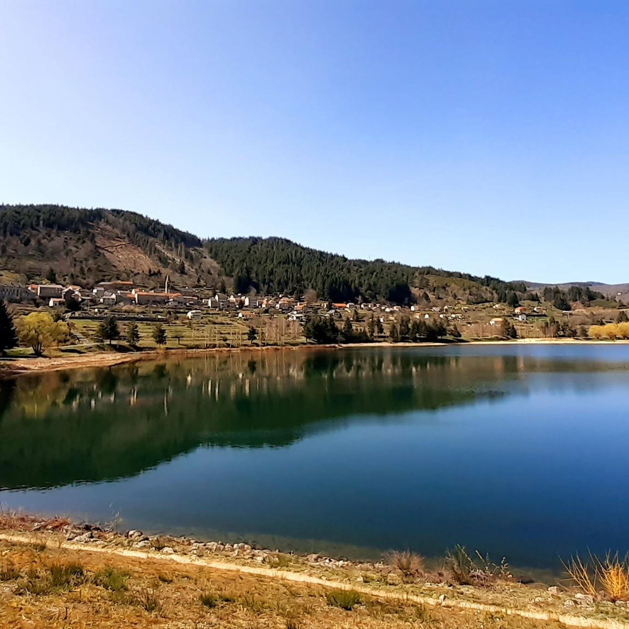
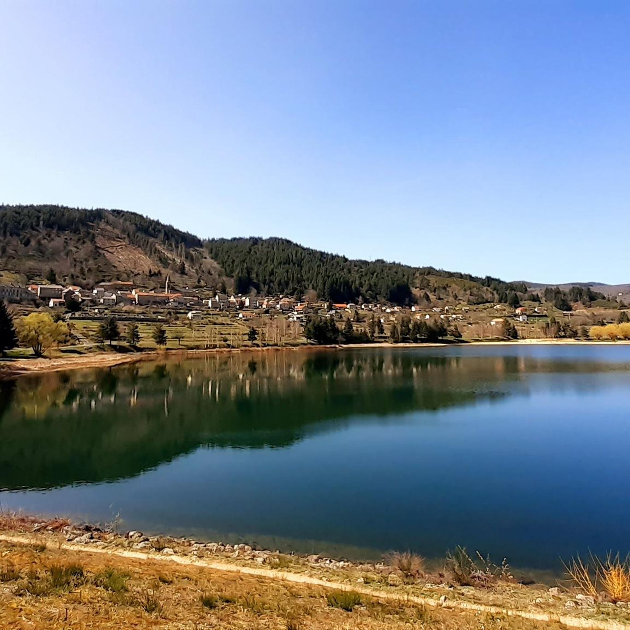
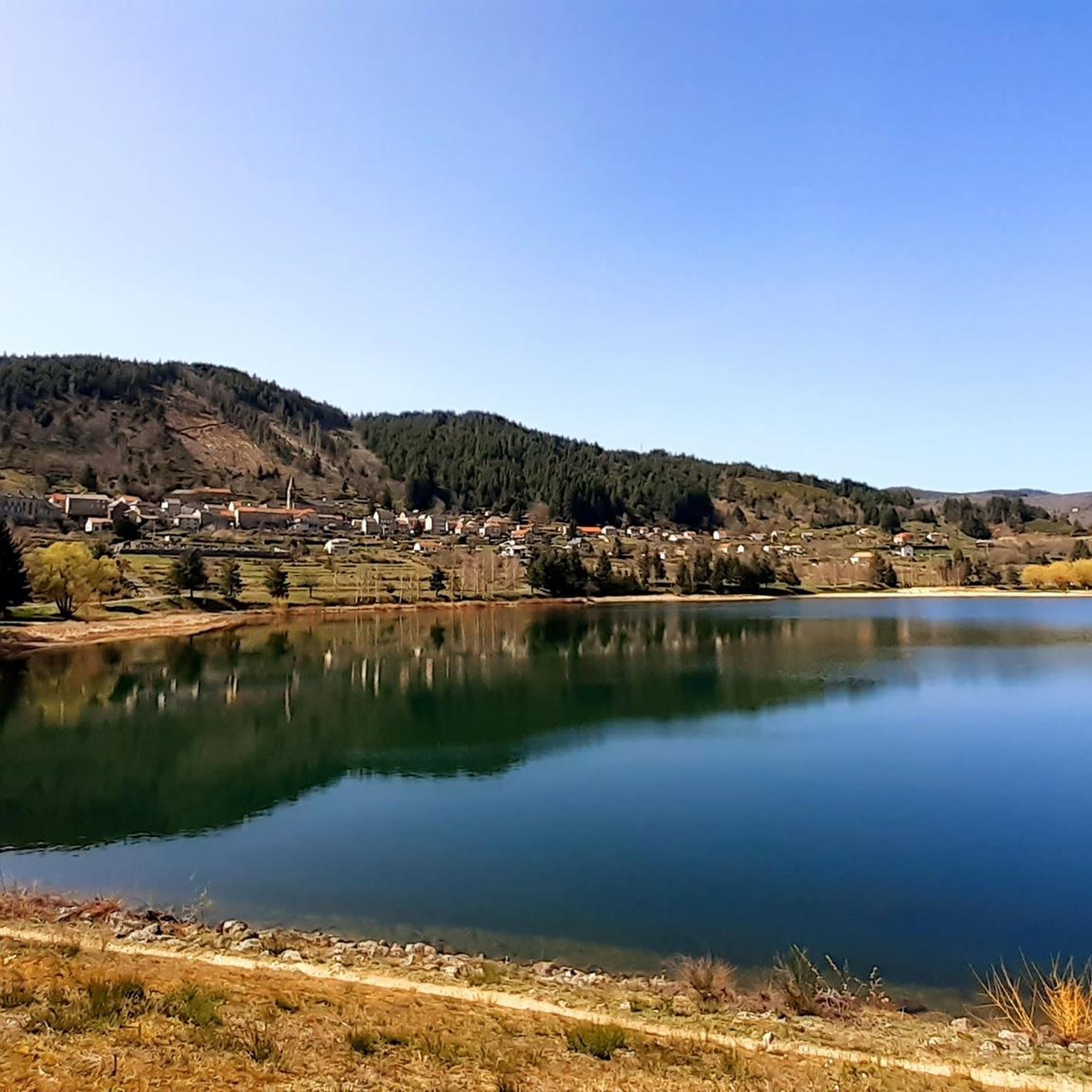
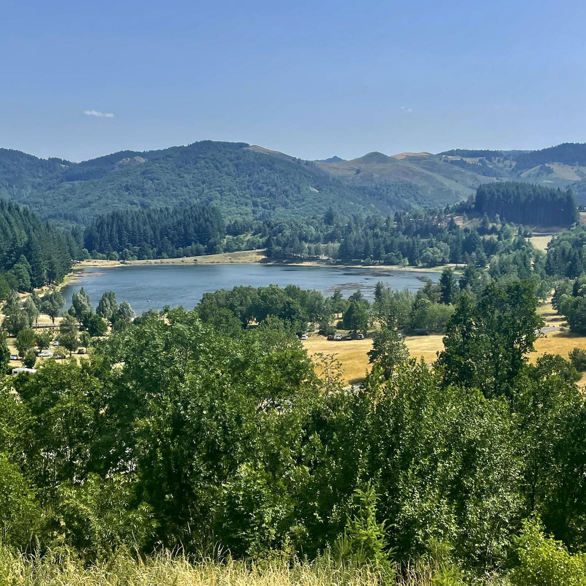
Hiking around Saint-Andéol-De-Fourchades offers access to diverse volcanic landscapes within the Ardèche department. The region is characterized by its volcanic origins, featuring numerous peaks (sucs) and ridges, alongside forests of chestnut, oak, beech, and pine. Key natural features include Mont Gerbier de Jonc, the source of the Loire River, and Lac d'Issarlès, a lake nestled in an ancient volcanic crater. The area is part of the Ardèche mountains, providing a varied environment for outdoor activities.
Best hiking trails around Saint-Andéol-De-Fourchades
…Last updated: May 18, 2026
4.0
(3)
14
hikers
12.4km
03:40
250m
250m
Hard hike. Good fitness required. Sure-footedness, sturdy shoes and alpine experience required.
5.0
(1)
9
hikers
2.09km
00:33
10m
10m
Easy hike. Great for any fitness level. Easily-accessible paths. Suitable for all skill levels.

Sign up for free
5.0
(1)
4
hikers
2.42km
00:40
40m
40m
Easy hike. Great for any fitness level. Easily-accessible paths. Suitable for all skill levels.
4.5
(2)
7
hikers
13.1km
03:45
290m
290m
Moderate hike. Good fitness required. Easily-accessible paths. Suitable for all skill levels.
3.0
(1)
6
hikers
22.0km
06:53
760m
760m
Hard hike. Very good fitness required. Sure-footedness, sturdy shoes and alpine experience required.
Get access to more routes and recommendations from other explorers.
Sign up for free
Already have an account?
Our route recommendations are based on thousands of hikes, rides, and runs completed by other people on komoot.
Start today with a free account
Your next adventure awaits.
Login or Signup

Tips from the Community


Great Tour to Mont Gerbier-de-Jonc
0
0

Mont Gerbier-de-Jonc is one of the highest peaks of the Monts d'Ardèche in the south-eastern Massif Central. The mountain itself is a striking, extinct volcanic cone with a good view over the Massif Central. The ascent and descent require some fitness and good footwear. There are a few short climbing rocks that cannot be avoided. But the view is worth it.
0
0
20 minutes but only for the very experienced :-) We took our time and enjoyed the landscape and view - a good two hours of enjoyment :-)
0
0

A volcano in the shape of a needle of cooled lava, Le Gerbier de Jonc, placed like a cone on the Ardèche plateau, is with the Gouléïou, located in the Cirque des Boutières, the archetype of the phonolitic juices of this territory. From the Gerbier de Jonc and the surrounding phonolite reliefs, rises the longest river in France: the Loire. Trails of varying difficulty and length lead to the summit.
0
0

Major site for cycling in the Ardèche with multiple access routes, all just as beautiful
0
0

More of a symbol than an exceptional site, but a beautiful symbol.
0
0
Frequently Asked Questions
What kind of terrain can I expect on hikes around Saint-Andéol-De-Fourchades?
The region is characterized by its volcanic origins, featuring numerous peaks (sucs) and ridges. You'll hike through diverse landscapes, including forests of chestnut, oak, beech, and pine, often traversing different types of lava formations. Expect varied terrain, from gentle paths to more challenging ascents.
Are there hiking trails suitable for all skill levels?
Yes, Saint-Andéol-De-Fourchades offers a wide array of hiking routes for various fitness levels. Out of 118 total tours, you'll find 28 easy routes, 61 moderate routes, and 29 difficult routes, ensuring options for everyone from casual walkers to experienced hikers.
What natural landmarks or viewpoints can I discover while hiking?
The area is rich in natural beauty. You can ascend Mount Gerbier de Jonc, where the Loire River originates, for magnificent 360° panoramic views. Another notable feature is Ray-Pic Waterfall, a stunning natural attraction. You might also encounter views of the entire Boutières region, with many volcanoes visible from certain vantage points.
Are there any circular hiking routes available?
Yes, many routes in the area are designed as loops. For example, you can explore the area around the geographic source of the Loire River on The Loire — Geographic Source loop from Saint-Martial, or experience the volcanic landscape on the Font de Gratteloup Shelter – Stone bridge loop from Ferme du Bourlatier.
What do other hikers enjoy most about hiking in Saint-Andéol-De-Fourchades?
The area is highly rated by the komoot community, with an average score of 4.5 stars from over 490 reviews. Hikers often praise the diverse volcanic landscapes, the panoramic views from peaks like Mont Gerbier de Jonc, and the variety of trails suitable for different abilities.
Are there any easy, shorter hikes suitable for families or beginners?
Absolutely. For a shorter, easy walk, consider the Saint Martial loop from Saint-Martial, which is just over 2 km. Another gentle option is the Saint Martial – Lake Saint-Martial loop from Saint-Martial, offering a pleasant walk around the lake.
Can I bring my dog on the hiking trails?
While specific regulations for each trail can vary, generally, dogs are welcome on many hiking trails in the Ardèche mountains, provided they are kept under control, especially in areas with livestock or protected wildlife. It's always advisable to check local signage or specific trail guidelines before heading out.
What is the best time of year to go hiking in Saint-Andéol-De-Fourchades?
The region is enjoyable for hiking across multiple seasons. Spring and autumn offer pleasant temperatures and vibrant natural colors. Summer is also popular, though some trails might be warmer. Winter hiking is possible, especially for those seeking snowy landscapes, but requires appropriate gear and caution.
Are there any historical or cultural sites to visit near the hiking routes?
Yes, the region offers glimpses into its past. You can visit the Tchier de Borée, a unique man-made monument. The Ferme de Bourlatier, a typical Ardèche mountain farm, is also a remarkable example of rustic architecture and hosts exhibitions, offering insight into local traditions.
Where can I find parking for trailheads in the area?
Many popular trailheads, such as those starting from Ferme du Bourlatier, typically offer parking facilities for hikers. For specific routes, it's recommended to check the tour details on komoot, as parking information is often included there.
Are there any long-distance hiking routes that pass through Saint-Andéol-De-Fourchades?
Yes, Saint-Andéol-De-Fourchades is part of longer hiking itineraries. The area is integrated into routes like the 'Traversée de la Montagne Ardéchoise' (Crossing of the Ardèche Mountain) and the GR® de Pays Tour de la Montagne Ardéchoise, offering options for multi-day adventures.
Most popular routes around Saint-Andéol-De-Fourchades
Most popular attractions around Saint-Andéol-De-Fourchades

Get inspired with the komoot mobile app


Explore more
Browse the best Hikes in other regions.
