The best walks and hikes around Altbach
4.5
(10988)
51,880
hikers
25
hikes
Hiking around Altbach offers diverse landscapes, situated on the southern slope of the Schurwald forest and nestled in the Neckar Valley. The region features riverine scenery along the Neckar River and dense woodlands within the Schurwald. Hikers can also explore picturesque vineyards and enjoy panoramic views of the Rems Valley from gentle hills. This varied terrain provides a range of natural settings for outdoor activities.
Best hiking trails around Altbach
- The most popular hiking route is Plochinger Forest Trail 2…
Last updated: October 7, 2026
4.3
(38)
133
hikers
Easy hike. Great for any fitness level. Easily-accessible paths. Suitable for all skill levels.
4.6
(14)
66
hikers
14.3km
04:00
280m
280m
Moderate hike. Good fitness required. Easily-accessible paths. Suitable for all skill levels.

3.8
(4)
12
hikers
19.1km
05:17
330m
330m
Hard hike. Very good fitness required. Easily-accessible paths. Suitable for all skill levels.
5.0
(33)
29
hikers
Easy hike. Great for any fitness level. Easily-accessible paths. Suitable for all skill levels.
4.8
(4)
31
hikers
4.52km
01:16
90m
90m
Easy hike. Great for any fitness level. Easily-accessible paths. Suitable for all skill levels.
Get access to more routes and recommendations from other explorers.
Already have an account?
Our route recommendations are based on thousands of hikes, rides, and runs completed by other people on komoot.
Start today with a free account
Your next adventure awaits.
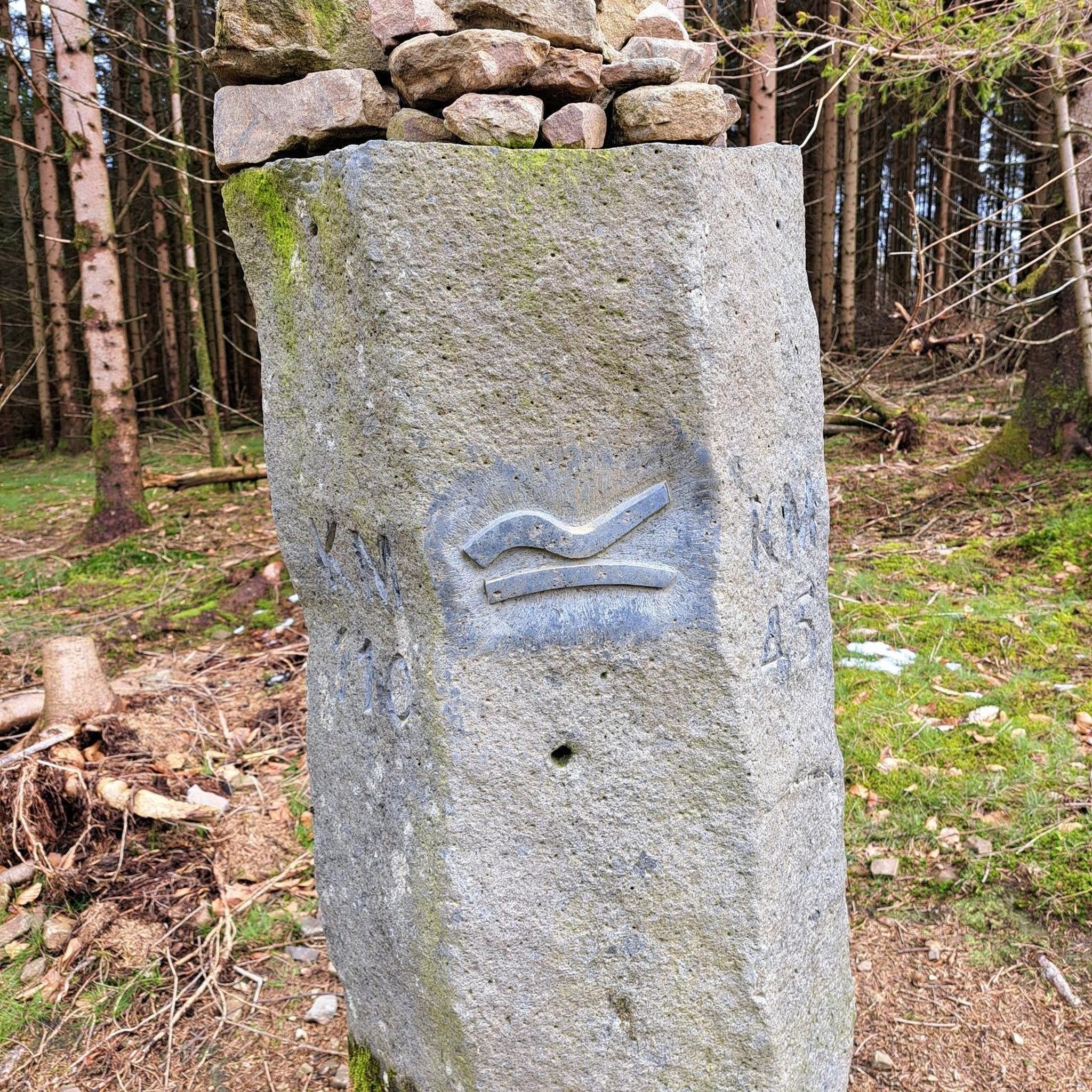
Tips from the Community

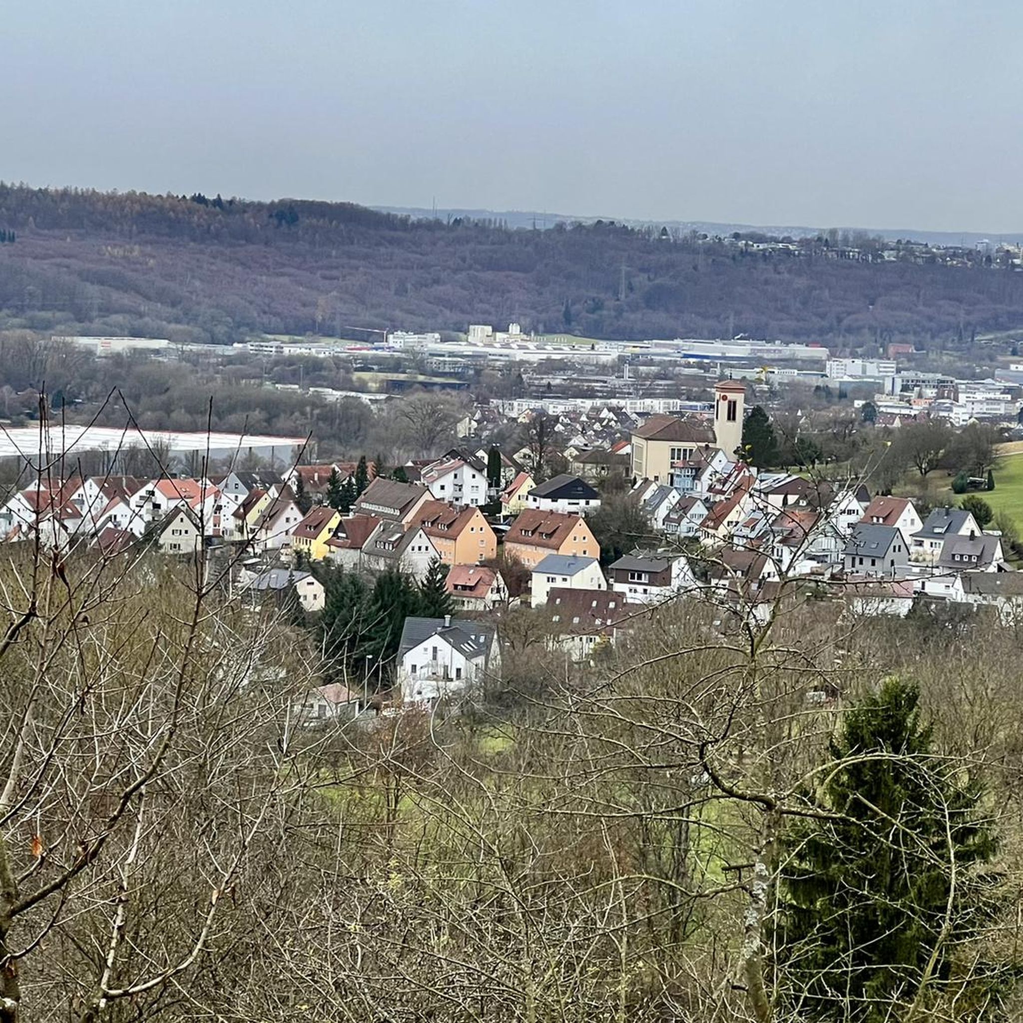
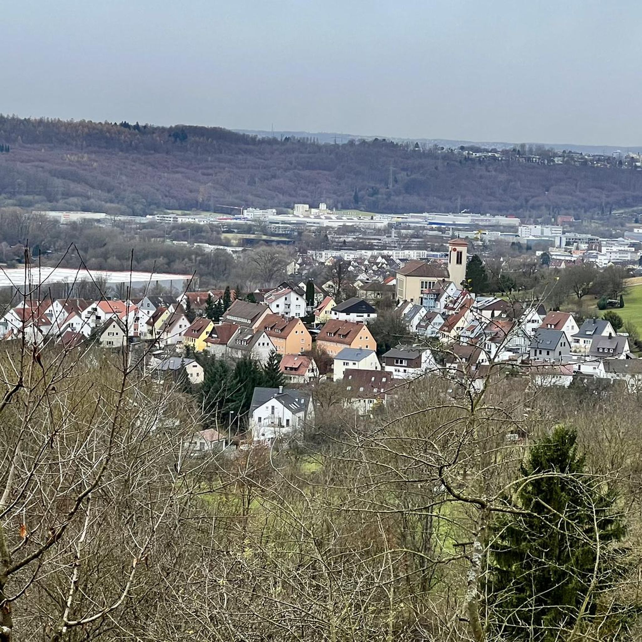
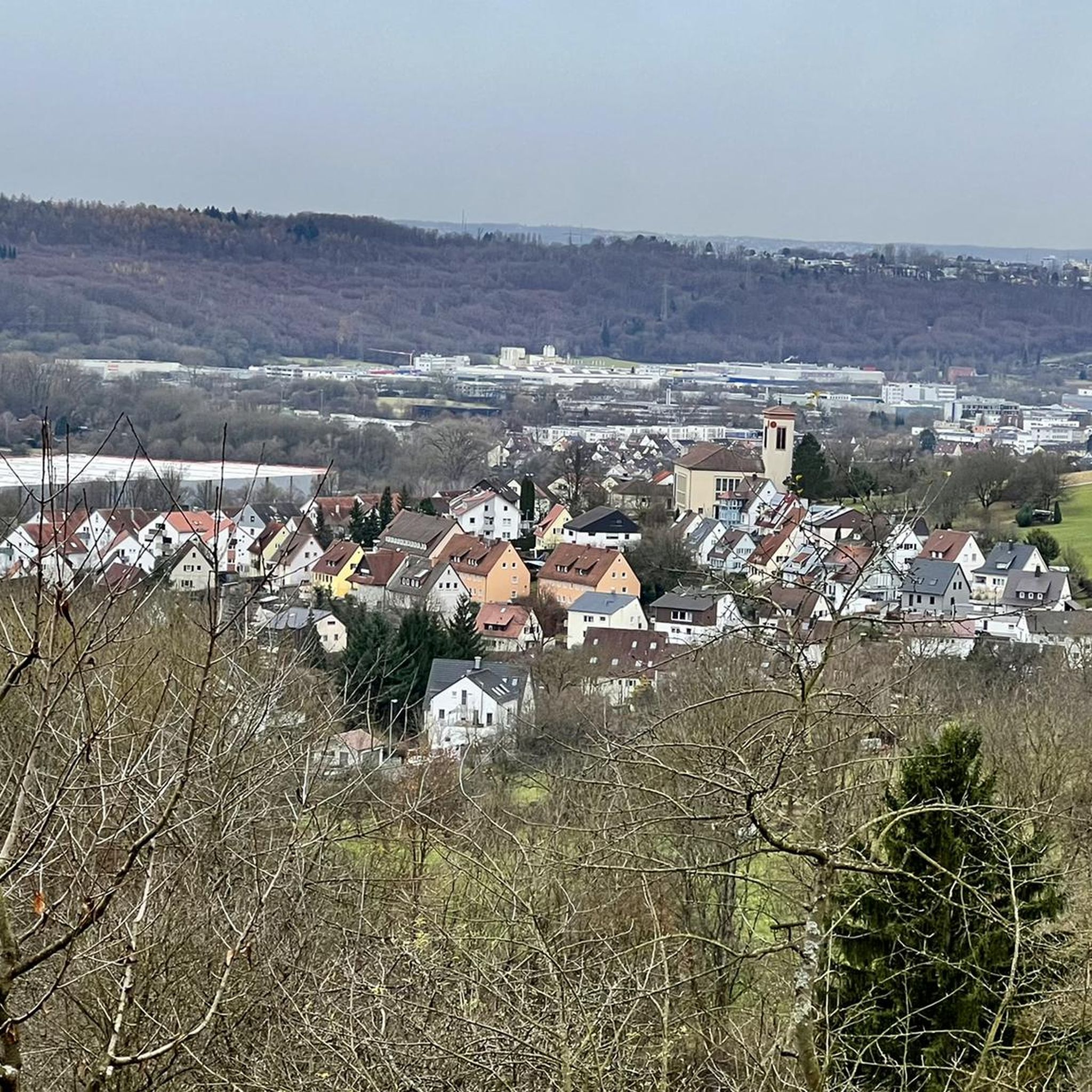
From up here, a view over the land in the twilight is magnificent.
0
0

Something different and could perhaps serve as an observation point or even a viewing platform. Well done, in any case.
0
0

I can only confirm: the entrance to the jungle path is hard to find. Completely overgrown.
0
0

The fountain in the forest with a small pond offers a shady spot for a rest.
2
0

A small bridge in the cool virgin forest
1
0

The Auschau across the Neckar valley to the Fildern is beautiful.
2
0
Such ideas are always nice.
0
0
Frequently Asked Questions
How many hiking trails are there in Altbach, and what are their difficulty levels?
Altbach offers a diverse network of over 25 hiking trails. You'll find options for all abilities, including 15 easy routes, 10 moderate paths, and 1 more challenging trail for experienced hikers.
What is the best time of year to go hiking in Altbach?
The most beautiful seasons for hiking in Altbach are spring, when the local flora bursts into bloom, and autumn, which transforms the landscape with vibrant foliage. While summer can be warm, cooler morning or evening hikes are recommended to enjoy the trails comfortably.
Are there any family-friendly hiking trails in Altbach?
Yes, Altbach has several easy trails suitable for families. The Schurwald Nature Park, on the edge of which Altbach is situated, is particularly recommended for family excursions, featuring well-marked trails and pleasant picnic areas. An example of an easy route is the Bührlenbrunnen Fountain – Ulrich's Spring loop from Altbach, which is 2.8 miles (4.5 km) long and takes about 1 hour 16 minutes.
Are there any circular hiking routes in Altbach?
Many of Altbach's trails are designed as loops, allowing you to start and end at the same point. For example, the Plochinger Forest Trail 2 – Bridge Over the Katzenlohbach loop from Altbach is an easy 3.3-mile (5.3 km) circular route through wooded areas. Another option is the Bridge Over the Katzenlohbach – View of Plochingen loop from Altbach, a moderate 8.7-mile (14.0 km) path with varied terrain.
What kind of natural features or landscapes can I expect to see while hiking in Altbach?
Altbach's hiking trails offer a rich variety of landscapes. You can enjoy leisurely walks along the Neckar River in the scenic Neckar Valley, explore dense forests within the Schurwald, or traverse picturesque vineyards. The area is also known for being rich in natural springs, such as the Bührlenbrunnen Fountain, and offers panoramic views of the Rems Valley.
Are there any viewpoints or scenic spots along the trails in Altbach?
Absolutely. The 'panorama trail 'Around Altbach'' is a highlight, offering expansive views of the Rems Valley and surrounding villages. You can also find stunning vistas towards Plochingen on routes like the Bridge Over the Katzenlohbach – View of Plochingen loop from Altbach. For specific viewpoints, consider visiting the Schützenhüttle Viewpoint or the View of Stuttgart and the Grabkapelle from Rotenberger Steige Shelter.
Are there any notable attractions or landmarks near the hiking trails in Altbach?
Yes, several interesting spots are accessible from the trails. You can visit the Heinrich-Mayer-Park, a four-hectare park featuring a labyrinth. The Eichensee and Schlössles Lakes offer tranquil natural settings. For a historical touch, the Denkendorf Abbey Church is also nearby. Along some routes, you might also discover the Sieben Linden Forest Tavern or the Fischerhütte Wendlingen Beer Garden for a refreshing stop.
What do other hikers enjoy the most about hiking in Altbach?
The hiking trails around Altbach are highly rated by the komoot community, with an average score of 4.4 stars from over 150 reviews. Hikers frequently praise the diverse landscapes, from the peaceful Neckar Valley to the dense Schurwald forest, and the well-maintained paths that cater to various fitness levels.
Are there any trails that feature water elements like springs or rivers?
Yes, Altbach is rich in water features. You can enjoy leisurely walks along the banks of the Neckar River, taking in the beautiful riverine landscape. The region is also known for its numerous springs; for instance, the Bührlenbrunnen Fountain – Ulrich's Spring loop from Altbach leads past natural springs, and the 'Waldbrunnen Mit Teich Und Bänken' (fountain in the forest with a small pond) offers a shady spot for a rest.
Can I reach hiking trailheads in Altbach using public transport?
Altbach is well-connected within the Esslingen district, and public transport options are available to reach the municipality. From there, many trailheads are accessible, particularly those closer to the town center or along the Neckar. It's advisable to check local bus and train schedules for specific starting points.
Are there parking facilities available for hikers in Altbach?
Yes, Altbach provides various parking options for visitors. Depending on the specific trailhead you plan to access, you will find designated parking areas within the municipality or at popular starting points for trails leading into the Schurwald or along the Neckar. Look for local signage for the most convenient spots.
Are there any particularly quiet or less crowded hiking options in Altbach?
While popular routes can see more foot traffic, the extensive network of trails in Altbach, especially deeper into the Schurwald forest, offers opportunities for quieter hikes. Exploring some of the less-trafficked forest paths or visiting during off-peak hours (early mornings or weekdays) can provide a more serene experience.
Most popular routes around Altbach
Most popular attractions around Altbach

Get inspired with the komoot mobile app


Explore more
Browse the best Hikes in other regions.
