The best road cycling routes around Saint-Andéol-De-Vals
4.6
(230)
7,211
riders
148
rides
Road cycling routes around Saint-Andéol-De-Vals traverse a varied topography within the Monts d'Ardèche Regional Nature Park, featuring significant altitude changes from 304 meters to 786 meters. The terrain includes hills, valleys, wild alluvial gorges, and ridges, providing both climbs and descents. Cyclists encounter terraced landscapes, vast chestnut groves, and remnants of the region's volcanic past, such as basaltic flows. The area's winding and picturesque roads connect the main village with charming hamlets, offering scenic environments for exploration.
Best road cycling…
Last updated: July 15, 2026
4.5
(2)
79
riders
82.2km
04:36
1,590m
1,590m
Hard road ride. Very good fitness required. Mostly well-paved surfaces and easy to ride.
54
riders
84.3km
04:34
1,730m
1,720m
Hard road ride. Very good fitness required. Mostly well-paved surfaces and easy to ride.

Sign up for free
40
riders
51.2km
02:50
960m
960m
Hard road ride. Very good fitness required. Mostly well-paved surfaces and easy to ride.
5.0
(3)
48
riders
45.5km
03:13
1,280m
1,280m
Hard road ride. Very good fitness required. Mostly well-paved surfaces and easy to ride.
5.0
(2)
10
riders
19.7km
01:15
470m
470m
Moderate road ride. Good fitness required. Mostly well-paved surfaces and easy to ride.
Get access to more routes and recommendations from other explorers.
Sign up for free
Already have an account?
Our route recommendations are based on thousands of hikes, rides, and runs completed by other people on komoot.
Start today with a free account
Your next adventure awaits.
Login or Signup

Tips from the Community

Located at an altitude of 1,330 meters, Lachamp-Raphaël is the highest village in the Ardèche. Dominated by the Montivernoux peak, the village offers exceptional panoramic views of the Alps and the Ardèche mountains. https://lachamp-raphael.fr/
0
0

Anyone who wants to stop for a bite to eat should stop here. There are few alternatives. A Grand Café Creme and a generous sandwich for 8 euros.
1
1

view of the Pierres de Faux pass.
0
0
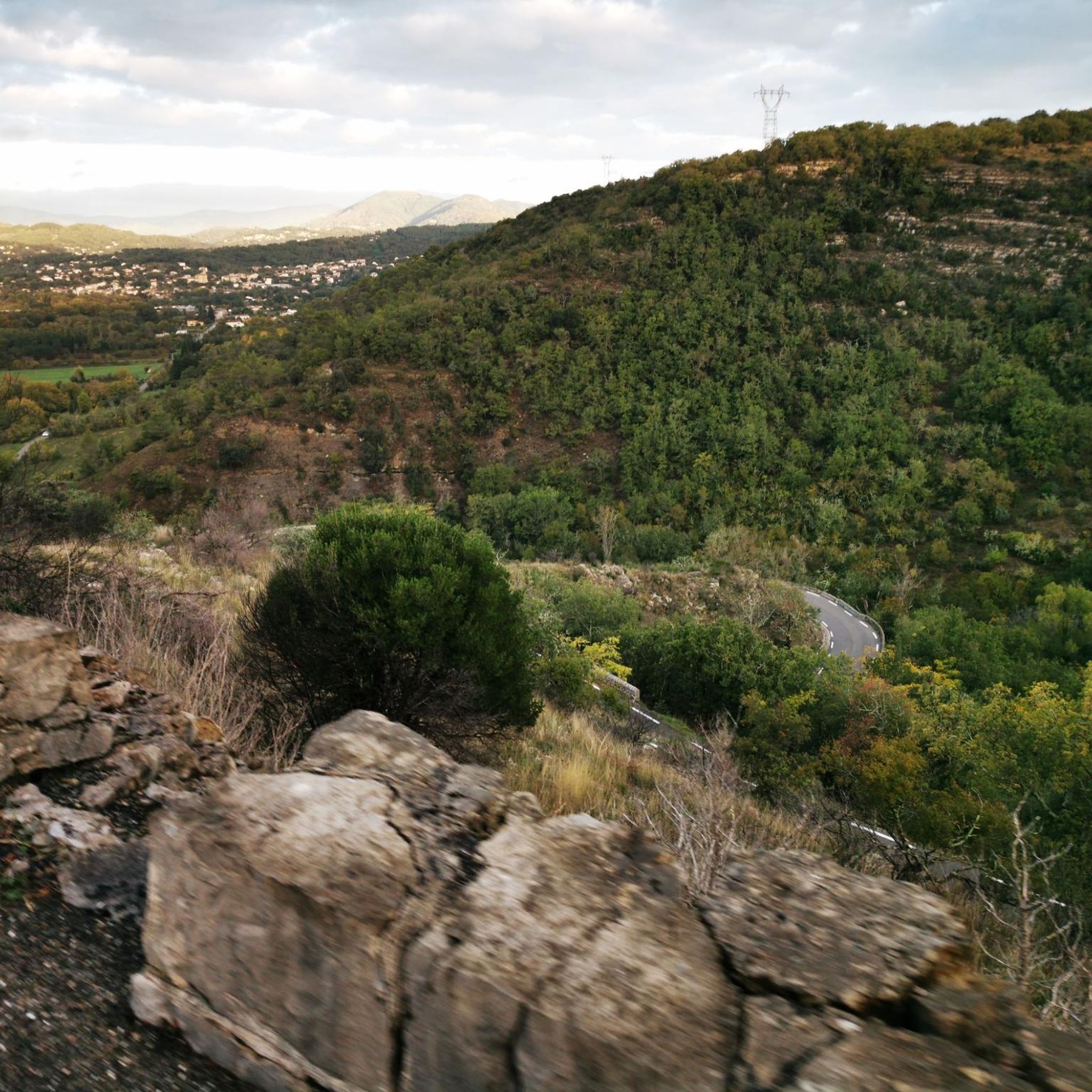
From this pass we see the Privas plain to the north and the Aubenas plain to the south.
0
0
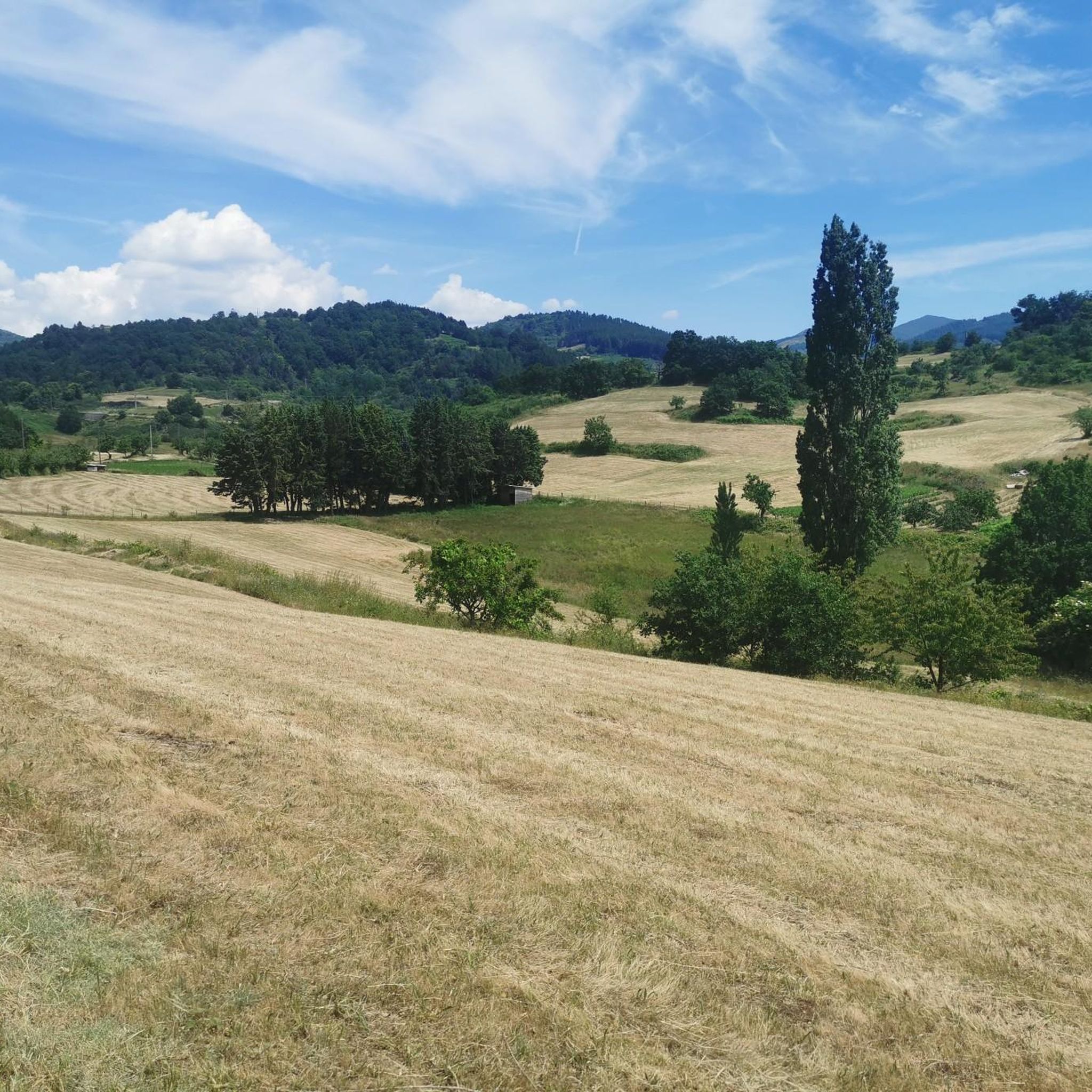
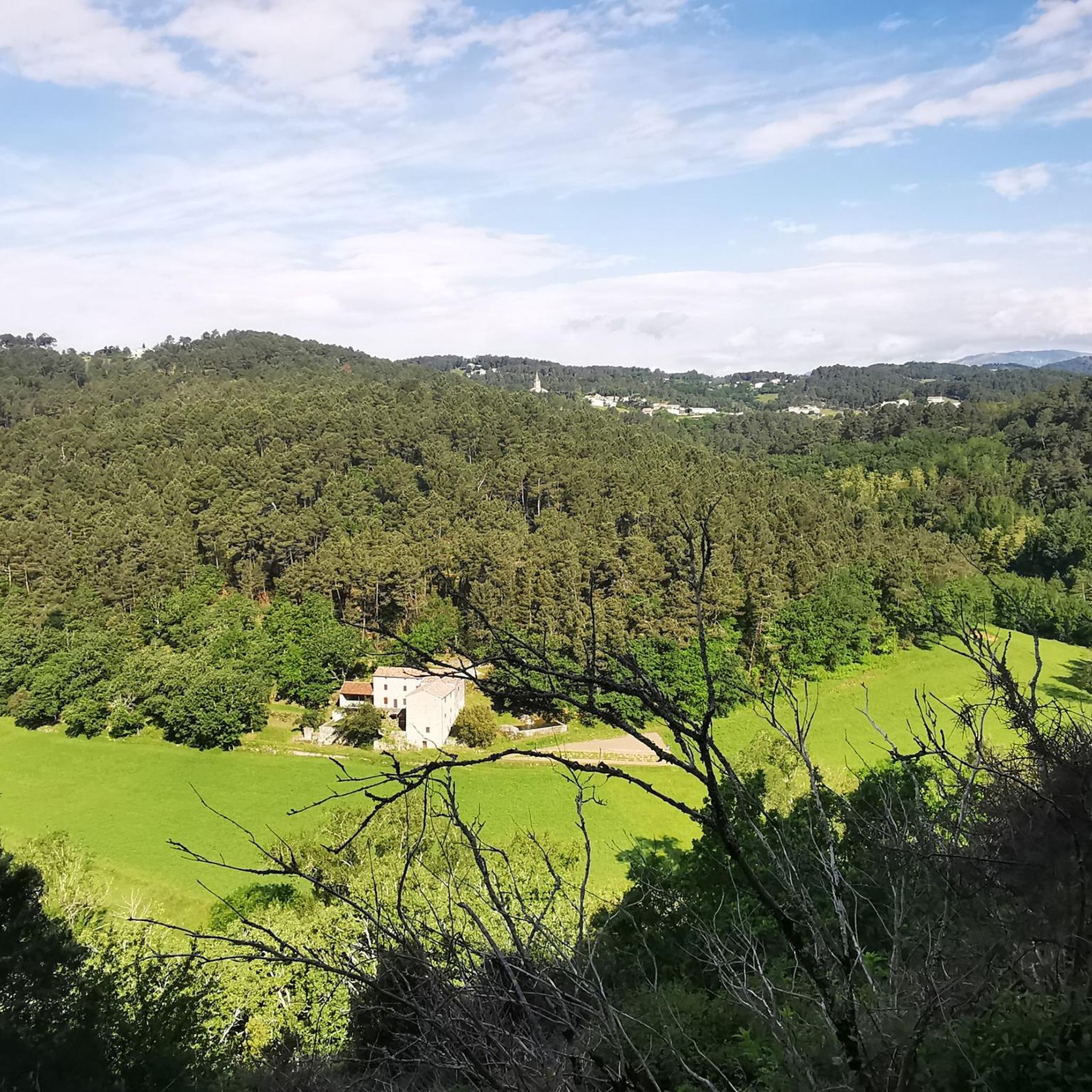
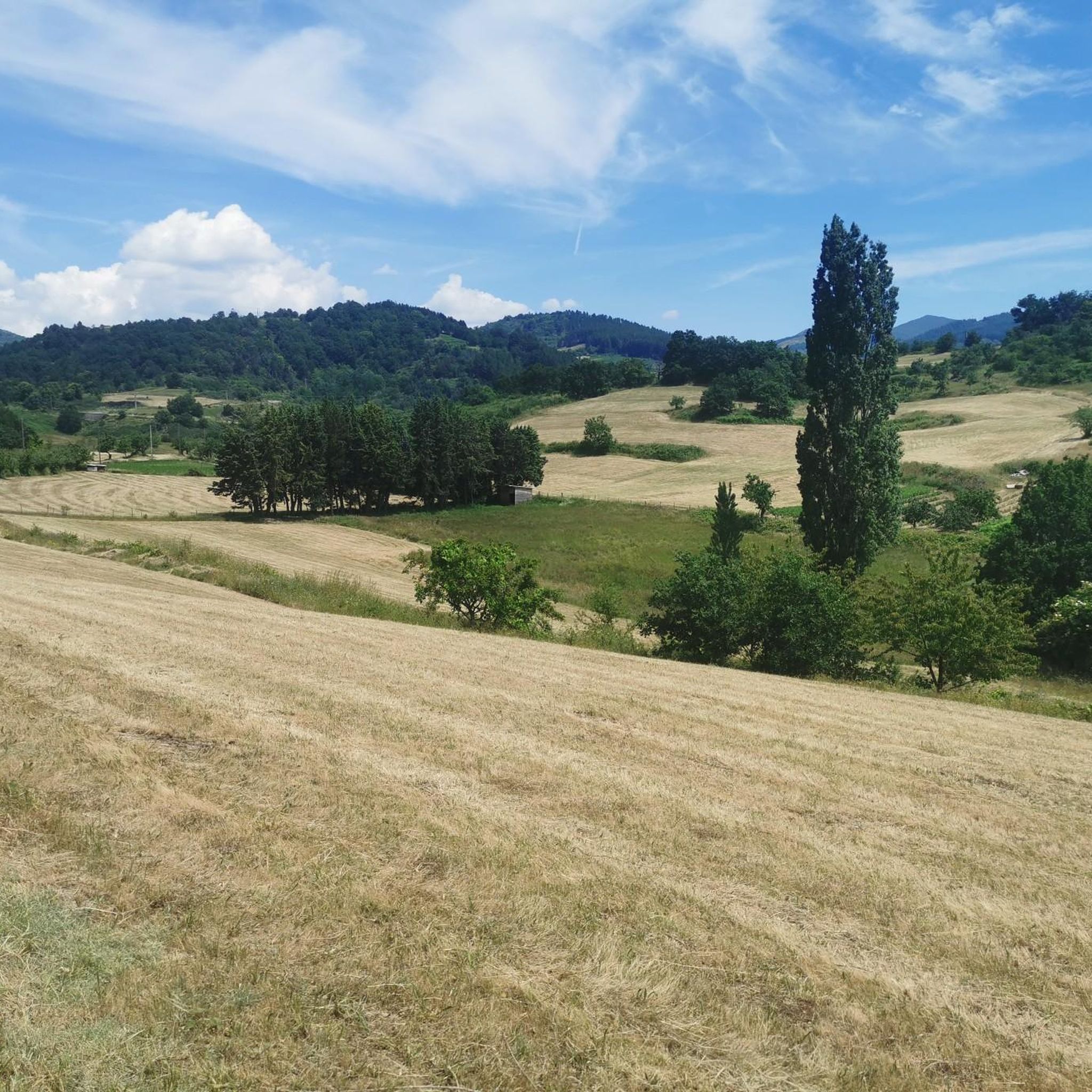
The view is beautiful on either side of the road.
0
0


The castle is located on the basalt field of the old volcano of Craux and dominates the valleys of Volane and Sandron. The castle was built in the 11th century as a hunting lodge. It was occupied for the last time in 1944 before being bought by the municipality in 1994 and restored.
6
0

The Col de Mézilhac from Le Cheylard is a frequent ascent in the Ardéchoise, a cyclosportive in June. The climb is 22 km long with a total elevation gain of 700 m. The average gradient is 3.18% with maximum gradients of 7.5%.
2
0
Frequently Asked Questions
What kind of terrain can I expect when road cycling around Saint-Andéol-De-Vals?
The region offers a varied topography within the Monts d'Ardèche Regional Nature Park, with significant altitude changes from 304 meters to 786 meters. You'll encounter hills, valleys, wild alluvial gorges, and ridges, providing both challenging climbs and rewarding descents. The landscape also features terraced areas, vast chestnut groves, and remnants of the region's volcanic past.
How many road cycling routes are available in the Saint-Andéol-De-Vals area?
There are over 150 road cycling routes around Saint-Andéol-De-Vals, catering to various skill levels. This includes 11 easy routes, 72 moderate routes, and 74 difficult routes, ensuring options for every cyclist.
Are there any easy or beginner-friendly road cycling routes near Saint-Andéol-De-Vals?
Yes, there are 11 easy road cycling routes available. While the region is known for its elevation changes, these routes offer a gentler introduction to the area's scenic beauty. For example, you can find routes that explore the charming hamlets and picturesque roads without significant climbs.
What are some challenging road cycling routes with notable climbs in the region?
For experienced cyclists seeking a challenge, routes like the Col du Gerbier de Jonc – Col de Mézilhac (1,119 m) loop from Vals-les-Bains offer substantial elevation gain. Another demanding option is the Col de Mézilhac (1,119 m) – Col de la Fayolle loop from Labégude, which features challenging climbs and descents with panoramic views.
What attractions or points of interest can I see along the road cycling routes?
As you cycle, you can discover historical sites and natural features. Notable attractions include the ancient Jastres Oppidum, the scenic Col du Benas (795 m), and historic castles such as Castles of Craux. The region also features ancient lavoirs, vaulted fountains, and remnants of its volcanic past like the 'Fauteuil du Diable'.
What do other road cyclists say about the routes in Saint-Andéol-De-Vals?
The road cycling routes in Saint-Andéol-De-Vals are highly rated by the komoot community, with an average score of 4.6 stars from over 200 reviews. Cyclists often praise the varied terrain, the stunning panoramic views of the Monts d'Ardèche, and the picturesque roads connecting charming hamlets.
Are there any circular road cycling routes available?
Yes, many routes in the area are designed as loops, allowing you to start and finish in the same location. Examples include the Col du Gerbier de Jonc – Col de Mézilhac (1,119 m) loop from Vals-les-Bains and the Route de Juvinas – Col de Juvinas, Elev. 718 m loop from Asperjoc, which offer diverse experiences.
What is the best time of year to go road cycling in Saint-Andéol-De-Vals?
The region's varied climate makes spring and autumn ideal for road cycling, offering pleasant temperatures and vibrant landscapes. Summer can also be suitable, especially for higher elevations, but be prepared for warmer conditions in the valleys. Winter cycling is possible but may be limited by colder temperatures and potential snow at higher altitudes.
Are there family-friendly road cycling options in Saint-Andéol-De-Vals?
While many routes feature significant elevation changes, there are 11 easy routes that could be suitable for families or those looking for a less strenuous ride. These routes often follow more gentle paths through valleys or along rivers, allowing for a more relaxed cycling experience.
Where can I find parking for road cycling routes in Saint-Andéol-De-Vals?
Parking is generally available in the main village of Saint-Andéol-De-Vals and in the larger surrounding towns and hamlets that serve as starting points for many routes, such as Vals-les-Bains or Labégude. It's advisable to check local signage for specific parking regulations.
Can I find cafes or places to stop for refreshments along the road cycling routes?
The winding roads connect the main village with charming, dispersed hamlets, where you can often find small cafes, bakeries, or local shops. Larger towns like Vals-les-Bains, frequently used as starting points, offer more extensive options for refreshments and accommodation.
What are the typical distances and elevations for road cycling routes in this area?
Routes vary significantly. For example, the Route de Juvinas – Col de Juvinas, Elev. 718 m loop from Asperjoc is about 37.4 km with 841 meters of elevation gain. More challenging routes like the Col du Gerbier de Jonc – Col de Mézilhac (1,119 m) loop from Vals-les-Bains can be over 86 km with more than 1800 meters of climbing.
Most popular routes around Saint-Andéol-De-Vals
Most popular attractions around Saint-Andéol-De-Vals

Get inspired with the komoot mobile app


Explore more
Browse the best Road cycling routes in other regions.
