The best road cycling routes around Bignicourt-Sur-Saulx
4.2
(5)
499
riders
77
rides
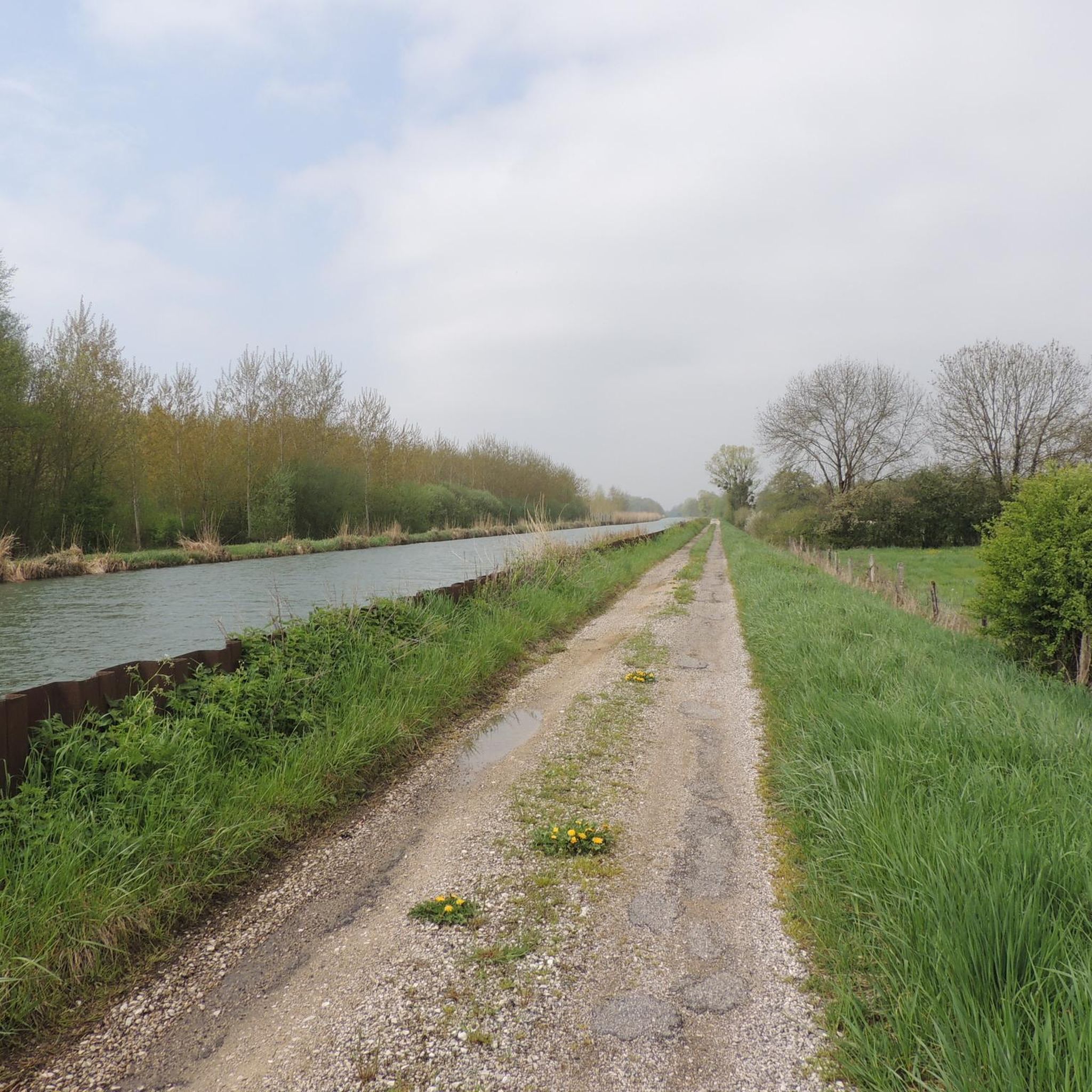
Road cycling routes around Bignicourt-Sur-Saulx are characterized by a gentle topography within the Marne department of France. The region features a rural landscape with green countryside, influenced by the Saulx river and the Marne-Rhin canal. Elevations typically range from 109 to 130 meters, providing mostly flat to gently rolling terrain suitable for road cycling.
Best road cycling routes around Bignicourt-Sur-Saulx
- The most popular road cycling route is Saint John the Baptist Church loop from Bignicourt-sur-Saulx, a 39.8 miles (64.1…
Last updated: May 11, 2026
15
riders
Moderate road ride. Good fitness required. Mostly well-paved surfaces and easy to ride.
10
riders
41.7km
01:49
270m
270m
Easy road ride. Great for any fitness level. Mostly well-paved surfaces and easy to ride.

Sign up for free
10
riders
49.1km
01:59
130m
130m
Easy road ride. Great for any fitness level. Mostly well-paved surfaces and easy to ride.
12
riders
69.9km
02:49
210m
210m
Moderate road ride. Good fitness required. Mostly well-paved surfaces and easy to ride.
3.0
(1)
9
riders
Moderate road ride. Good fitness required. Some segments of this route may be unpaved and difficult to ride.
Get access to more routes and recommendations from other explorers.
Sign up for free
Already have an account?
Our route recommendations are based on thousands of hikes, rides, and runs completed by other people on komoot.
Start today with a free account
Your next adventure awaits.
Login or Signup
Popular around Bignicourt-Sur-Saulx


Tips from the Community

The lake's water level is at its highest at the end of June, and at its lowest at the end of October - at that time, a large part of the lake is flooded, and the remains of the stumps of the former trees can still be seen.
0
0

View of the lake and the only kind bird world
3
0
Now at the beginning of October it is simply beautiful 🤩
1
0

The location is extremely attractive, both for relaxing walks and for a variety of leisure activities for all age groups.
2
0
The exhibition about the three villages whose projects may be relevant today, while in the past people lost their homes. It was very interesting to learn more about the crafts and the people in the region. A wonderful exhibition!
2
0
An engaging exhibition about the three former villages, with the project seeming relevant today, as people lost their homes in the past. It was very enlightening to learn more about the crafts and the people in the region. Exceptional exhibition!!!
3
0

Another beautiful half-timbered church on the Route des Églises à pans de bois de Champagne.
0
0
The museum village is absolutely worth a visit. The video explains the history of the lake. The museum staff are extremely accommodating. So, don't miss it!
0
0
Frequently Asked Questions
What is the general terrain like for road cycling around Bignicourt-sur-Saulx?
The region around Bignicourt-sur-Saulx features a gentle topography, with elevations typically ranging from 109 to 130 meters. This means you'll find mostly flat to gently rolling terrain, making it suitable for leisurely road cycling through green countryside, alongside the Saulx river, and near the Marne-Rhin canal.
How many road cycling routes are available in the Bignicourt-sur-Saulx area?
There are over 80 road cycling routes available around Bignicourt-sur-Saulx. This network offers a variety of options for different skill levels, from easy, shorter rides to longer, moderate routes.
Are there any easy road cycling routes suitable for beginners or families?
Yes, approximately 32 of the routes are classified as easy. An excellent option is the Pargny-sur-Saulx Town Hall loop from Maurupt-le-Montois, a 41.7 km trail that leads through agricultural land and rural villages, typically completed in about 1 hour 49 minutes.
What are some longer, more challenging road cycling routes in the area?
For those seeking a longer ride, the Auf dem Platz des armes – Stadttor Vitry-le-François loop from Pargny-sur-Saulx is a moderate 94.9 km path with varied terrain and some rolling sections, typically completed in 3 hours 55 minutes. Another moderate option is the Saint John the Baptist Church loop from Bignicourt-sur-Saulx, a 64.1 km trail with gentle elevation changes.
What kind of natural features or landscapes can I expect to see while cycling?
The region is characterized by its rural charm and 'green countryside.' You'll cycle through a mix of wooded areas, agricultural land, and alongside the Saulx river and the Marne-Rhin canal. The relatively gentle topography allows for enjoyable rides through serene natural beauty.
Are there any notable landmarks or attractions along the road cycling routes?
Yes, you can discover several points of interest. For example, you might encounter the Ruins of the Abbey of Trois-Fontaines, or cycle along the Canal-Side Pathway. The Bignicourt Bridge over the canal is also a local landmark.
What do other road cyclists think about the routes in Bignicourt-sur-Saulx?
The road cycling routes in Bignicourt-sur-Saulx are highly rated by the komoot community, with an average score of 4.0 stars from over 4 reviews. More than 400 road cyclists have used komoot to explore the varied terrain, often praising the peaceful countryside and well-maintained paths.
Are there any circular road cycling routes available?
Yes, many of the routes are designed as loops, offering convenient circular journeys. Examples include the View of Lac du Der – Campsite beach loop from Blesme - Haussignémont, an easy 49.1 km ride, and the moderate Lake Der-Chantecoq – Campsite beach loop from Blesme - Haussignémont, covering 69.9 km.
What is the best time of year for road cycling in Bignicourt-sur-Saulx?
Given the 'green countryside' and rural charm, spring and summer are ideal for road cycling in Bignicourt-sur-Saulx, offering pleasant weather to enjoy the natural beauty. Autumn can also be beautiful with changing foliage, though cooler temperatures.
Is there parking available near the cycling routes?
While specific parking locations for each route are not detailed here, as a rural area, Bignicourt-sur-Saulx and its surrounding villages typically offer public parking options. It's advisable to check local village centers or starting points of routes for convenient parking.
Can I find routes that pass by the Lac du Der-Chantecoq?
Yes, some routes extend towards the Lac du Der-Chantecoq area. For instance, the View of Lac du Der – Campsite beach loop from Blesme - Haussignémont and the Lake Der-Chantecoq – Campsite beach loop from Blesme - Haussignémont offer opportunities to cycle near this significant natural feature.
Most popular attractions around Bignicourt-Sur-Saulx

Get inspired with the komoot mobile app


Explore more
Browse the best Road cycling routes in other regions.
