The best road cycling routes around Jonchères
4.8
(102)
2,135
riders
51
rides
Road cycling routes around Jonchères are characterized by varied terrain, including significant climbs to mountain passes and descents through forested valleys. The region features a landscape of rolling roads and elevated sections, offering diverse challenges for road cyclists. These routes often traverse areas with notable elevation changes, providing both demanding ascents and scenic views. The natural environment is defined by its mix of open roads and sections that wind through more secluded, natural settings.
Best road cycling routes around Jonchères
…Last updated: November 8, 2026
4.7
(15)
146
riders
38.5km
02:00
700m
700m
Moderate road ride. Good fitness required. Mostly well-paved surfaces and easy to ride.
4.4
(7)
107
riders
93.8km
04:46
1,590m
1,590m
Hard road ride. Very good fitness required. Mostly well-paved surfaces and easy to ride.

5.0
(4)
121
riders
81.0km
04:02
1,290m
1,290m
Hard road ride. Very good fitness required. Mostly well-paved surfaces and easy to ride.
4.8
(4)
107
riders
66.2km
03:24
1,170m
1,170m
Hard road ride. Very good fitness required. Mostly well-paved surfaces and easy to ride.
3.0
(2)
171
riders
83.5km
04:29
1,660m
1,660m
Hard road ride. Very good fitness required. Mostly well-paved surfaces and easy to ride.
Get access to more routes and recommendations from other explorers.
Already have an account?
Our route recommendations are based on thousands of hikes, rides, and runs completed by other people on komoot.
Start today with a free account
Your next adventure awaits.
Tips from the Community

Picturesquely nestled along the Drôme River and dominated by the spectacular limestone cliffs of the Vercors massif (right at the foot of the Col du Rousset), the historic town of Die is an unmissable stop. Its historic center boasts an ancient charm with architecture dating back to the 12th century. It's the perfect place for a regenerating break among its alleys, artisan shops, and outdoor cafes.
10
0
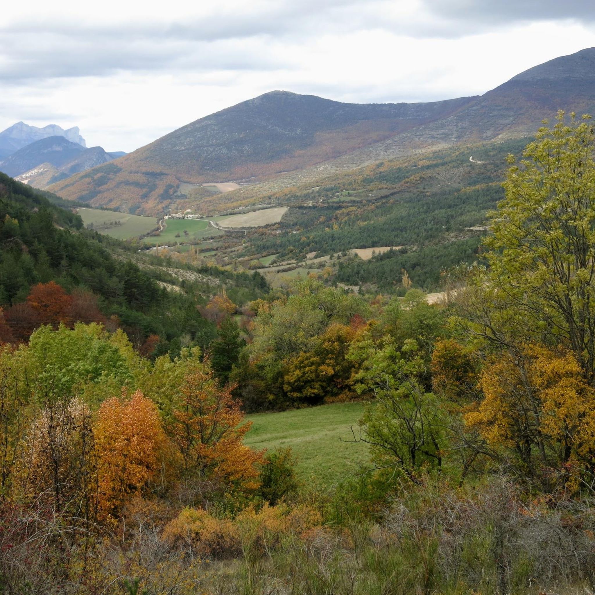
The Col de Menée (1,457 m) is one of the most fascinating and scenic alpine passes in the Auvergne-Rhône-Alpes region, famous for being a natural and geographical border between the Vercors massif (Trièves) and Diois.
9
0
The Col de Menée (1,402 m) is one of the most fascinating and scenic passes straddling the Drôme and Isère, right on the border of the Vercors Regional Natural Park.
9
0
Col de Menée (1,402 m) is one of the most fascinating and scenic passes straddling the Drôme and Isère, right on the border of the Regional Natural Park of Vercors.
8
0
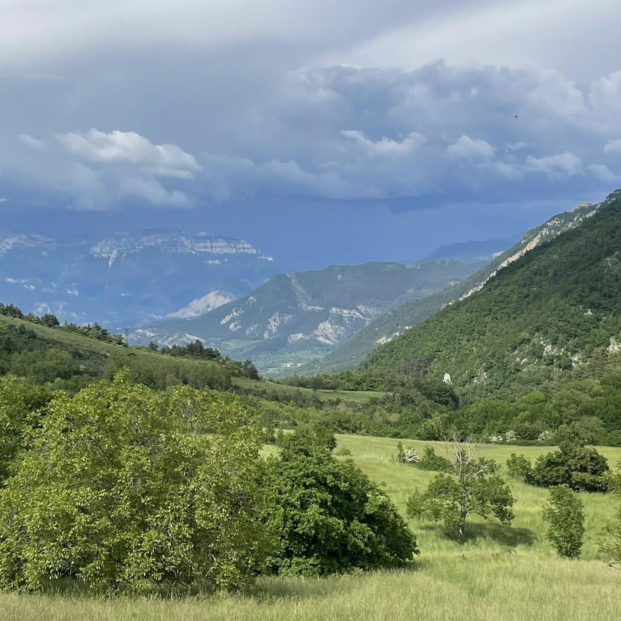
The Col de Pennes (1,038 m) is a pass in the Diois massif, in the Drôme, which connects the Drôme valley with the Roanne valley. It is a little-known climb but highly appreciated by cyclists for the tranquility of the road, the good asphalt and the splendid panoramas.
10
0
Super beautiful passage, nature has given its best here.
11
0
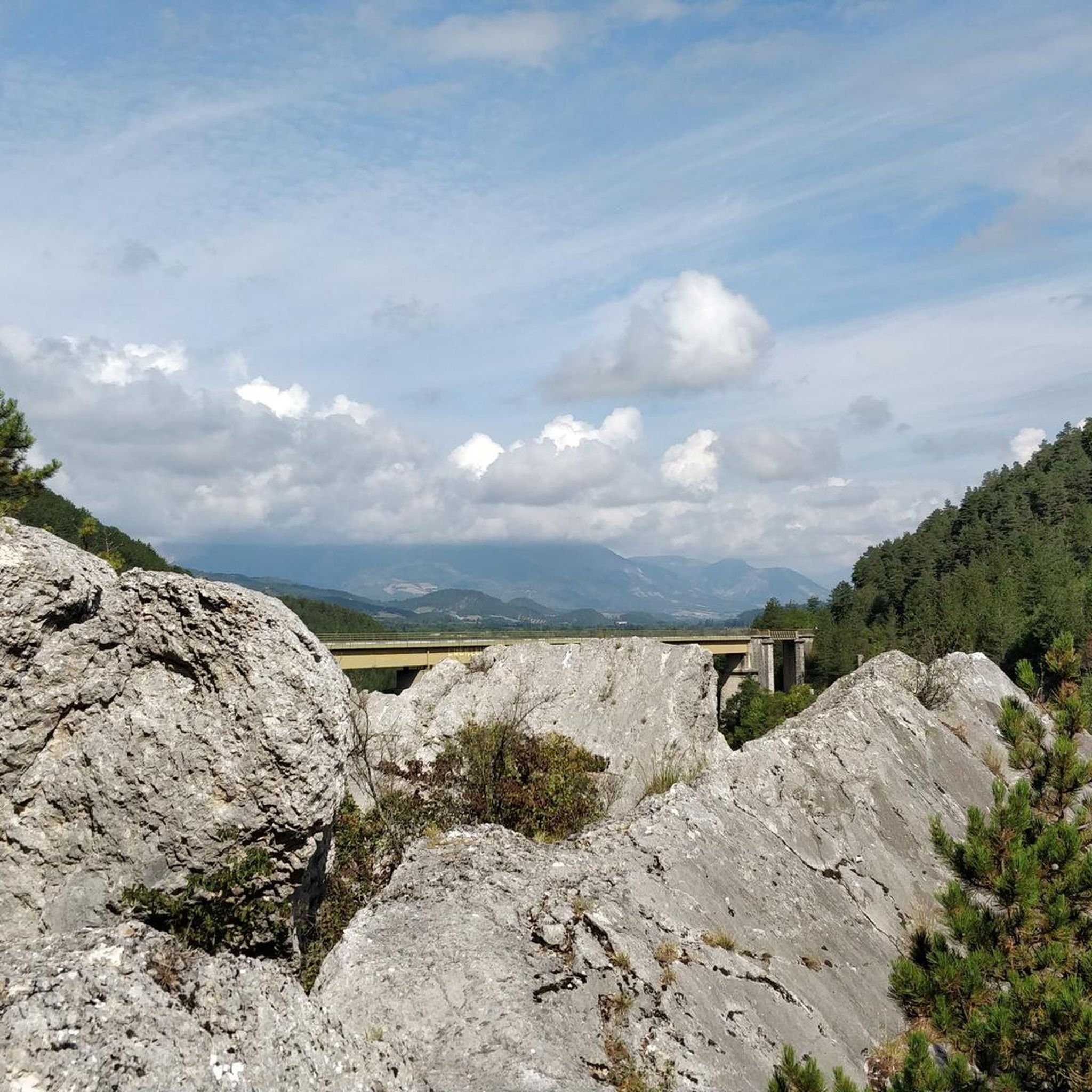
The Col de Tavard is a small pass in the Drôme, in the Auvergne-Rhône-Alpes region, in the southeast of France.
9
0
Simply stunning viewpoint.
7
0
Frequently Asked Questions
What kind of terrain can I expect on road cycling routes around Jonchères?
Road cycling routes around Jonchères are characterized by varied terrain, including significant climbs to mountain passes and descents through forested valleys. You'll find rolling roads and elevated sections, offering diverse challenges and scenic views. The natural environment is a mix of open roads and more secluded, natural settings.
How many road cycling routes are available in the Jonchères area?
There are over 40 road cycling routes around Jonchères, catering to various skill levels. This includes 7 easy routes, 18 moderate routes, and 18 difficult routes, ensuring options for every cyclist.
Are there any challenging routes for experienced road cyclists?
Yes, Jonchères offers several challenging routes. For instance, the Panoramic View of the Diois – Col de Rousset loop from Luc-en-Diois is a difficult 85.4 km path with nearly 1400 meters of elevation gain, offering expansive views. Another demanding option is the Col de la Croix – Die loop from Luc-en-Diois, a 126.2 km trail leading through multiple mountain passes.
What are some moderate road cycling routes in the region?
For a moderate challenge, you could try the Col de Miscon from Luc-en-Diois, a 38.5 km route featuring a significant climb to the pass. Another moderate option is the Col de Pennes – Luc-en-Diois loop from Luc-en-Diois, which covers 34.4 km with over 660 meters of elevation gain.
What do other road cyclists think about the routes around Jonchères?
The routes in Jonchères are highly rated by the komoot community, with an average score of 4.8 stars from over 80 reviews. Cyclists often praise the varied terrain, the challenging climbs to mountain passes, and the scenic views of the Diois region.
Are there any notable natural attractions or viewpoints along the road cycling routes?
Yes, the area around Jonchères is rich in natural beauty. You can find highlights such as the Saut de la Drôme and the Claps, the Claps Rock Chaos, and the Gorges de l'Arayon. For panoramic views, consider visiting the Panoramic View of the Baronnies Provençales.
Can I find routes that include mountain passes?
Absolutely. Road cycling around Jonchères is defined by its mountain passes. Routes frequently traverse passes like Col de Pennes, Prémol Pass, and Guillens Pass (802 m), offering both challenging climbs and rewarding descents.
Are there any loop routes available for road cycling?
Many routes around Jonchères are designed as loops. Examples include the difficult Panoramic View of the Diois – Col de Rousset loop from Luc-en-Diois and the Col de la Croix – Die loop from Luc-en-Diois. For a slightly shorter option, there's the Cabre Pass (1,180 m) – Col de Carabès loop from Marais des Bouligons.
What is the typical duration for road cycling routes in this area?
Route durations vary significantly based on distance and difficulty. For example, a moderate route like Col de Miscon from Luc-en-Diois typically takes around 2 hours, while a difficult, longer route such as Col de la Croix – Die loop from Luc-en-Diois can take nearly 6 hours to complete.
Is the Jonchères region suitable for road cyclists looking for significant elevation changes?
Yes, the Jonchères region is ideal for road cyclists who enjoy significant elevation changes. The routes are characterized by substantial climbs to mountain passes and descents through valleys, with many routes featuring over 1000 meters of ascent, providing a demanding and rewarding experience.
What is the longest road cycling route I can find around Jonchères?
One of the longest routes is the Col de la Croix – Die loop from Luc-en-Diois, which spans 126.2 km and includes over 1600 meters of elevation gain, making it a substantial ride for experienced cyclists.
Most popular attractions around Jonchères

Get inspired with the komoot mobile app


Explore more
Browse the best Road cycling routes in other regions.
