The best walks and hikes around Saint-Mard
4.3
(67)
328
hikers
30
hikes
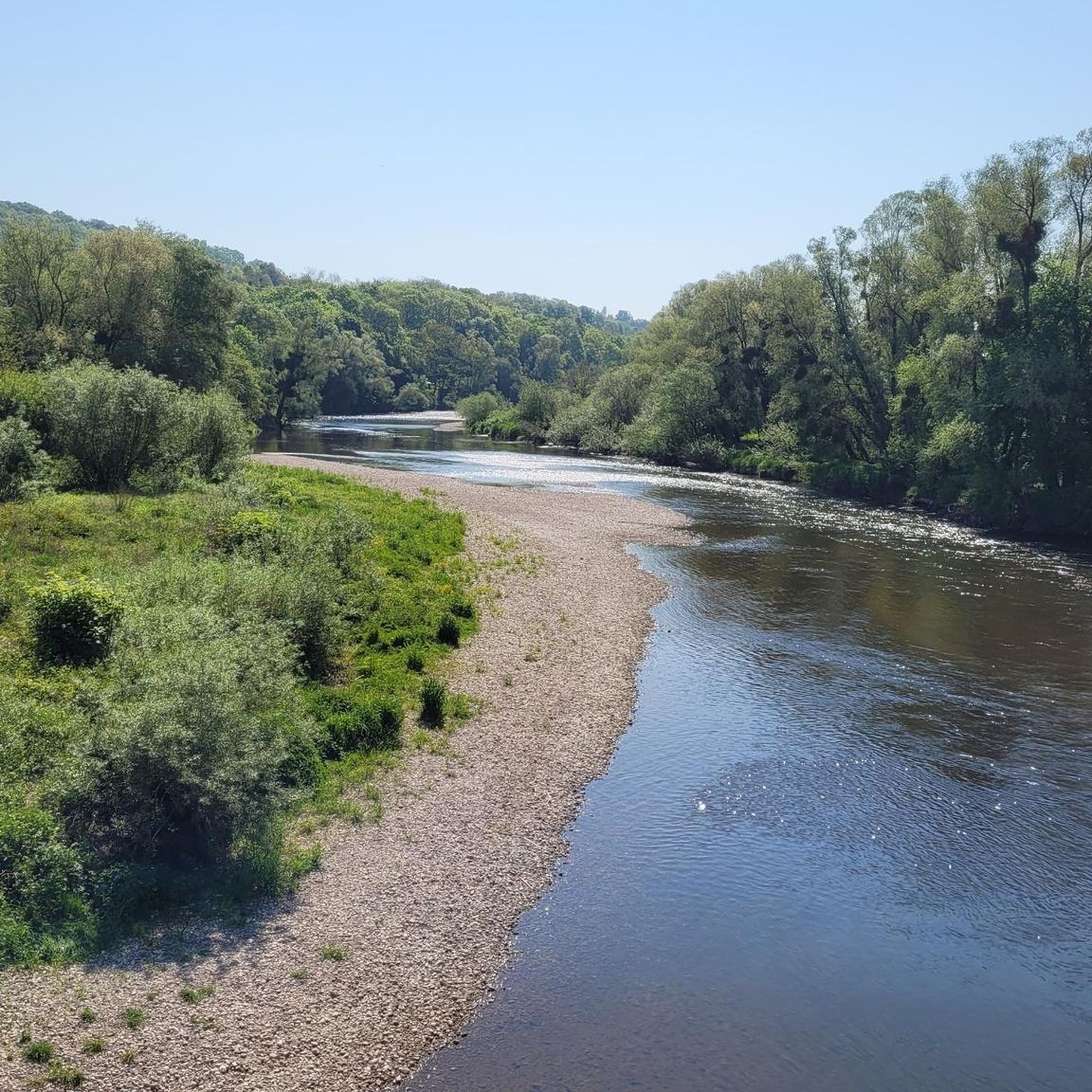
Hiking around Saint-Mard features a landscape characterized by gentle hills and varied terrain, offering a mix of open fields and wooded sections. The region's trails often follow waterways and provide views of the local countryside. Many routes are circular walks, making them convenient for exploration.
Best hiking trails around Saint-Mard
- The most popular hiking route is Saint Quentin fountain – The top of the vines loop from Ferrières, a 6.2 miles (10.0 km) trail that takes about 2 hours…
Last updated: October 9, 2026
5.0
(1)
8
hikers
10.0km
02:48
200m
200m
Moderate hike. Good fitness required. Easily-accessible paths. Suitable for all skill levels.
14
hikers
Easy hike. Great for any fitness level. Easily-accessible paths. Suitable for all skill levels.

4.7
(3)
18
hikers
Moderate hike. Good fitness required. Easily-accessible paths. Suitable for all skill levels.
3.8
(4)
7
hikers
13.1km
03:21
50m
50m
Moderate hike. Good fitness required. Easily-accessible paths. Suitable for all skill levels.
6
hikers
7.02km
01:46
10m
10m
Easy hike. Great for any fitness level. Easily-accessible paths. Suitable for all skill levels.
Get access to more routes and recommendations from other explorers.
Already have an account?
Our route recommendations are based on thousands of hikes, rides, and runs completed by other people on komoot.
Start today with a free account
Your next adventure awaits.



Tips from the Community

the locks line up like pearls along the canal
0
0
impressive water crossing with technique
0
0

canal bridge with cycle path great view
0
0
again and again a lock on the bike path
0
0
again a lock on the Moselle
0
0
always a bridge over the canal again
0
0
a lock every few km
0
0
Frequently Asked Questions
How many hiking trails are available around Saint-Mard?
There are over 30 hiking trails around Saint-Mard, offering a variety of options for different skill levels and preferences. The region is known for its gentle hills, open fields, and wooded paths.
Are there easy hiking trails suitable for beginners or families in Saint-Mard?
Yes, Saint-Mard offers several easy trails perfect for beginners or families. For example, the Round trip from the campsite loop from Bayon is an easy 1.9-mile (3.0 km) path, providing an accessible walk through the local area. Another great option is the Round trip from the campsite loop from Roville-devant-Bayon, which is 4.2 miles (6.7 km) and also rated easy.
Are there any longer hiking trails for more experienced hikers?
Absolutely. For those seeking a longer challenge, the Hiking loop from Tonnoy covers 8.2 miles (13.1 km) and takes approximately 3 hours 21 minutes to complete. This moderate trail offers a good workout through varied terrain.
What kind of scenery can I expect on hikes around Saint-Mard?
Hiking around Saint-Mard features a landscape characterized by gentle hills and varied terrain, offering a mix of open fields and wooded sections. Many trails follow waterways and provide pleasant views of the local countryside.
Are there any circular walks available in Saint-Mard?
Yes, many of the routes in Saint-Mard are circular walks, making them convenient for exploration. For instance, the popular Notre-Dame-en-son-Assomption – Lock No. 41 of Crevéchamps loop from Crévéchamps is a 6.0-mile (9.7 km) circular trail.
What do other hikers enjoy most about the trails in Saint-Mard?
The trails in Saint-Mard are highly rated by the komoot community, with an average score of 4.3 stars from over 60 reviews. Hikers often praise the varied terrain, the mix of open fields and wooded paths, and the convenience of the many circular routes.
Can I bring my dog on the hiking trails in Saint-Mard?
Many trails in the Saint-Mard region are dog-friendly, especially those that traverse open fields and wooded areas. It's always recommended to keep your dog on a leash, especially near livestock or in protected natural areas, and to check specific trail regulations if available.
Are there any interesting landmarks or attractions to see along the hiking routes?
While hiking around Saint-Mard, you can discover several interesting points of interest. Notable attractions include the historic Haroué Castle, the engineering marvel of the Flavigny-sur-Moselle Canal Aqueduct, and the serene Ponds of the Saussaie de Bayon. These can often be incorporated into or viewed from various hiking paths.
When is the best time of year to go hiking in Saint-Mard?
The best time to hike in Saint-Mard is generally during spring, summer, and autumn. Spring brings blooming wildflowers, summer offers warm weather for longer days, and autumn provides beautiful foliage. The gentle terrain makes it accessible for hiking across multiple seasons.
Are there any hikes with good viewpoints in the Saint-Mard area?
Yes, some trails offer elevated sections that provide scenic viewpoints over the surrounding countryside. For instance, the Saint Quentin fountain – The top of the vines loop from Ferrières features a moderate ascent to a hill, offering panoramic views of the region.
Is public transport available to access hiking trailheads in Saint-Mard?
While Saint-Mard is a rural area, some local bus services might connect to nearby villages. However, for direct access to many trailheads, especially those outside the main village centers, personal transport is often the most convenient option.
Are there options for parking near the hiking trails?
Parking is generally available in or near the villages where many trails begin. Look for designated parking areas in village centers or near popular trailheads. It's advisable to check local signage for any restrictions.
Most popular attractions around Saint-Mard

Get inspired with the komoot mobile app


Explore more
Browse the best Hikes in other regions.
