The best walks and hikes around Marcilly-La-Gueurce
4.6
(86)
352
hikers
82
hikes
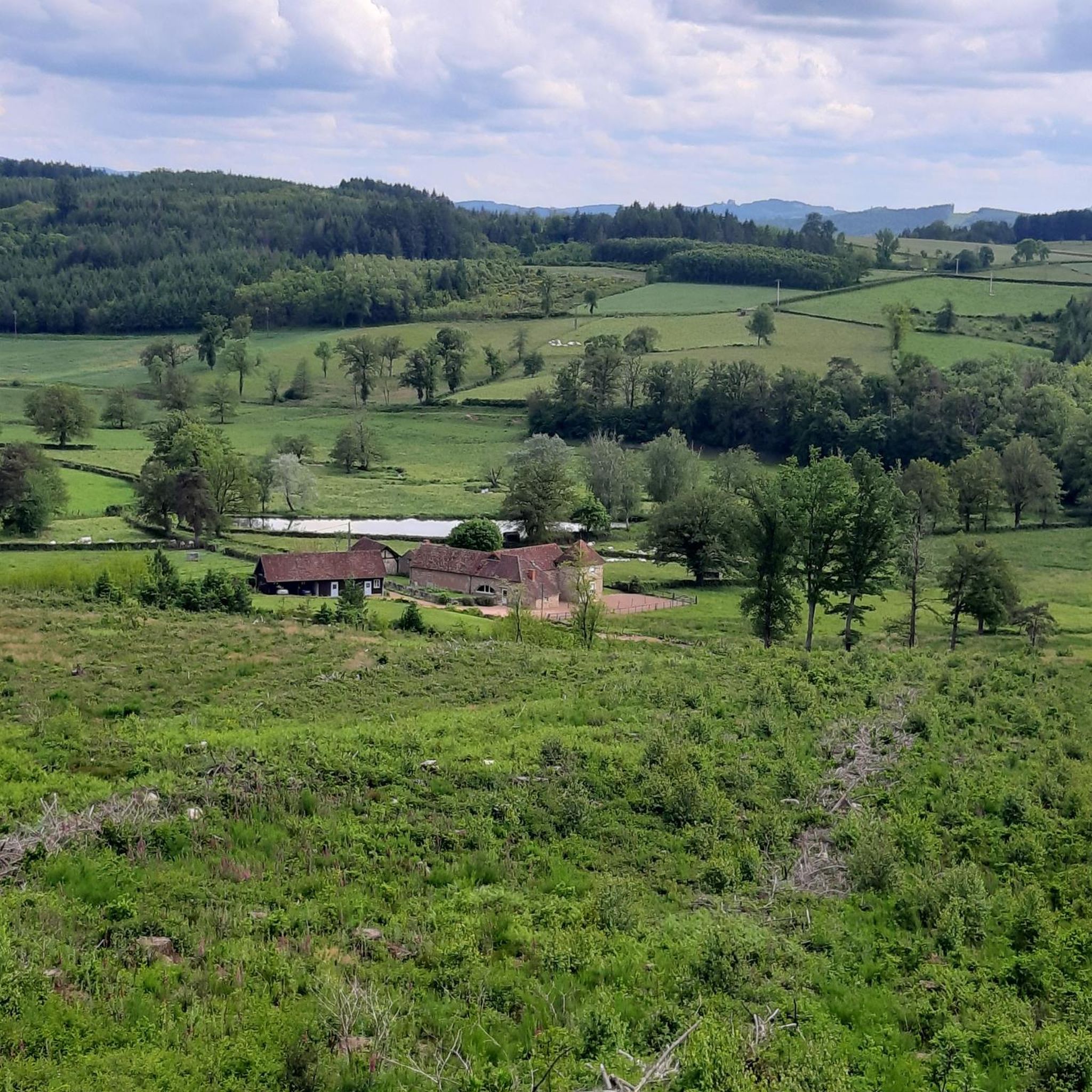
Hiking around Marcilly-La-Gueurce offers varied terrain, characterized by a mix of forests, meadows, and moorland. The region features prominent natural landmarks such as Montassis Hill, which reaches an altitude of 163 meters and provides panoramic views. Tranquil water bodies like Étang de la Grue also contribute to the landscape, offering peaceful settings for outdoor activities. The nearby Val de Saône further expands hiking opportunities along the Saône river and its canals.
Best hiking trails in Marcilly-La-Gueurce
- The most popular hiking…
Last updated: May 15, 2026
4.0
(1)
5
hikers
5.55km
01:31
90m
90m
Easy hike. Great for any fitness level. Easily-accessible paths. Suitable for all skill levels.
10
hikers
14.3km
03:47
140m
140m
Moderate hike. Good fitness required. Easily-accessible paths. Suitable for all skill levels.

Sign up for free
4.0
(1)
3
hikers
12.5km
03:27
220m
220m
Moderate hike. Good fitness required. Easily-accessible paths. Suitable for all skill levels.
4
hikers
5.14km
01:22
60m
60m
Easy hike. Great for any fitness level. Easily-accessible paths. Suitable for all skill levels.
4
hikers
9.96km
02:46
180m
180m
Moderate hike. Good fitness required. Easily-accessible paths. Suitable for all skill levels.
Get access to more routes and recommendations from other explorers.
Sign up for free
Already have an account?
Our route recommendations are based on thousands of hikes, rides, and runs completed by other people on komoot.
Start today with a free account
Your next adventure awaits.
Login or Signup

Tips from the Community

Great! 👍🏼 Here comes the 🍕 from the machine after three minutes. 12 varieties to choose from. Was really good. Beats any frozen pizza by far and many others too. Enjoy dinner!
0
0

A bridge over the Arconce river in the small town of Charolles.
0
0
Frequently Asked Questions
How many hiking trails are available in Marcilly-La-Gueurce?
There are over 80 hiking trails around Marcilly-La-Gueurce, offering a wide range of options for different preferences and fitness levels. These routes explore the region's diverse landscapes, including forests, meadows, and serene ponds.
Are there easy hiking trails suitable for beginners or families?
Yes, Marcilly-La-Gueurce offers a good selection of easy trails. Approximately 24 routes are classified as easy, perfect for beginners or families looking for a relaxed walk. An example is the Charles the Bold Tour loop from Charolles, which is 5.1 km long and features minimal elevation gain.
What kind of natural landscapes can I expect to see while hiking in Marcilly-La-Gueurce?
The region is characterized by rolling hills, extensive forest massifs, open meadows, and moorland. You'll encounter tranquil water bodies like Étang de la Grue, and the prominent Montassis Hill offers panoramic views. The nearby Val de Saône also provides hiking opportunities along the Saône river and its canals, with areas like the Maillys Ecological Reserve showcasing local flora and fauna.
Are there any notable landmarks or points of interest along the hiking routes?
Yes, the area around Marcilly-La-Gueurce features several interesting landmarks. You might encounter historic castles such as Château de La Clayette, Drée Castle, and Montrouant Castle. There's also the Saint-Barthélemy Church and the unique Miniature Eiffel Tower with Velociraptor.
What do other hikers enjoy most about the trails in Marcilly-La-Gueurce?
Hikers frequently praise the varied terrain and natural beauty of Marcilly-La-Gueurce. The routes are highly rated by the komoot community, with an average score of 4.5 stars from over 80 reviews. Many appreciate the quiet woodlands, serene ponds, and the opportunity to explore both historical and natural features.
Are there any circular hiking routes available?
Many of the trails in Marcilly-La-Gueurce are circular, allowing you to start and end at the same point. For example, the Étang de Chassagne loop from Dyo is a moderate 9.9 km circular route that takes you around the pond and through the surrounding countryside.
Can I bring my dog on the hiking trails?
While many trails in natural areas are generally dog-friendly, it's always recommended to keep your dog on a leash, especially in sensitive natural areas like Montassis Hill or near wildlife. Specific regulations for dogs on trails can vary, so please observe local signage.
What is the best time of year for hiking in Marcilly-La-Gueurce?
The region offers pleasant hiking conditions through much of the year. Spring and autumn provide mild temperatures and beautiful scenery with blooming flowers or vibrant foliage. Summer is also suitable, though it can be warmer, making early mornings or late afternoons ideal. Winter hiking is possible, but some trails might be muddy or require appropriate gear.
Are there any longer, more challenging hikes for experienced hikers?
Yes, for those seeking a greater challenge, there are moderate to difficult routes available. For instance, the Arconce Bridge – Charles the Bold Tour loop from Charolles is a moderate 14.3 km path that explores historical and natural features, taking nearly 4 hours to complete. There are also 2 routes specifically rated as difficult for experienced hikers.
Is there public transport access to the hiking trailheads?
Information on specific public transport links directly to trailheads in Marcilly-La-Gueurce is limited. It is generally advisable to have your own transport to access the starting points of many hikes in this rural area. For broader regional transport information, you might consult local tourist resources like Cap Val de Saône Tourisme.
Where can I find parking near the hiking trails?
Parking is typically available near the starting points of many popular trails and in the villages themselves. For specific routes, komoot often provides details on parking facilities. For example, trails starting from Charolles or Vaudebarrier usually have designated parking areas.
Can I find places to eat or drink near the hiking routes?
While Marcilly-La-Gueurce is a smaller commune, nearby towns and villages like Charolles offer various amenities including cafés and restaurants where you can refuel after your hike. It's a good idea to check opening hours in advance, especially in smaller establishments.
Most popular routes around Marcilly-La-Gueurce
Most popular attractions around Marcilly-La-Gueurce

Get inspired with the komoot mobile app


Explore more
Browse the best Hikes in other regions.
