The best walks and hikes around Vaudebarrier
4.6
(60)
258
hikers
70
hikes
Hiking around Vaudebarrier offers routes through a landscape characterized by green meadows, rolling hills, and forests. The region is traversed by the Semence, Ozolette, and Marmançon rivers, creating varied waterscapes and open green spaces. This natural environment provides diverse terrains for exploration on foot, ranging from riverside paths to shaded woodland trails. The area's topography includes gentle ascents and descents, suitable for various hiking experiences.
Best hiking trails around Vaudebarrier
- The most popular hiking route is Bois de la Grande…
Last updated: May 15, 2026
4.0
(1)
5
hikers
5.55km
01:31
90m
90m
Easy hike. Great for any fitness level. Easily-accessible paths. Suitable for all skill levels.
10
hikers
14.3km
03:47
140m
140m
Moderate hike. Good fitness required. Easily-accessible paths. Suitable for all skill levels.

Sign up for free
4.0
(1)
3
hikers
12.5km
03:27
220m
220m
Moderate hike. Good fitness required. Easily-accessible paths. Suitable for all skill levels.
4
hikers
5.14km
01:22
60m
60m
Easy hike. Great for any fitness level. Easily-accessible paths. Suitable for all skill levels.
2
hikers
5.98km
01:38
90m
90m
Easy hike. Great for any fitness level. Easily-accessible paths. Suitable for all skill levels.
Get access to more routes and recommendations from other explorers.
Sign up for free
Already have an account?
Our route recommendations are based on thousands of hikes, rides, and runs completed by other people on komoot.
Start today with a free account
Your next adventure awaits.
Login or Signup


Tips from the Community

Great! 👍🏼 Here comes the 🍕 from the machine after three minutes. 12 varieties to choose from. Was really good. Beats any frozen pizza by far and many others too. Enjoy dinner!
0
0

A bridge over the Arconce river in the small town of Charolles.
0
0
Frequently Asked Questions
How many hiking trails are available around Vaudebarrier?
There are over 70 hiking trails around Vaudebarrier, offering a wide range of options for different skill levels. You'll find everything from easy strolls to more challenging routes through the varied landscape.
What kind of terrain can I expect on hikes in Vaudebarrier?
The terrain around Vaudebarrier is characterized by picturesque green meadows, rolling hills, and forests. You'll encounter paths along the meandering Semence, Ozolette, and Marmançon rivers, as well as shaded woodland trails and open green spaces. The topography includes gentle ascents and descents, providing diverse hiking experiences.
Are there any easy, family-friendly hikes in the area?
Yes, Vaudebarrier offers several easy routes suitable for families. An excellent option is the Bois de la Grande Brosse loop from Vaudebarrier, which is 5.5 km long and takes about 1 hour 30 minutes to complete. Another easy choice is the Charles the Bold Tour loop from Charolles, a 5.1 km trail.
Are there any circular walks around Vaudebarrier?
Many of the trails in the Vaudebarrier region are circular, allowing you to start and end at the same point. Examples include the easy Bois de la Grande Brosse loop from Vaudebarrier and the moderate Tourny Washhouse loop from Changy.
What are some notable landmarks or attractions I can see near the hiking trails?
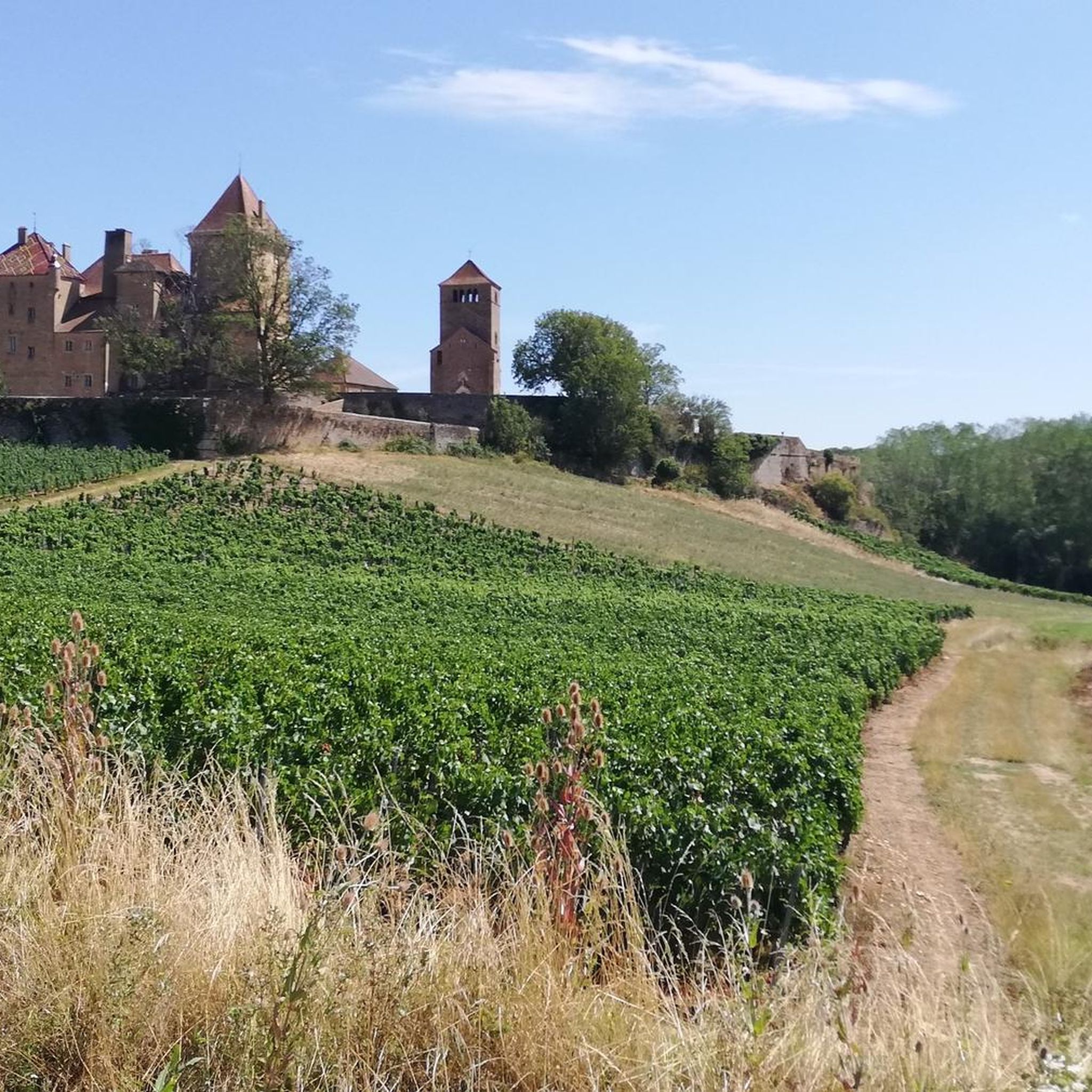
While hiking around Vaudebarrier, you can explore several interesting landmarks. Consider visiting historical sites like Drée Castle or Montrouant Castle. For a unique sight, there's also the Miniature Eiffel Tower with Velociraptor. The Saint-Barthélemy Church and Montmelard War Memorial also offer a glimpse into local history.
What do other hikers enjoy most about hiking in Vaudebarrier?
The hiking trails around Vaudebarrier are highly rated by the komoot community, with an average score of 4.6 stars from over 50 reviews. Hikers often praise the quiet woodlands, the serene riverside paths, and the well-maintained trails that make for enjoyable walks through the picturesque Charolais landscape.
Are there any longer or more challenging routes for experienced hikers?
Yes, for those seeking a longer experience, the Arconce Bridge – Charles the Bold Tour loop from Charolles is a moderate 14.3 km path that explores the wider Charolles region. Another moderate option is the Beaver Dam loop from Charolles, which spans 12.5 km.
What is the best time of year to go hiking in Vaudebarrier?
Vaudebarrier's green landscapes and riverine scenery are particularly pleasant during spring, summer, and early autumn. These seasons offer mild weather, lush vegetation, and comfortable conditions for exploring the trails. Winter hikes are also possible, though some paths might be muddy or require appropriate gear.
Is Vaudebarrier a good destination for nature observation?
Absolutely. The region's diverse environment, with its rivers, meadows, and forests, provides opportunities to observe local flora and fauna. The tranquil waterscapes and wooded areas are home to various species, making it an appealing spot for nature enthusiasts.
Are there options for public transport to reach hiking trails in Vaudebarrier?
While specific public transport options directly to every trailhead in Vaudebarrier may be limited, the Burgundy region generally has a network of transport services. For detailed information on reaching Vaudebarrier and nearby trail access points via public transport, it's advisable to consult local transport schedules or the official Burgundy Tourism website for the most current advice.
Where can I find more information about the broader hiking network in Burgundy?
Vaudebarrier is part of Burgundy's extensive hiking network, which boasts 6,000 km of marked trails. For more information on the wider regional hiking opportunities, including various long-distance routes and themed trails, you can visit the Burgundy Tourism hiking page.
Most popular attractions around Vaudebarrier

Get inspired with the komoot mobile app


Explore more
Browse the best Hikes in other regions.
